A Day's Drive through the Trinity Alps
Mad River to Mount Shasta
McKinleyville to Weed
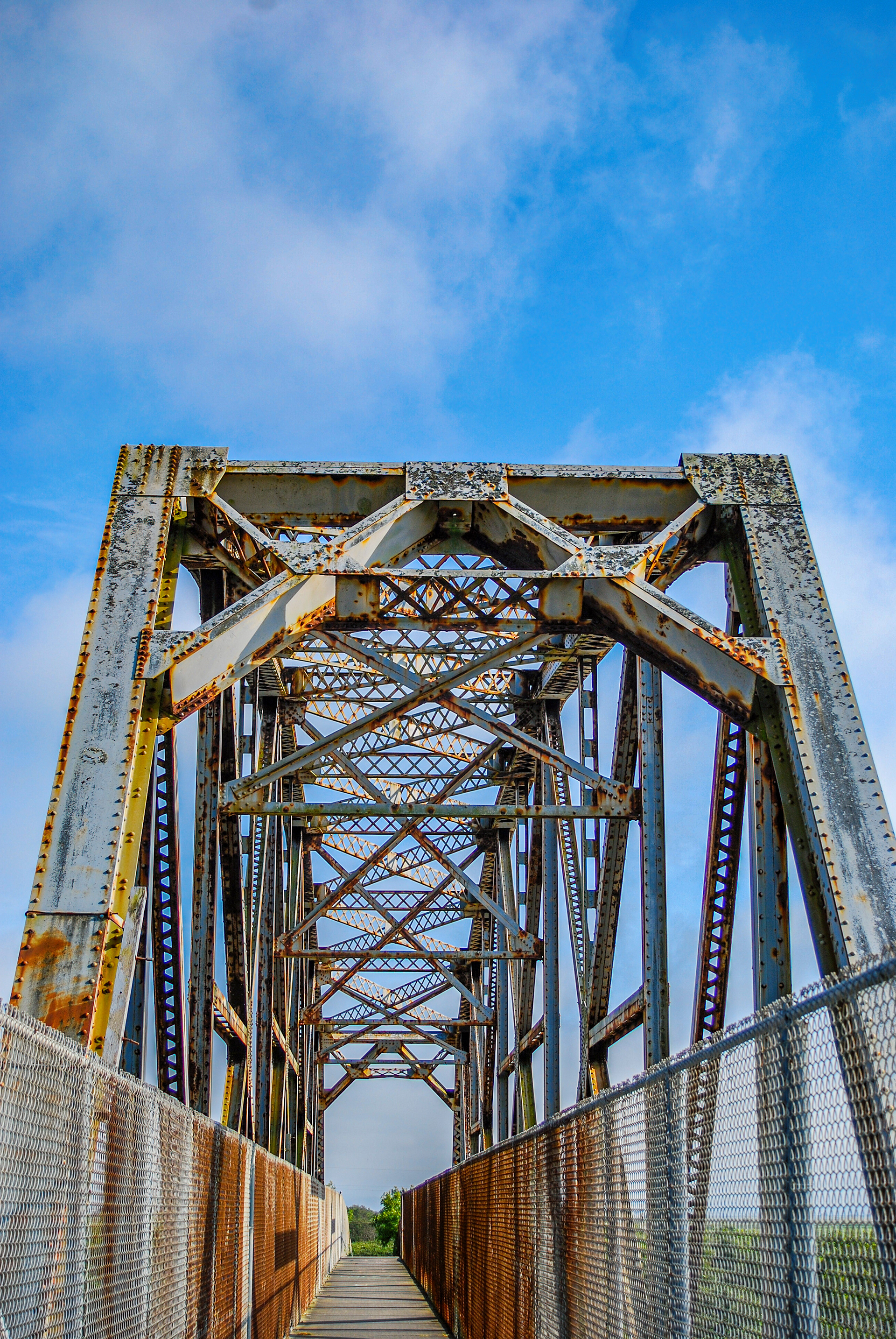
The morning of June 1st, 2007, we start our trip at the historic Hammond Bridge across the Mad River, connecting McKinleyville with the Arcata Bottom. As can be seen in this photo, the bridge is rusting badly, not surprising for a steel bridge near the ocean. An article in the Arcata Eye dated December 30th, 2012, states that the bridge is in such bad condition, it will need to be removed and probably replaced within the next ten years. Originally placed as a railroad bridge, at the time I was there (almost thirteen years ago), the bridge was restricted to pedestrian travel, but had a pipeline on the other side of the chain link fence that was put in place to carry treated waste water to irrigate the fields in the Arcata Bottom. The pipeline hasn't been used for many years.
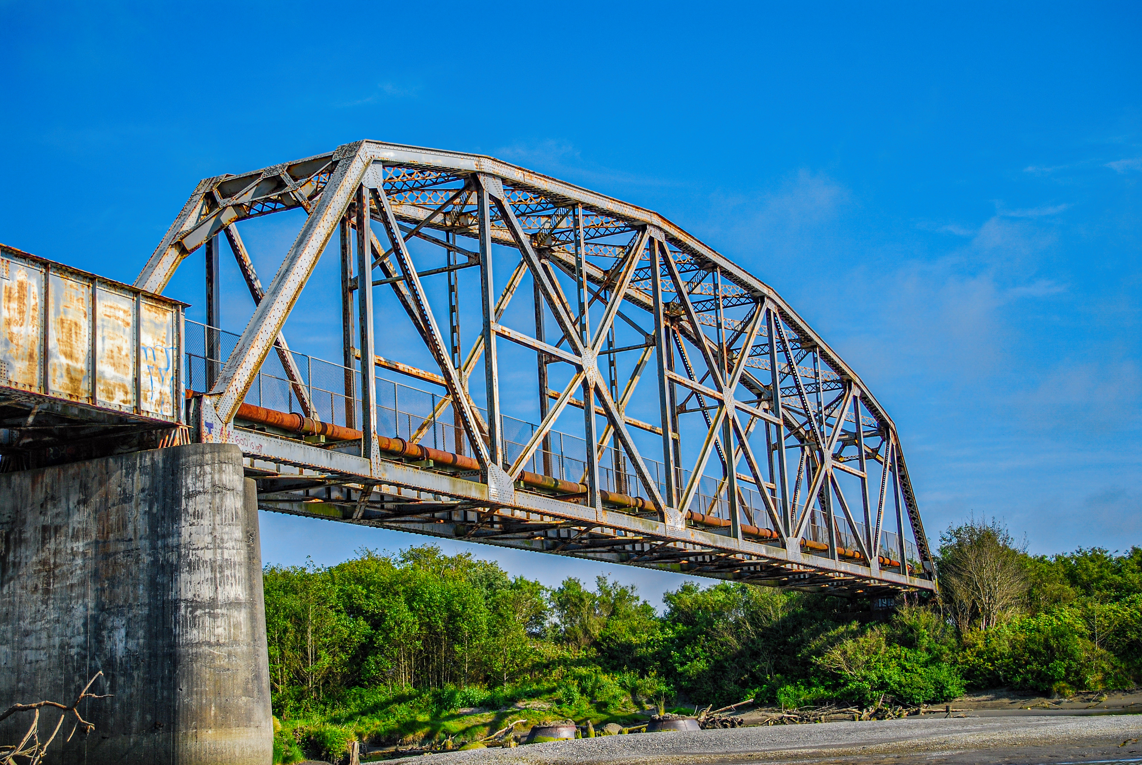
The Hammond Bridge, spanning the Mad River between McKinleyville and the Arcata Bottom since 1941. In this view, you can see the unused wastewater pipeline that was added to the bridge, I believe, in the 1980s.
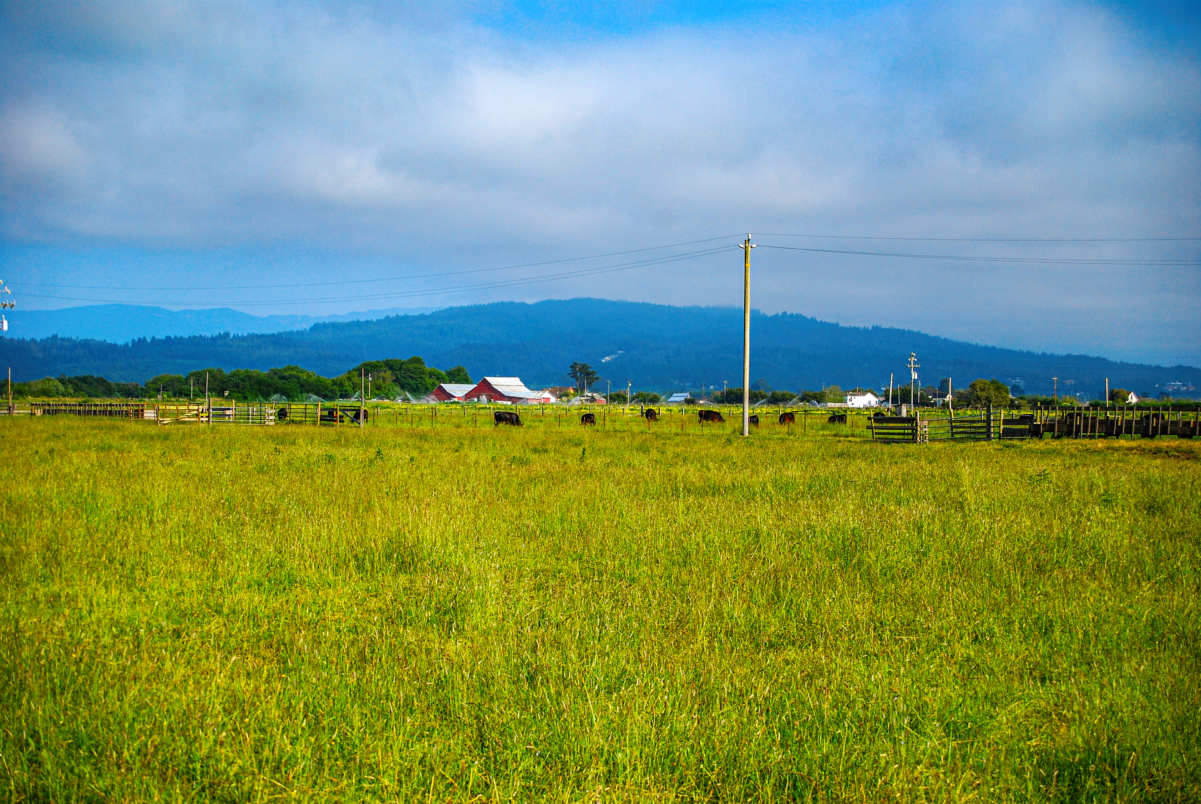
Ranchland in the Arcata Bottom near McKinleyville, California.
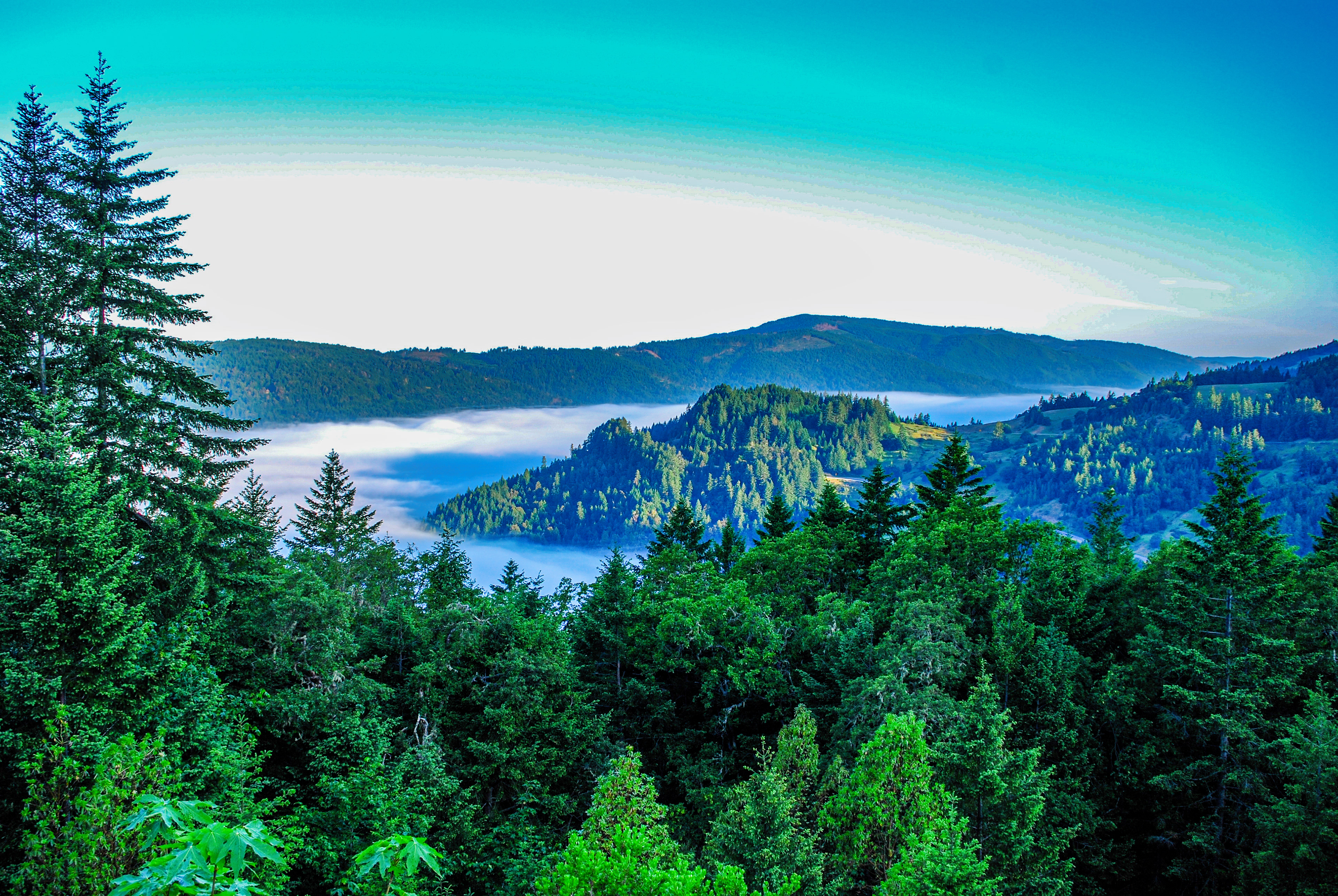
Driving east on California Highway 299, it doesn't take long before you have climbed up from the coastal plain and can look down at the fog in the valleys below.
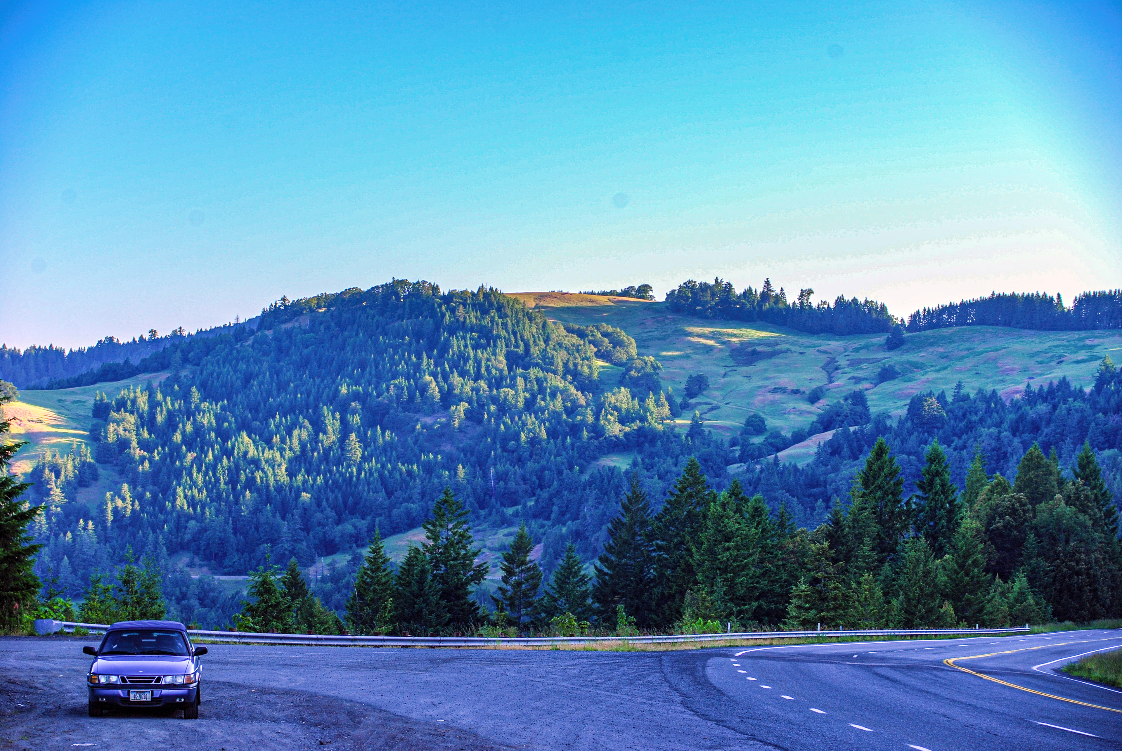
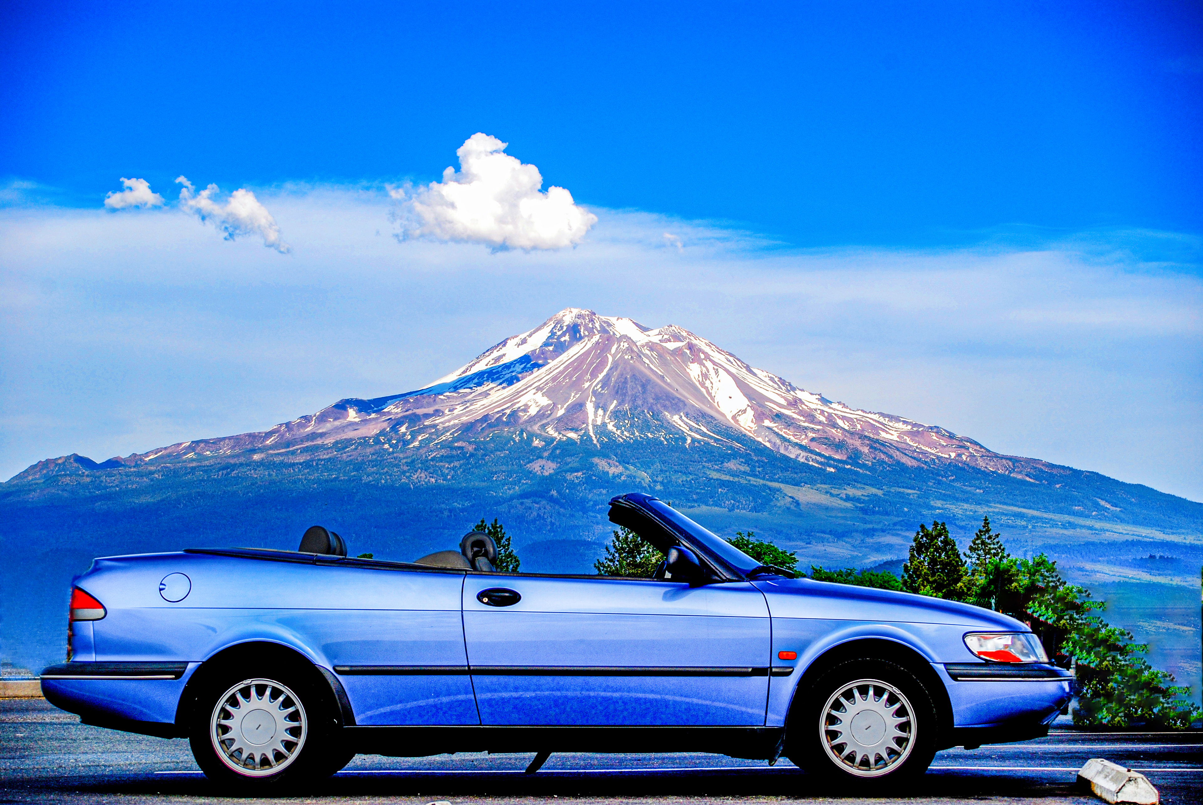
Still climbing away from the coast, and the top is up, as you can see.
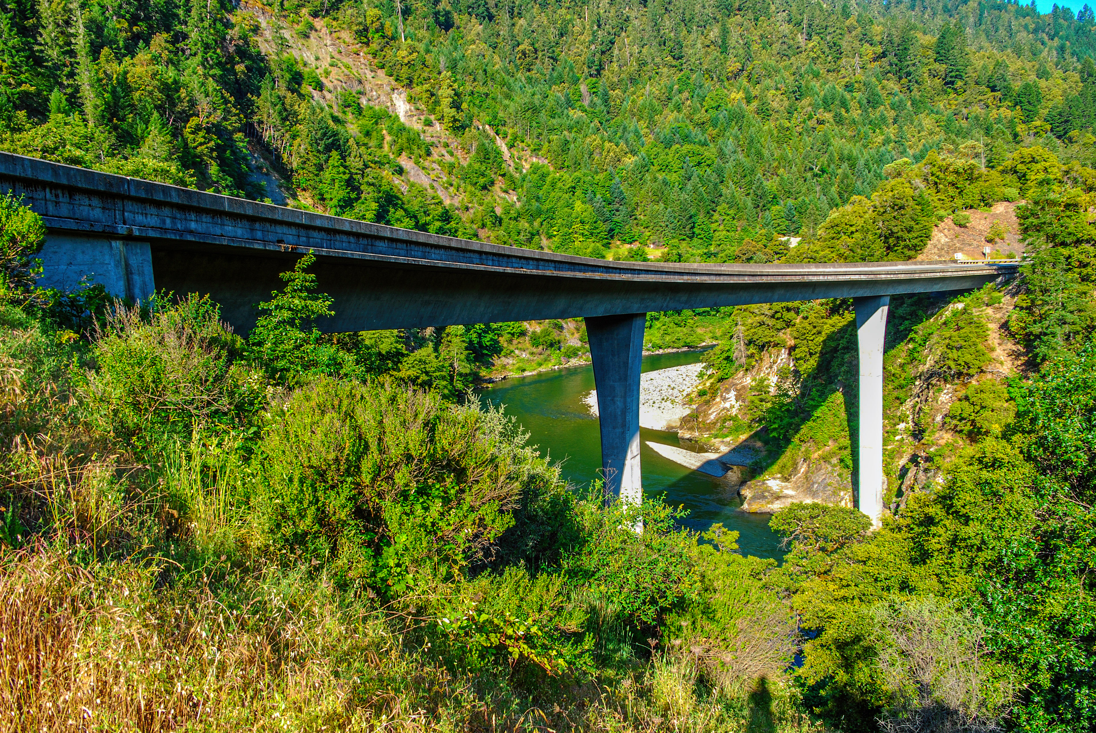
California Highway 299 crossing the South Fork of the Trinity River (I think).
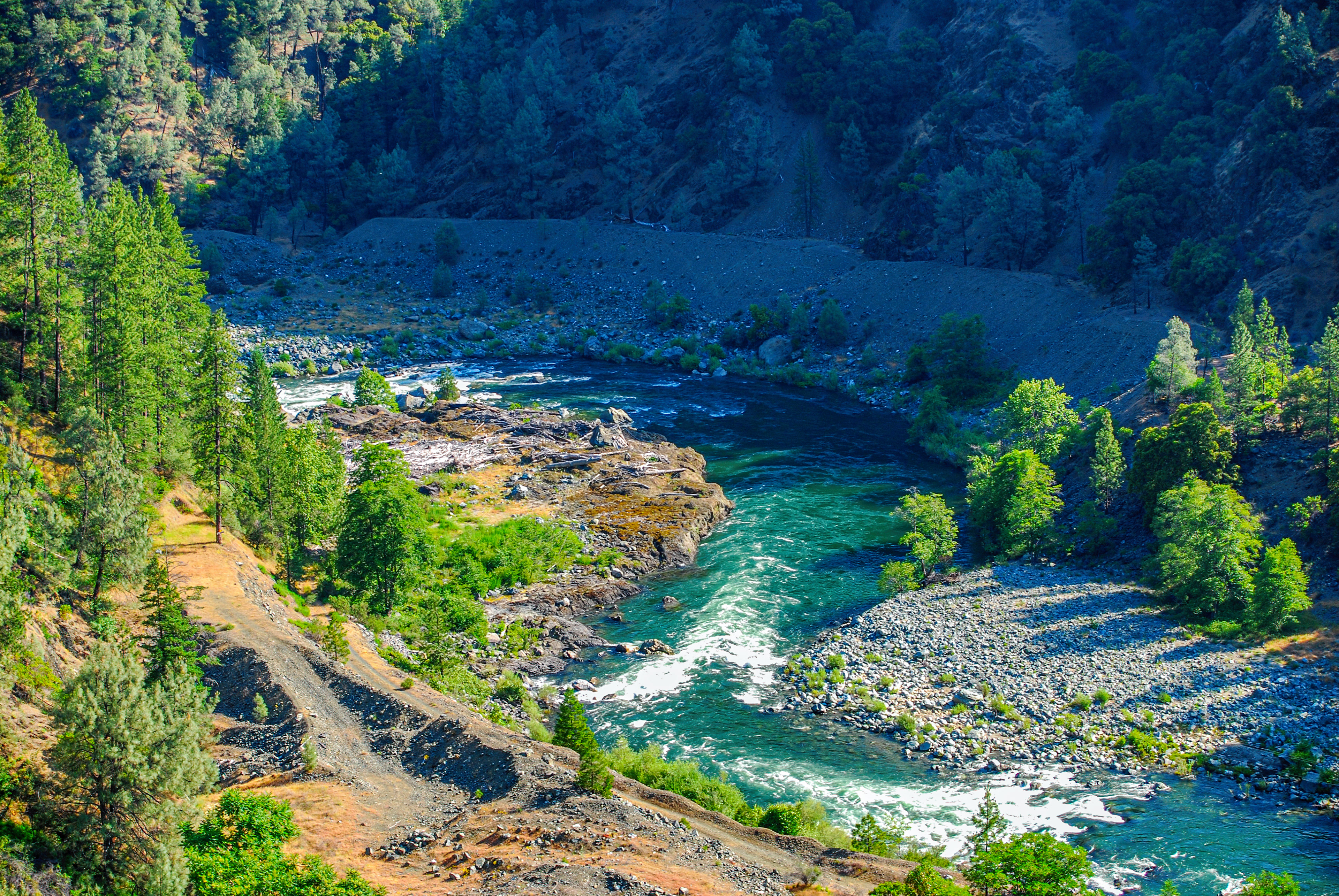
South Fork, Trinity River, near Willow Creek, California
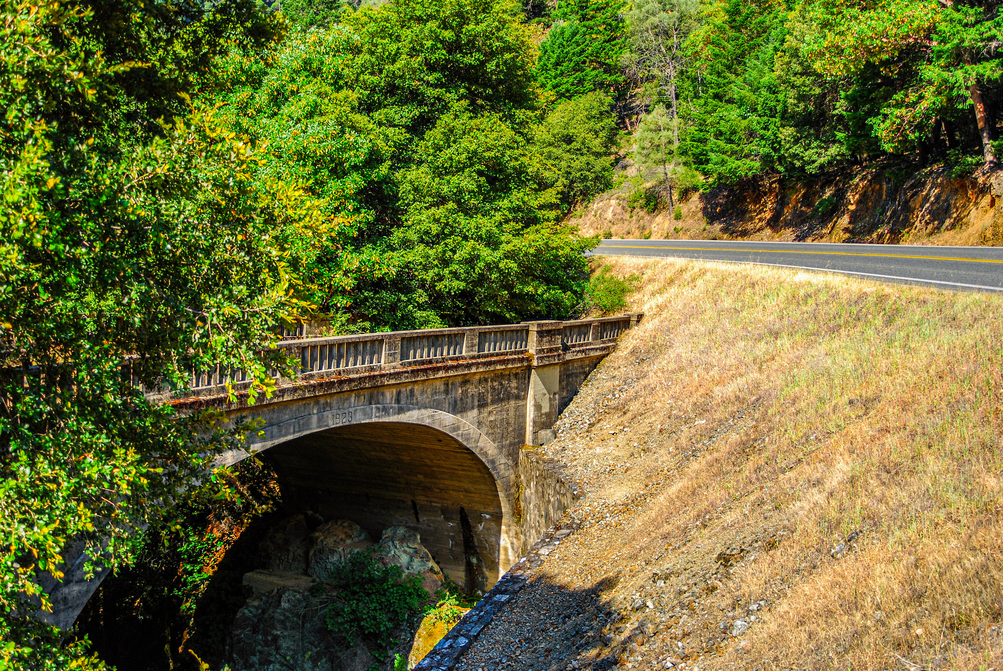
The old Swede Creek Bridge, built 1923
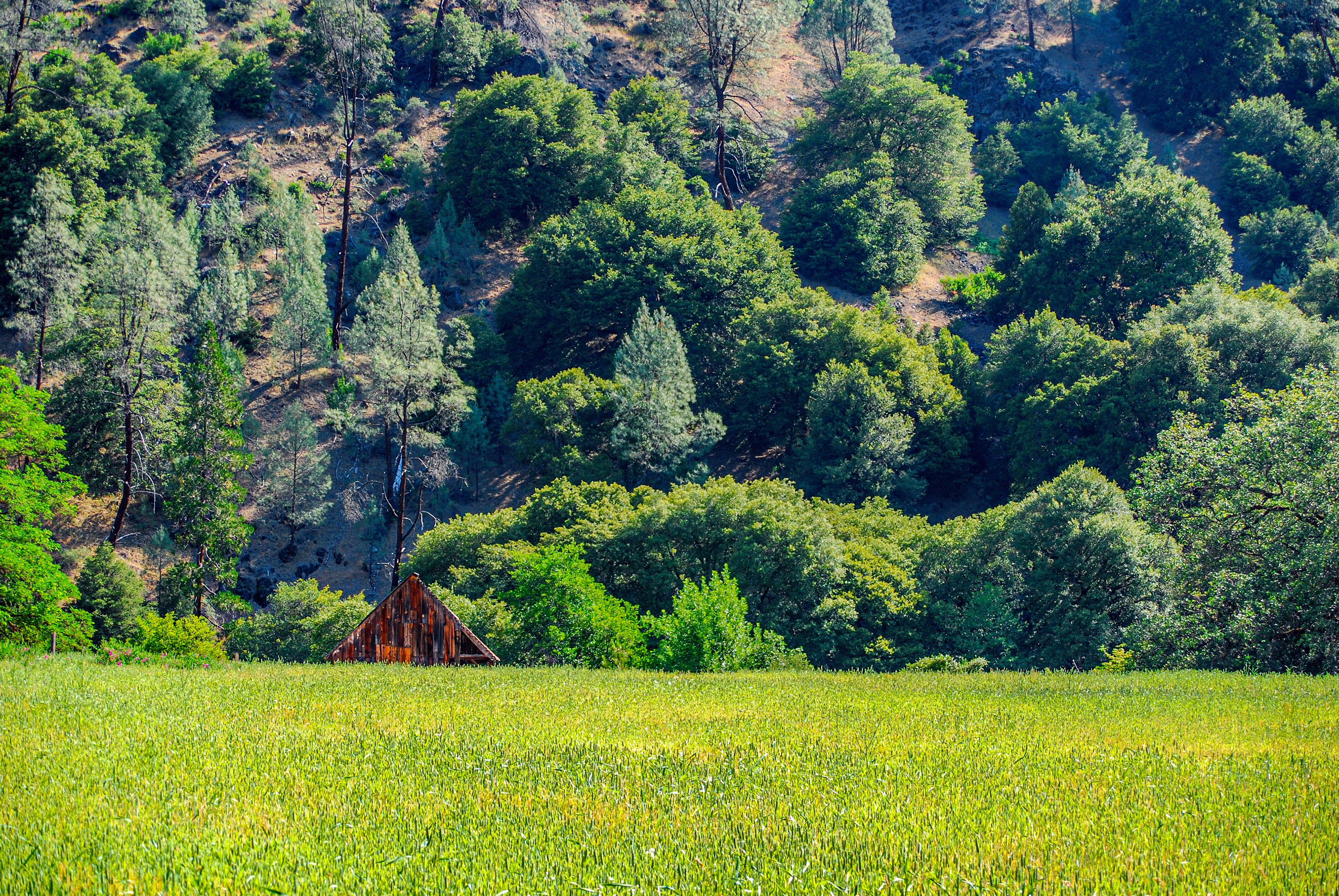
An old Trinity County farm
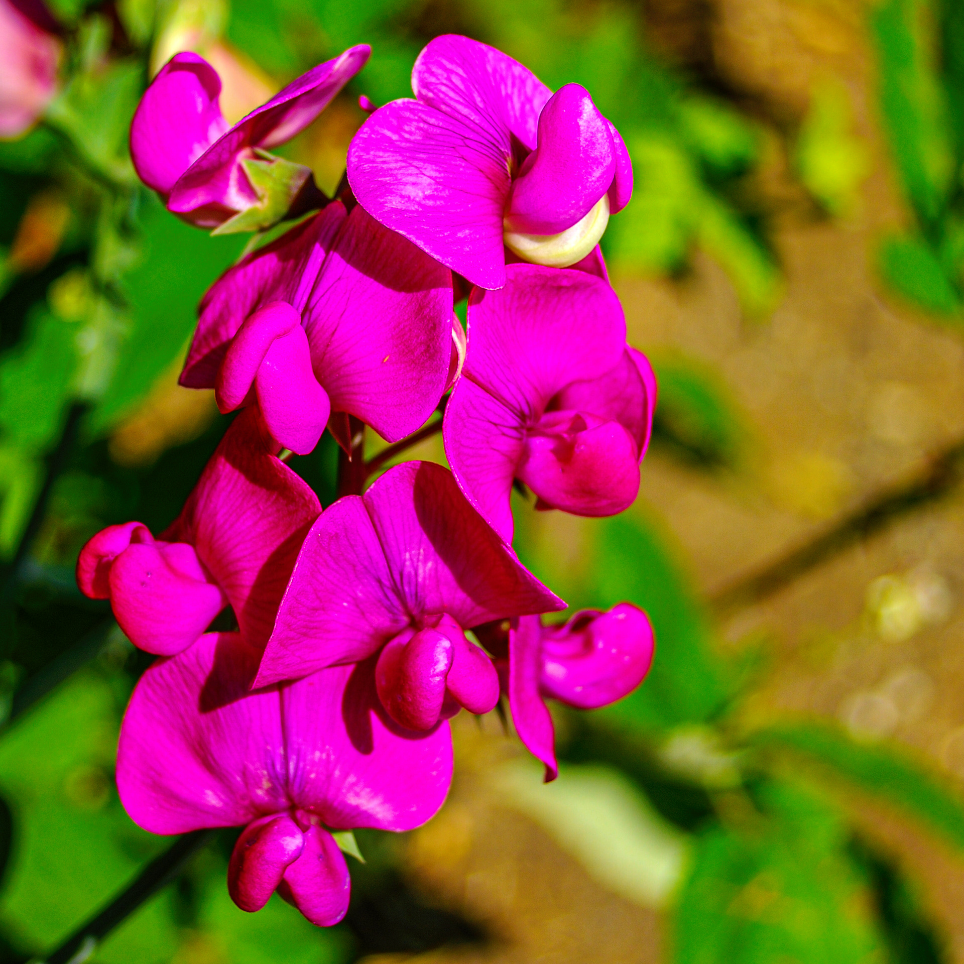
Sweet Pea growing wild in the Ghost Town of Helena, California
The Helena Post Office was opened in 1891 at which time the original names of Bagdad and North Fork were changed to honor Helena Meckel. The town's origins predate the 1850s when white miners first moved into the area. Native people had lived here for thousands of years. Until California Highway 299 was built to connect Redding in the Central Valley with Eureka on the Pacific Coast, Helena was the end of the line. But 299 bypassed the town by a few miles, and Helena died. Today, ruined buildings and some beautiful flowers remain to show what was once a thriving mining town.
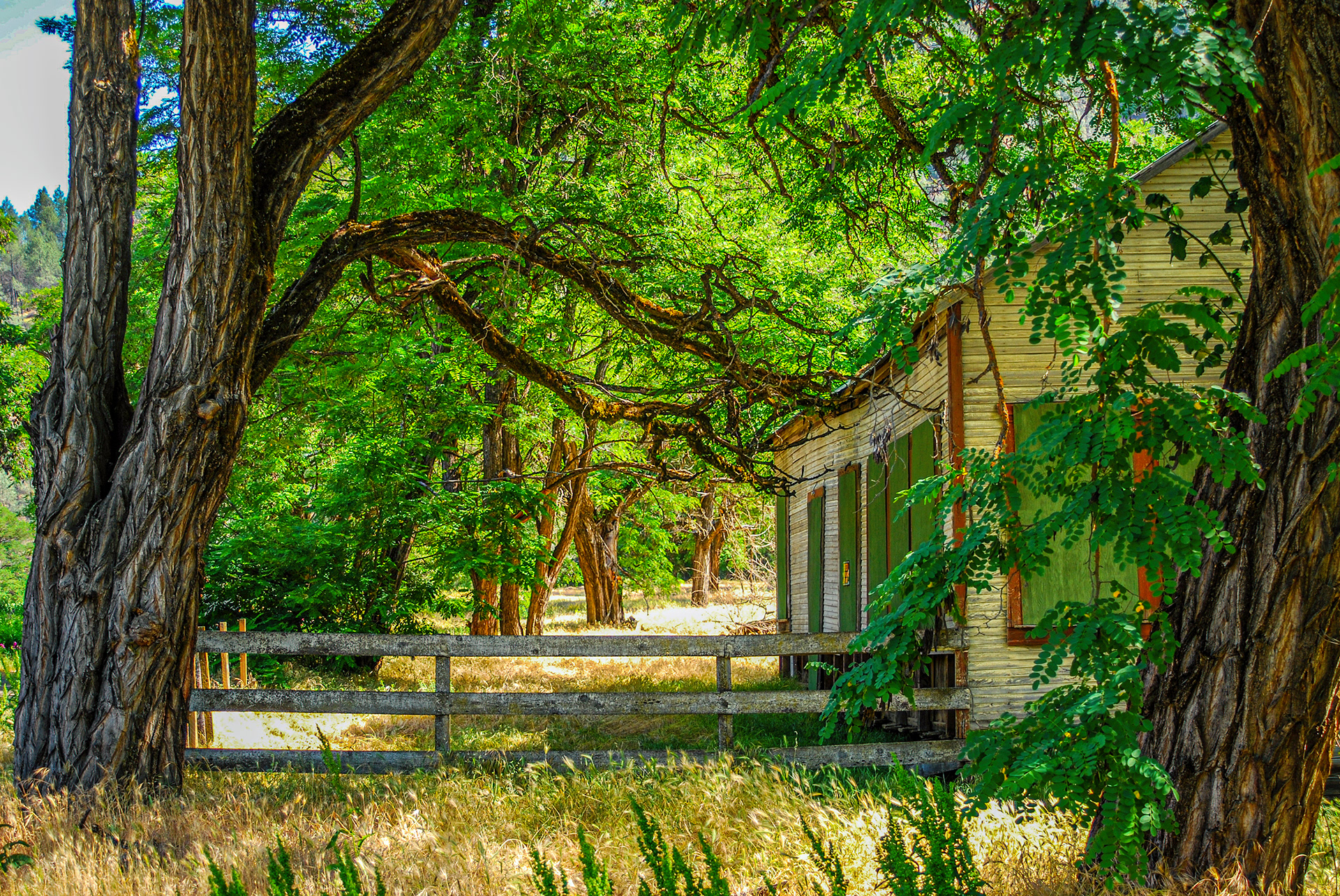
An abandonned home in the ghost town of Helena, California
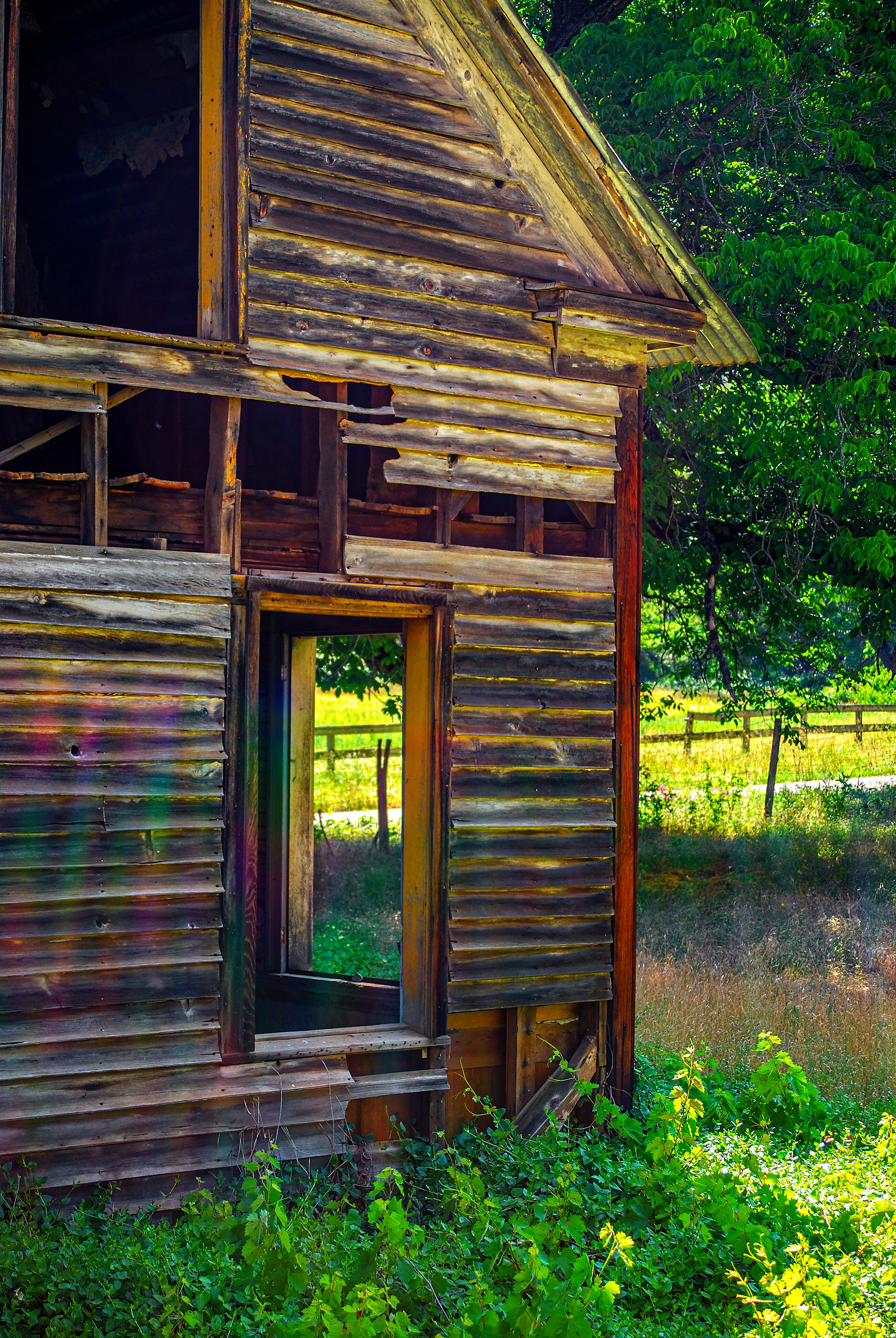
Another abandonned home in Helena,California. I would love to use those windows as frames for portrait photography. Anyone care to model for me?
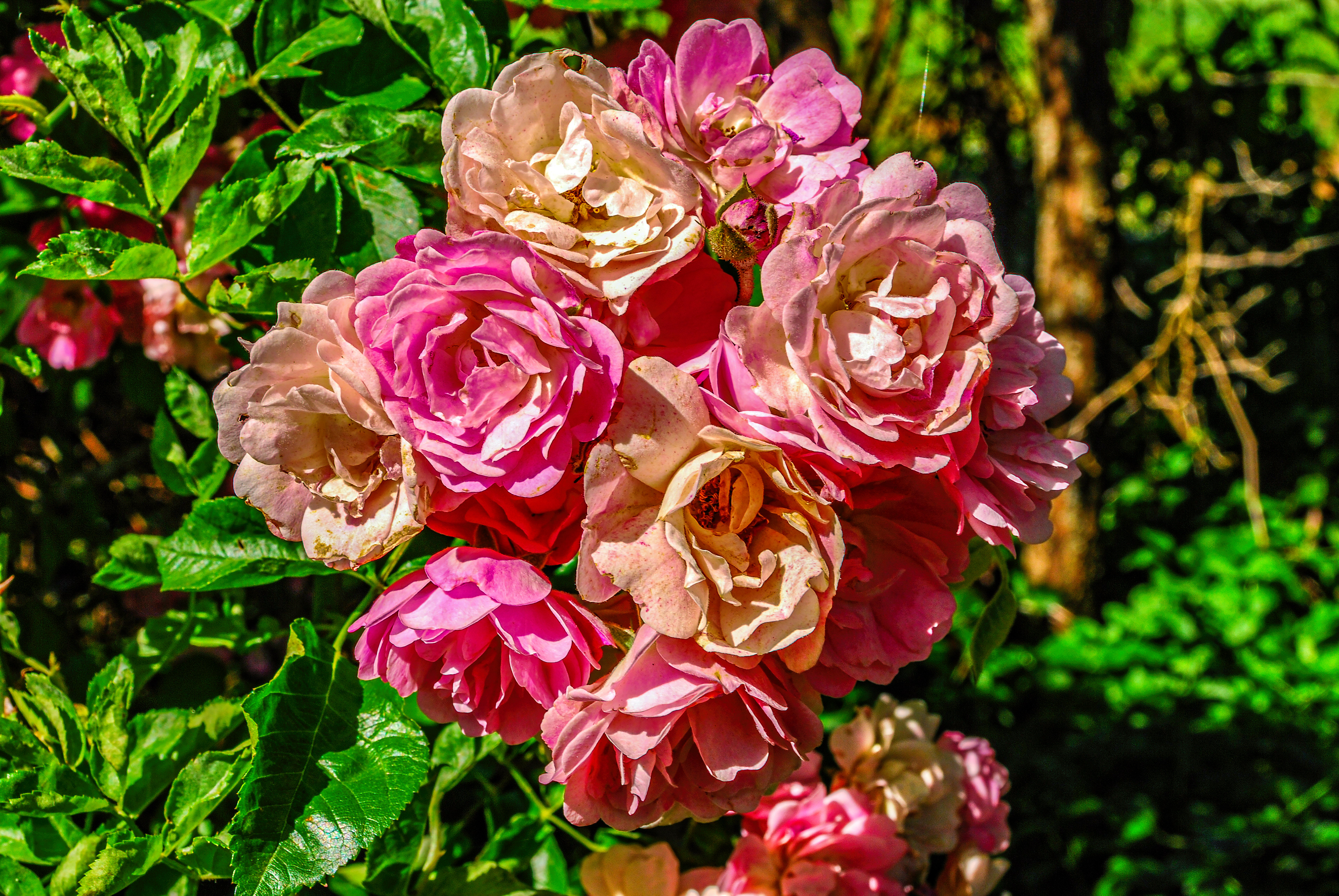
The roses continue to bloom in the ghost town of Helena, California
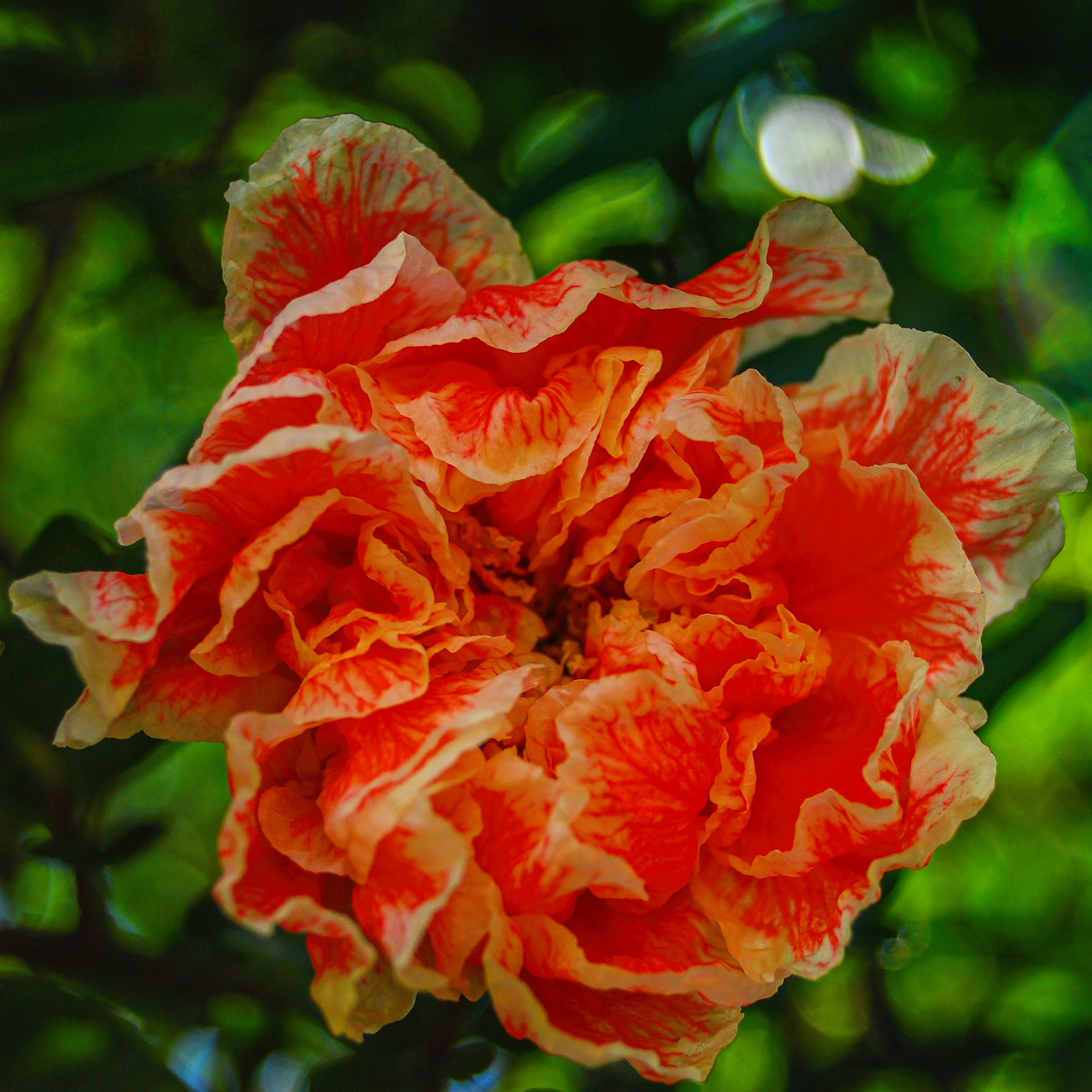
I have no idea whatsoever what this flower is, but on June 1st, 2007, there was a tree covered with them in the ghost town of Helena, California.
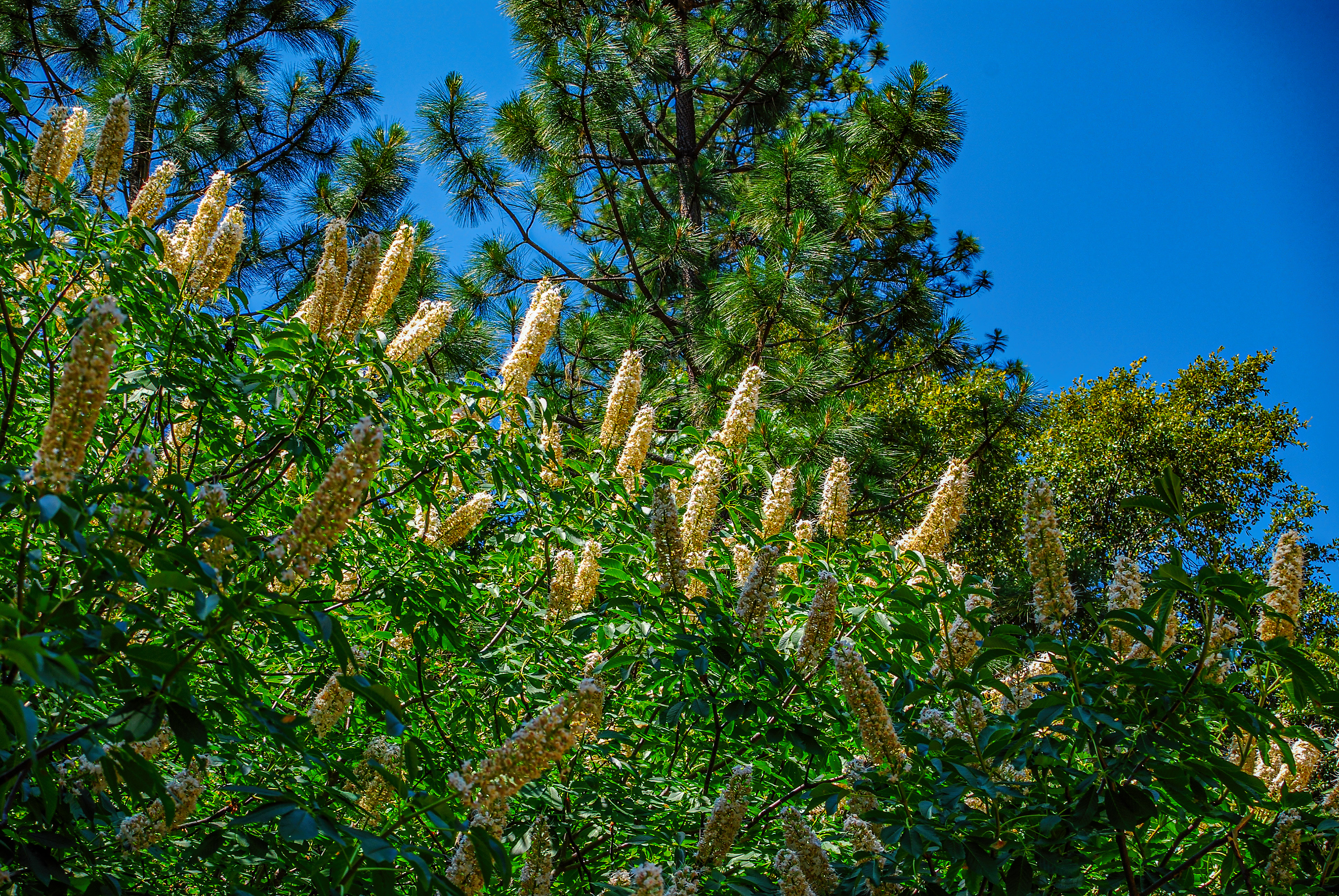
One more shot of flowers growing wild in the ghost town of Helena, California
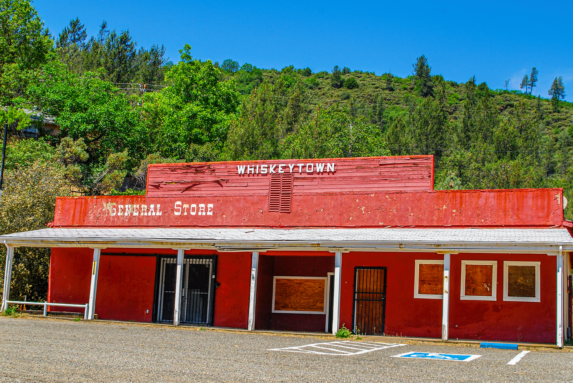
The mining camp of Whiskeytown was flooded when the Whiskeytown Dam was built in 1962. The General Store (now closed, obviously) and a few homes are all that remain of what used to be a town of over 1,000.
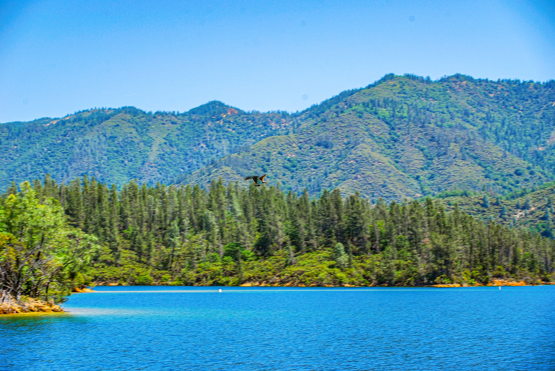
A raptor and his lunch flying above the waters of Whiskeytown Lake.
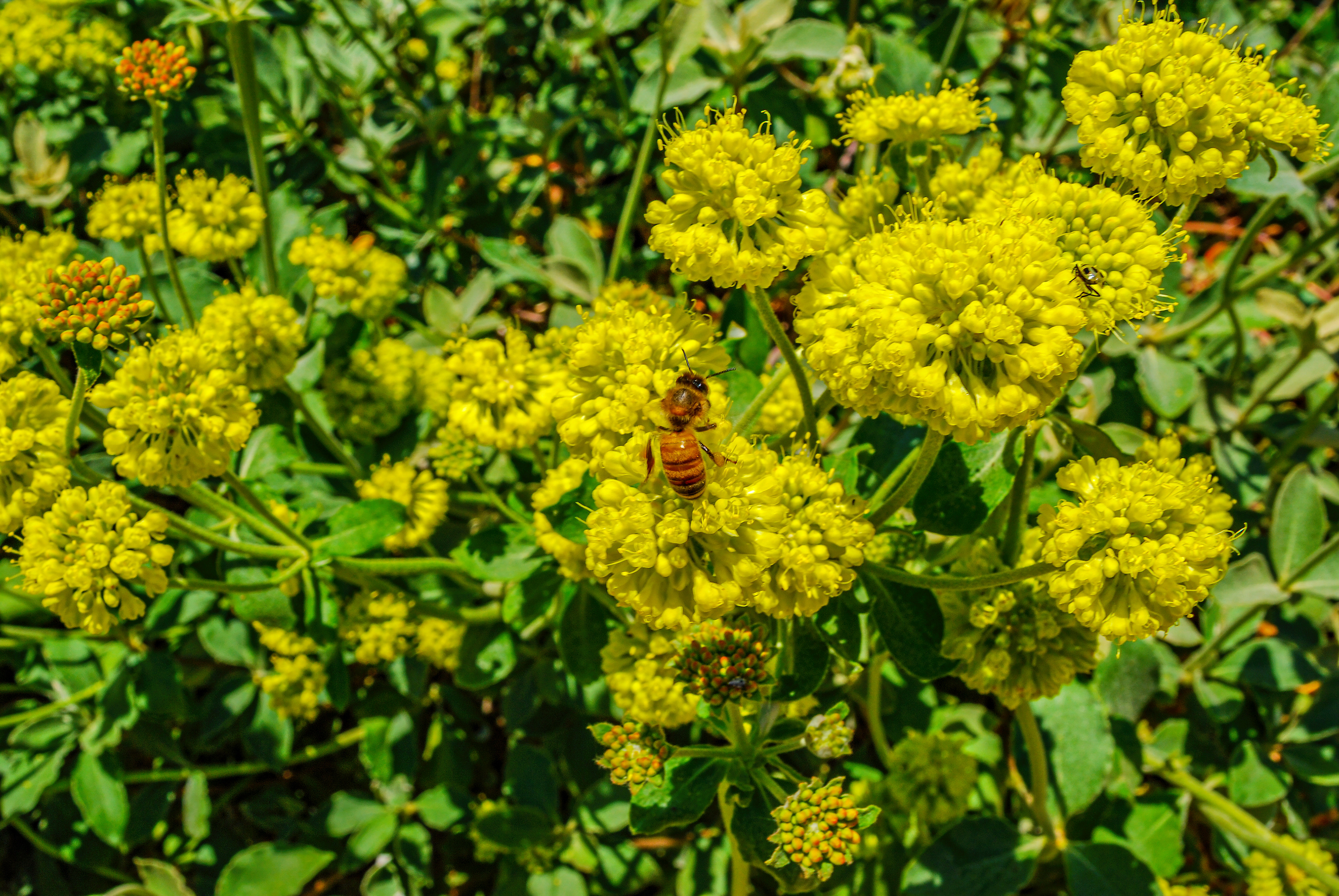
A bee and a spider at work outside the Visitors' Center, Whiskeytown National Recreation Area
Whiskeytown Reservoir from the Visitors' Center Parking Lot
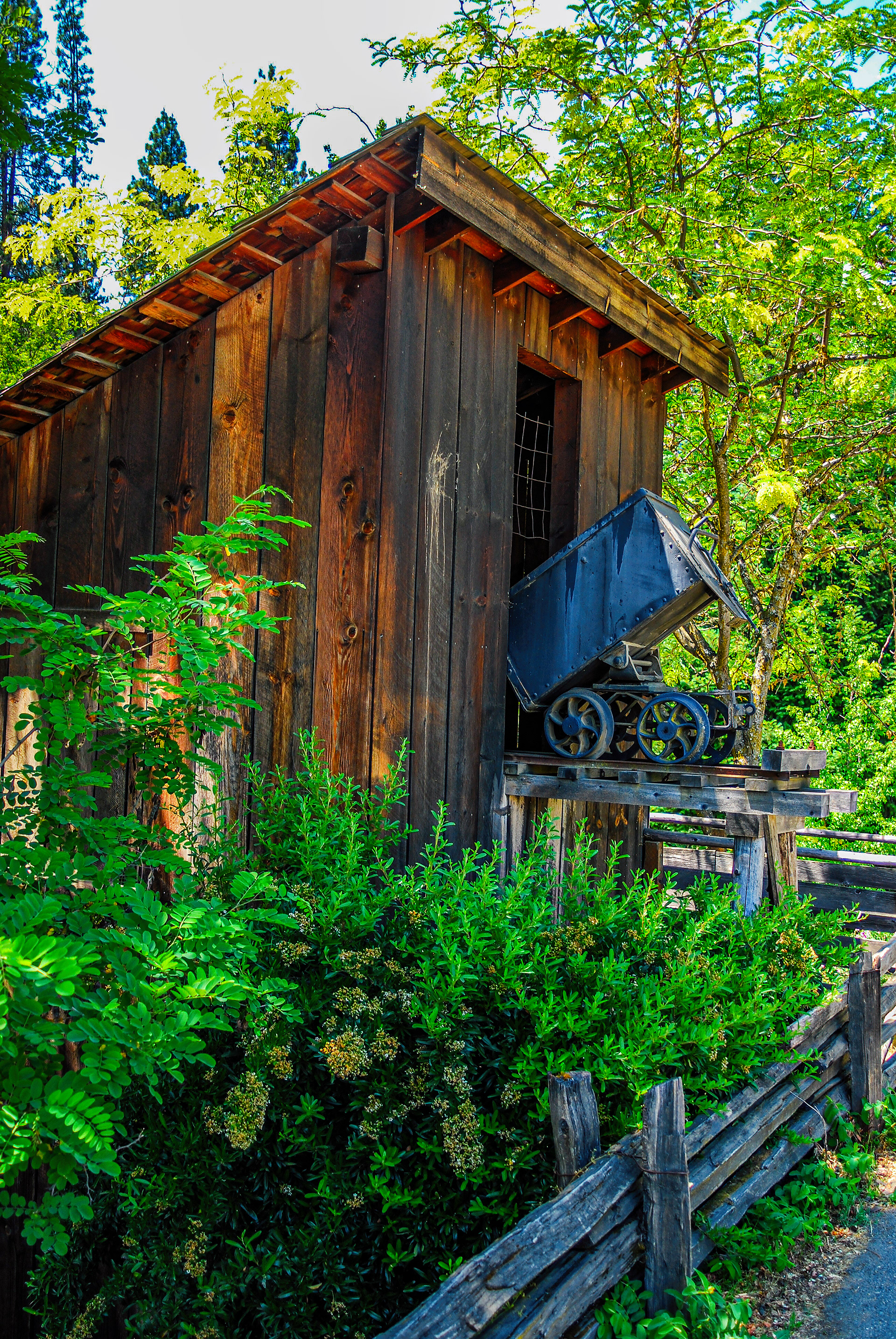
A reminder of Weaverville's mining heritage
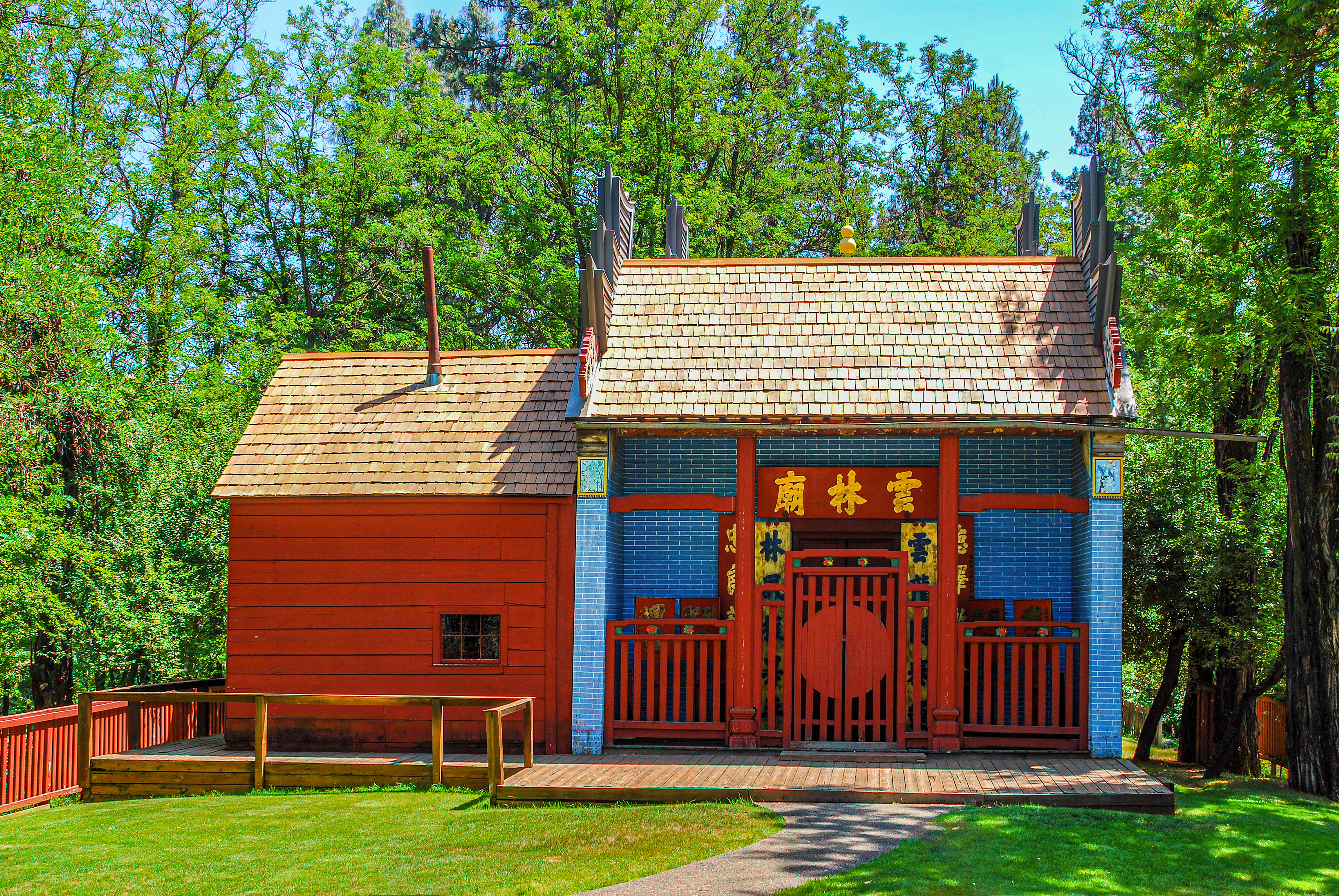
The Weaverville Joss House, not only a State Historic Park but the oldest, still functioning Taoist Temple in California.
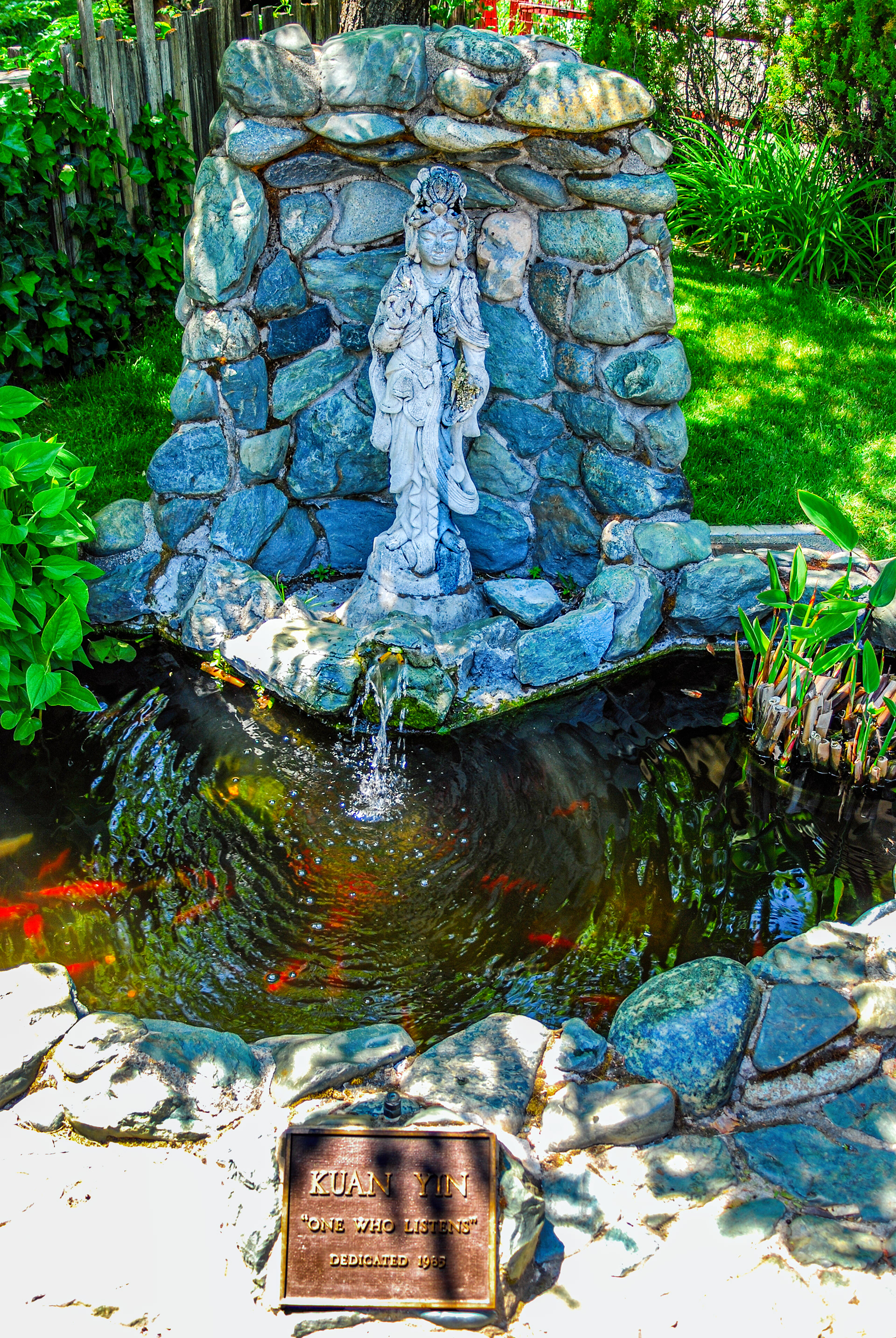
Kuan Yin, the Goddess of Compassion, a statue at the Weaverville Joss House. Kuan Yin is a shortened form of Kuan-shi Yin which has been translated as "Observing the Sounds (or Cries) of the (human) World," or as the plaque says, "One Who Listens."
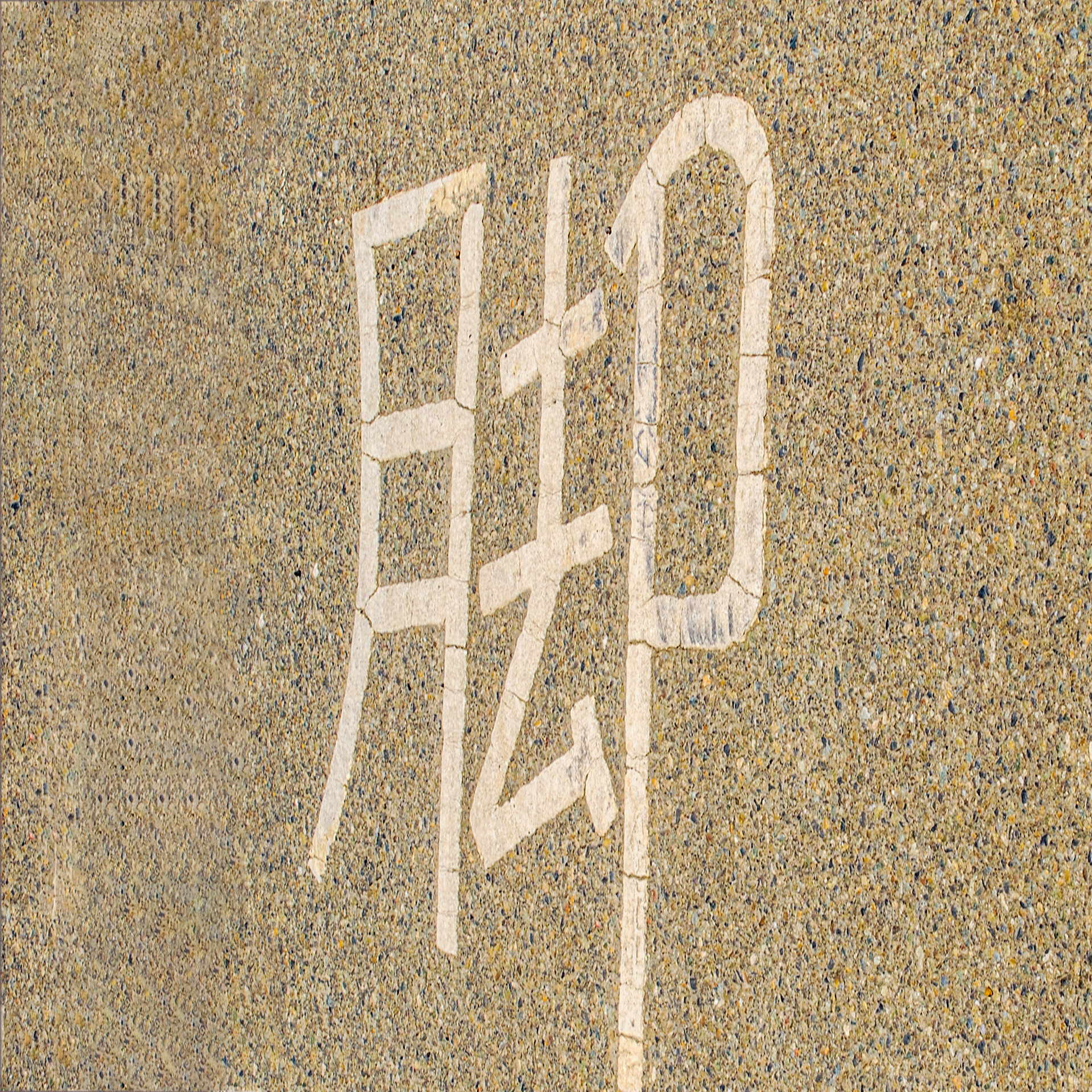
My Chinese isn't strong enough to read (or translate) what this says. But it was painted in the west-bound lane of California Highway 299 in downtown Weaverville, California.
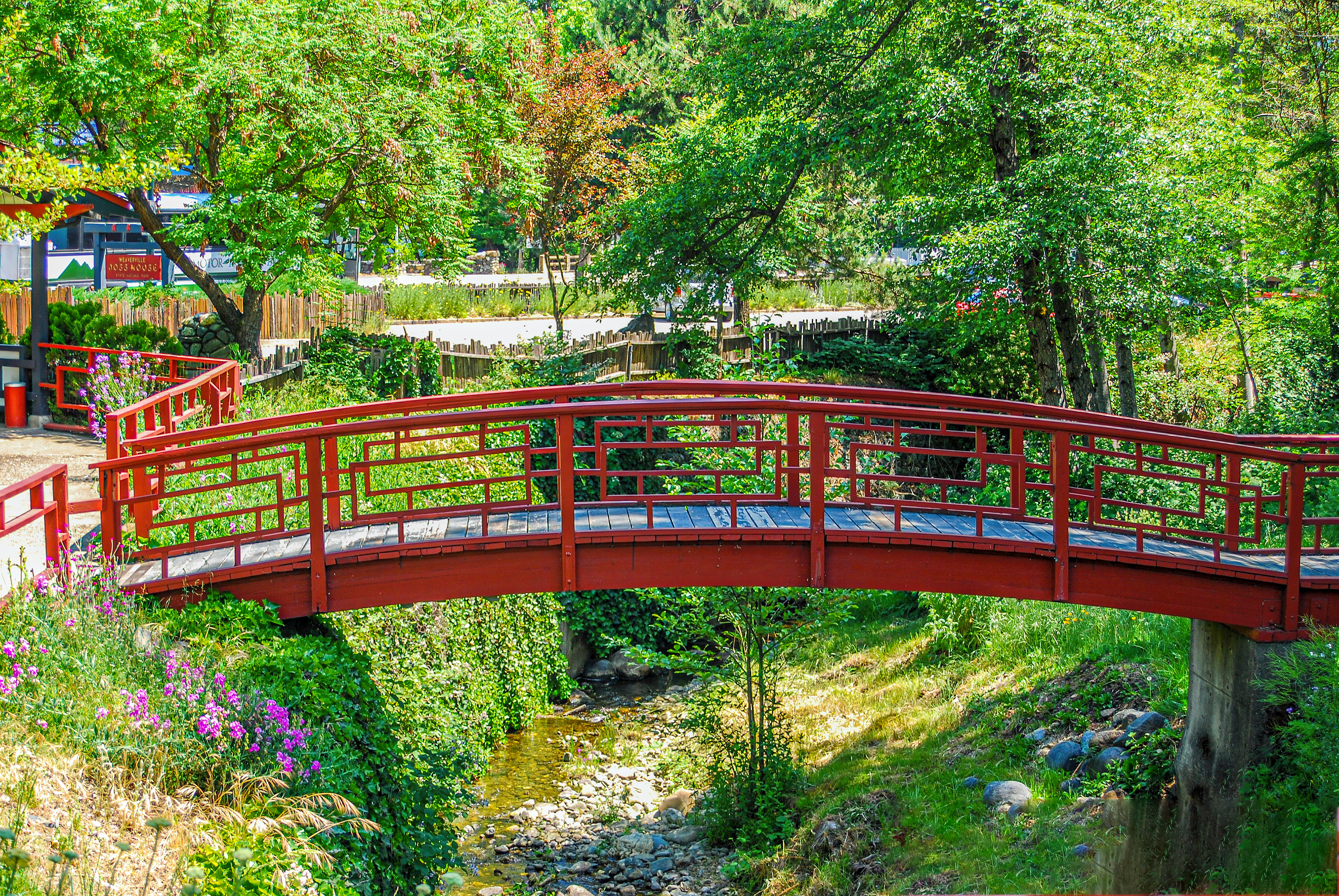
Bridge on the grounds of the Weaverville Joss House.
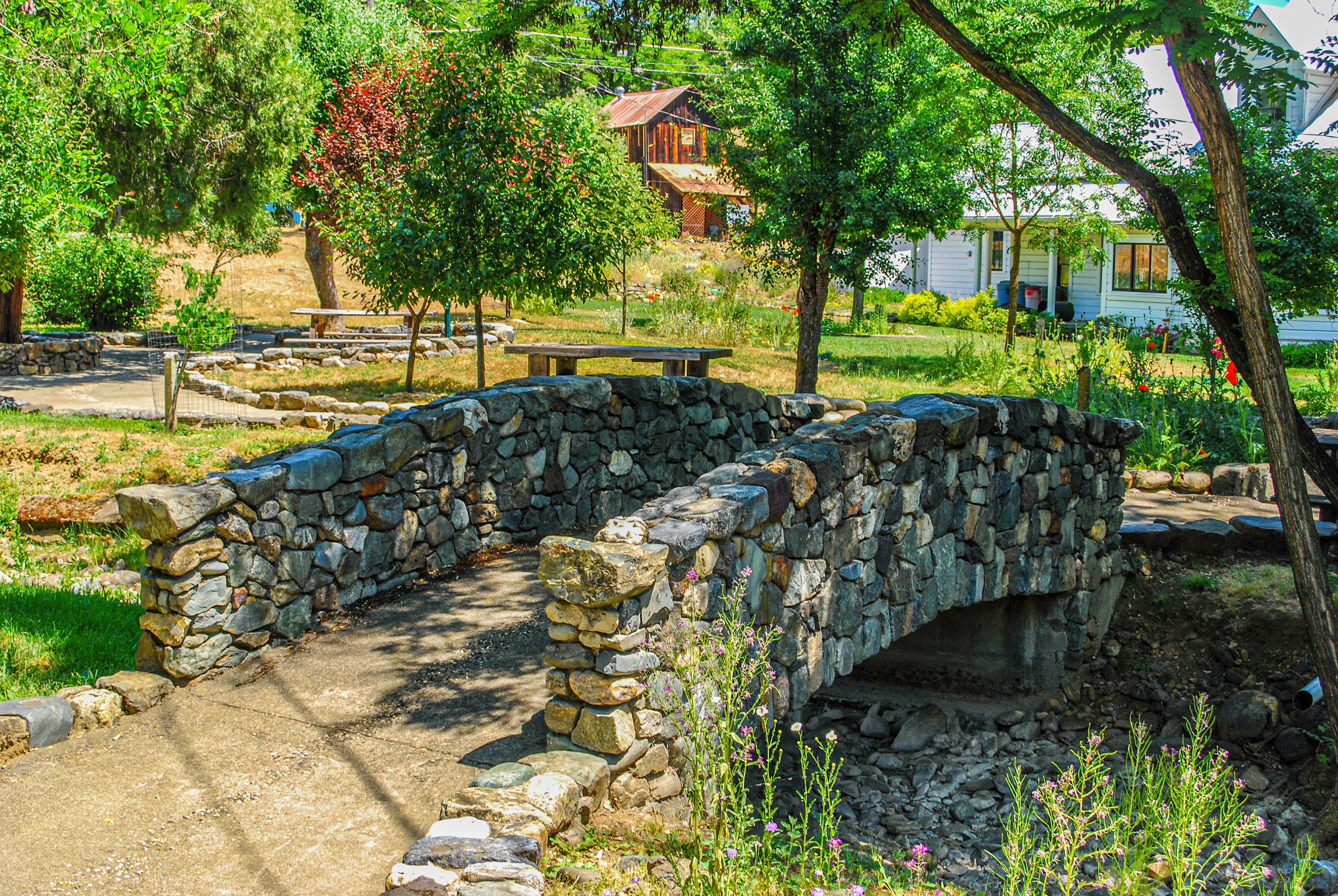
An inviting garden, downtown Weaverville, California
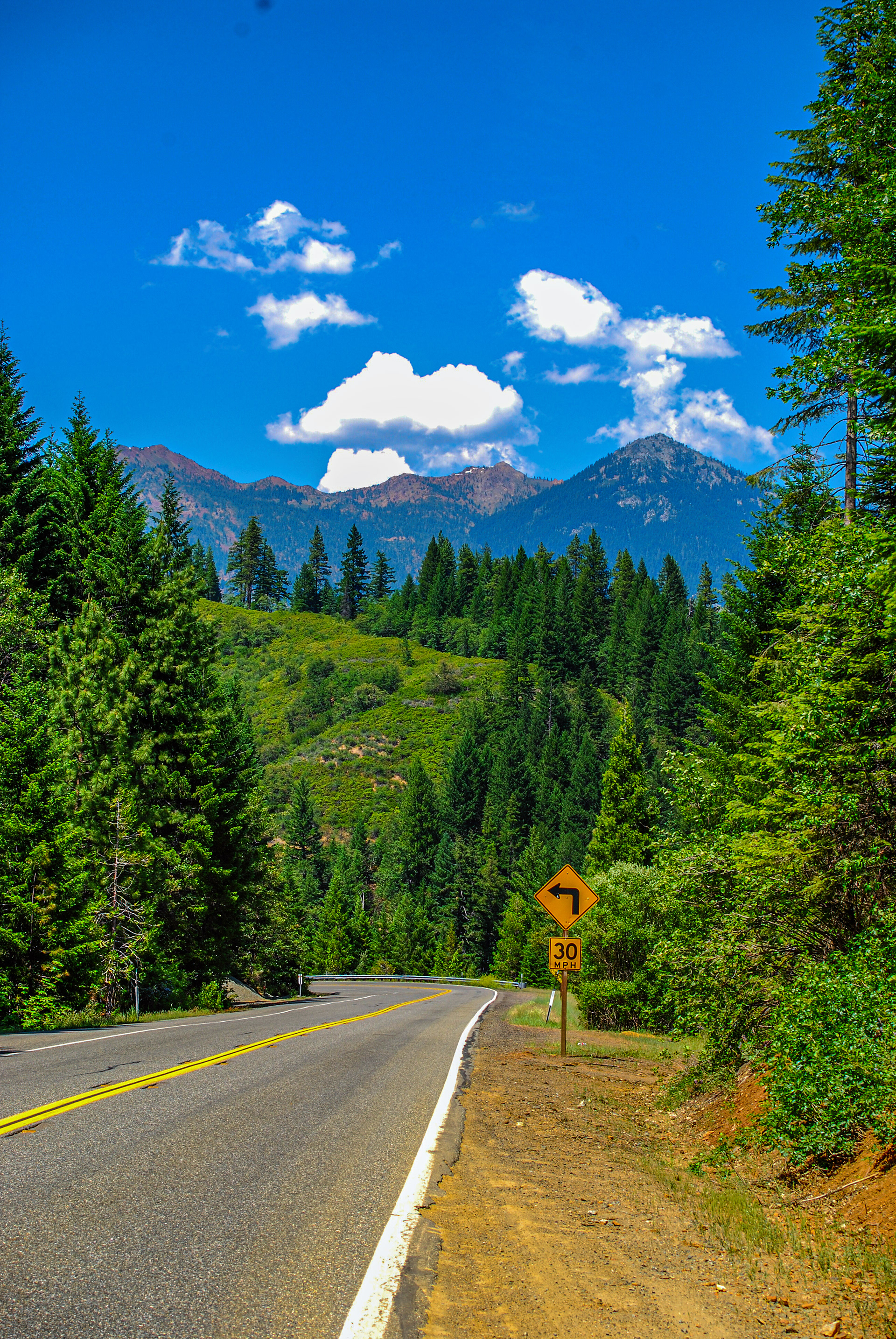
Heading north on California Highway 3 into the Trinity Alps
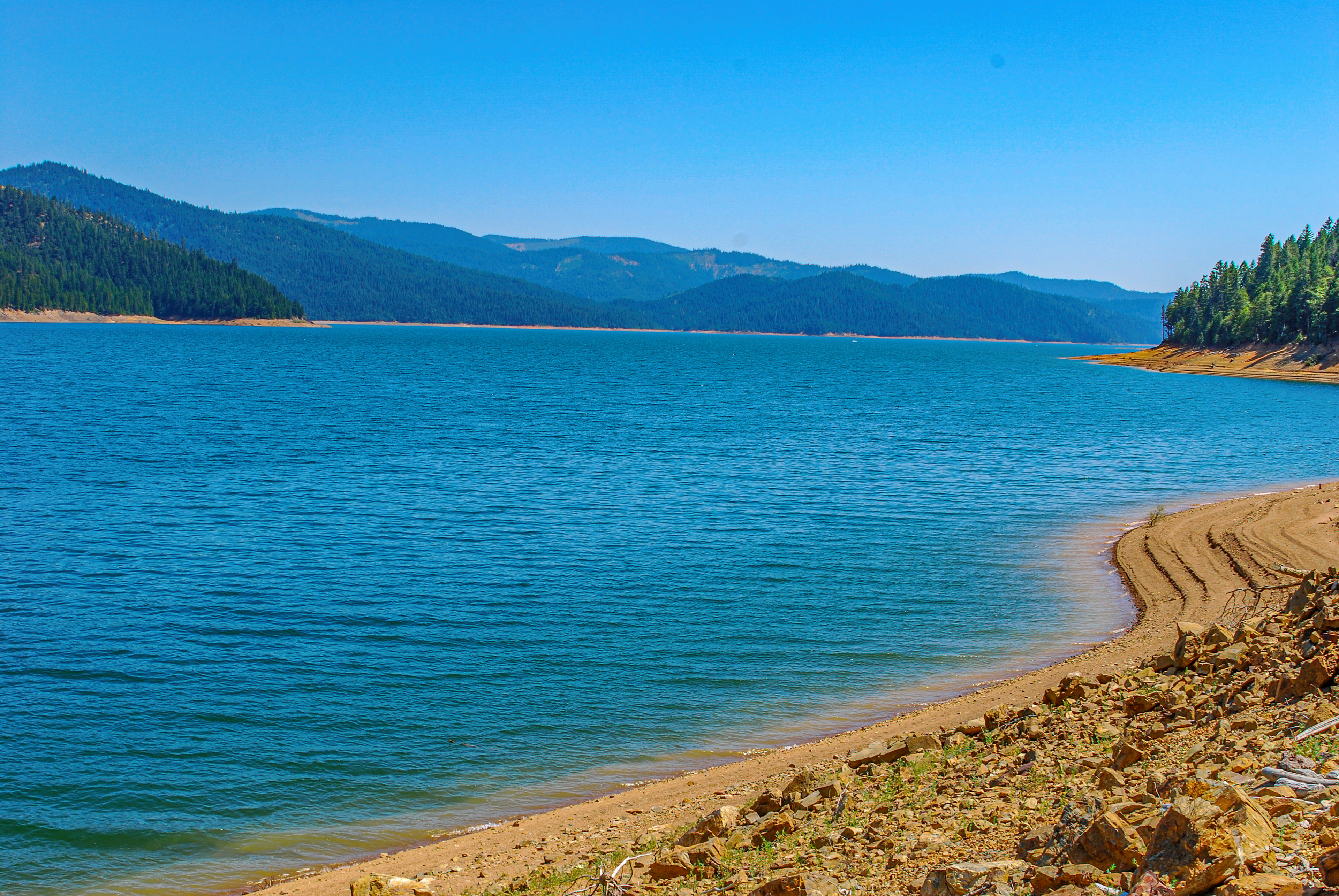
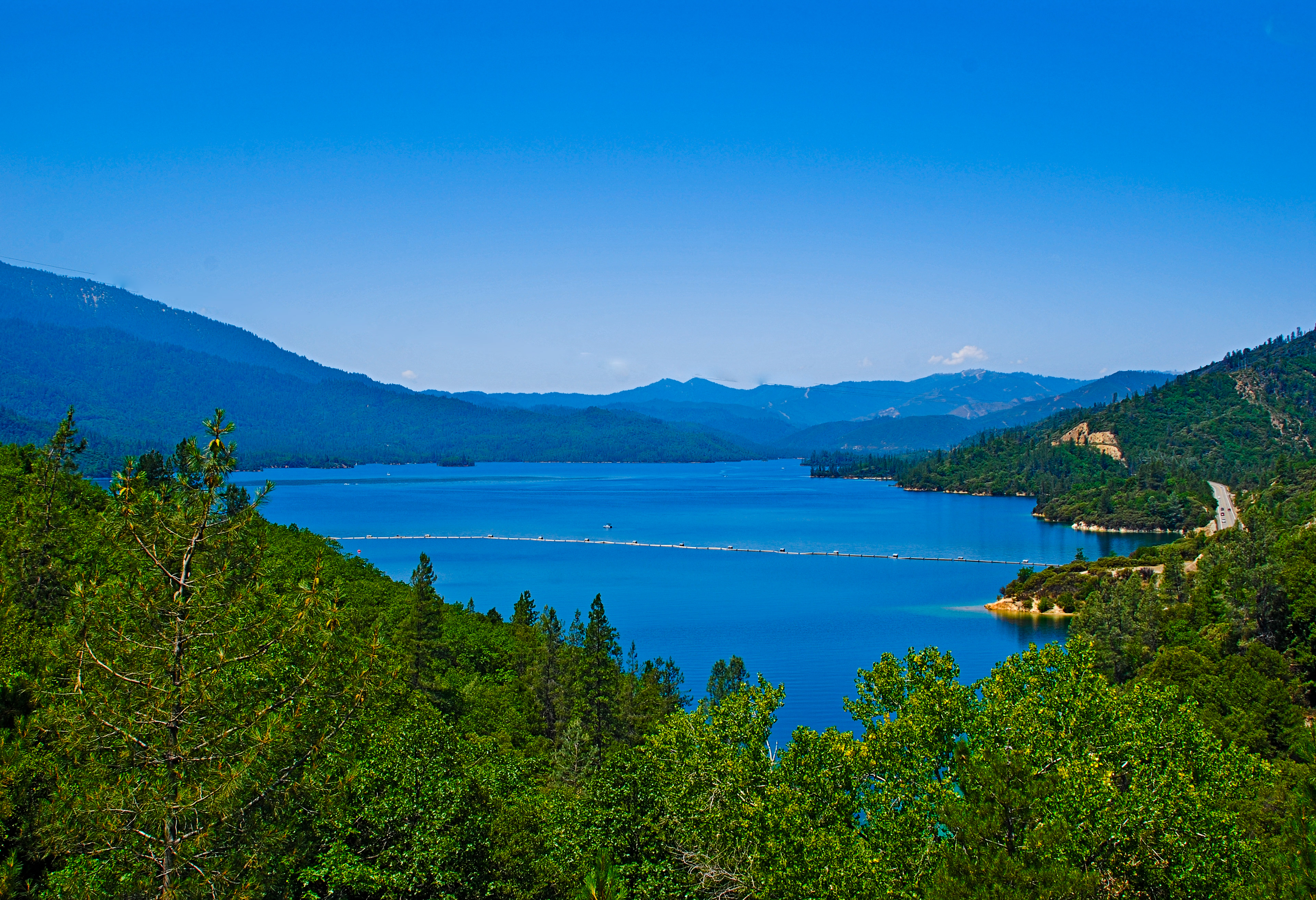
The third largest reservoir in California, Trinity Lake is formed by the waters of the Trinity River, backed up behind Trinity Dam.
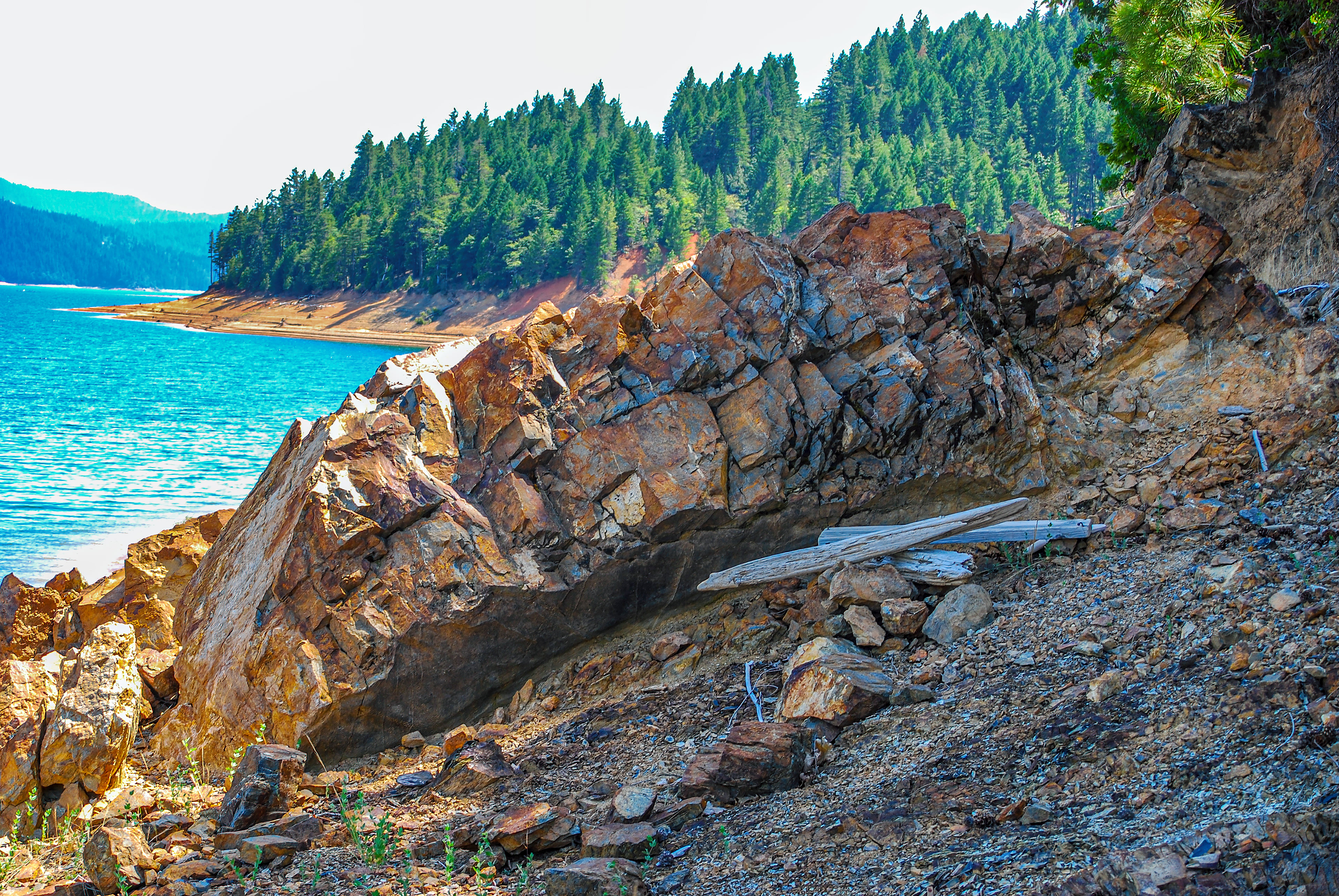
Primal elements--water, air, stone, earth, wood--combine in this one cove of Trinity Lake.
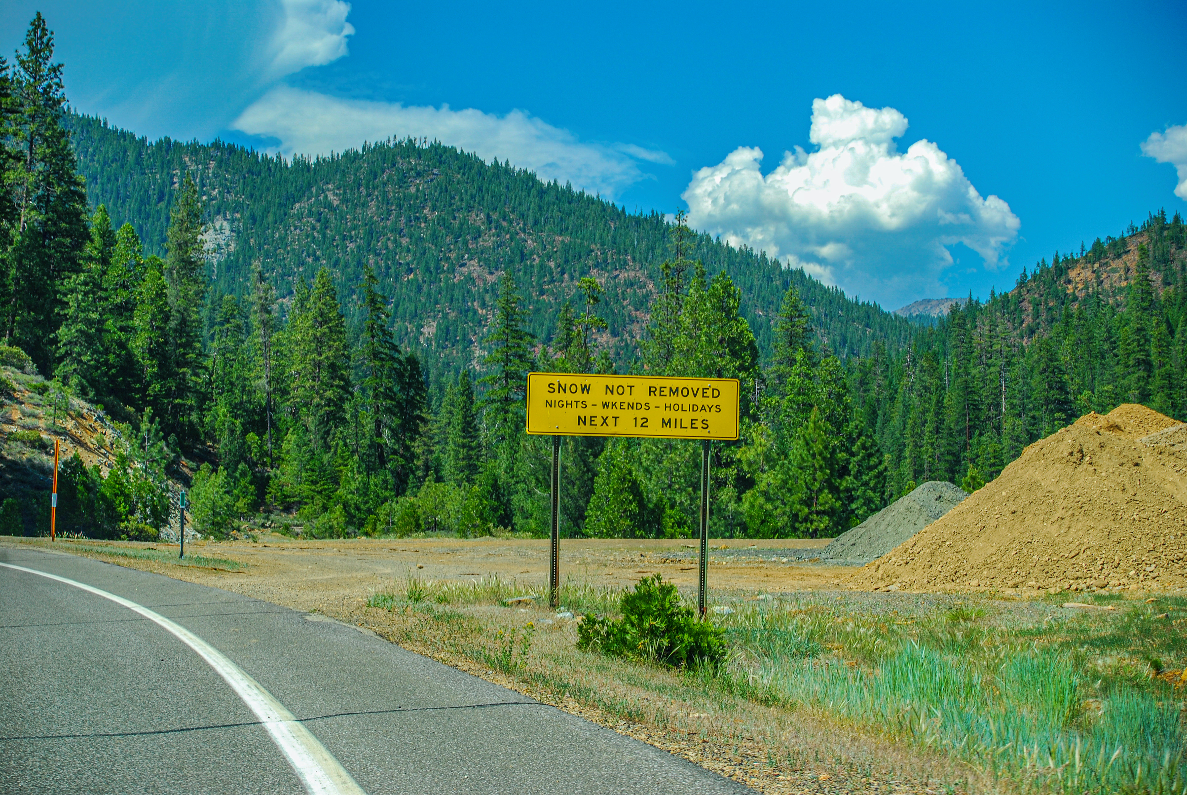
You have been warned! (Of course, on June 1st, I don't think there's a problem)
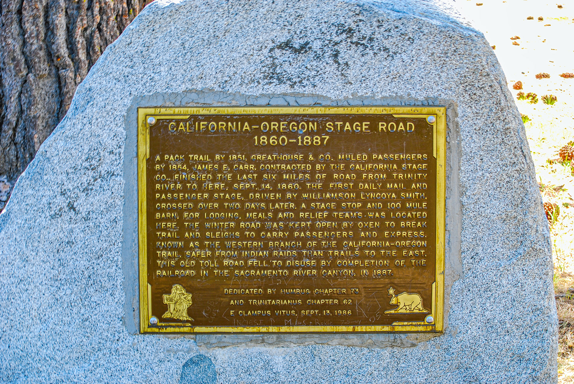
And now begins the descent. The next picture shows the historic plaque barely visible in the center of this photo. I thought I had photographed some of the places where I could not see the highway because it was so steep, all I could see was the hood of my Saab. Guess I was keeping my mind on the road, and not the camera.
I can't imagine traveling this route without a road. They were better men than I.
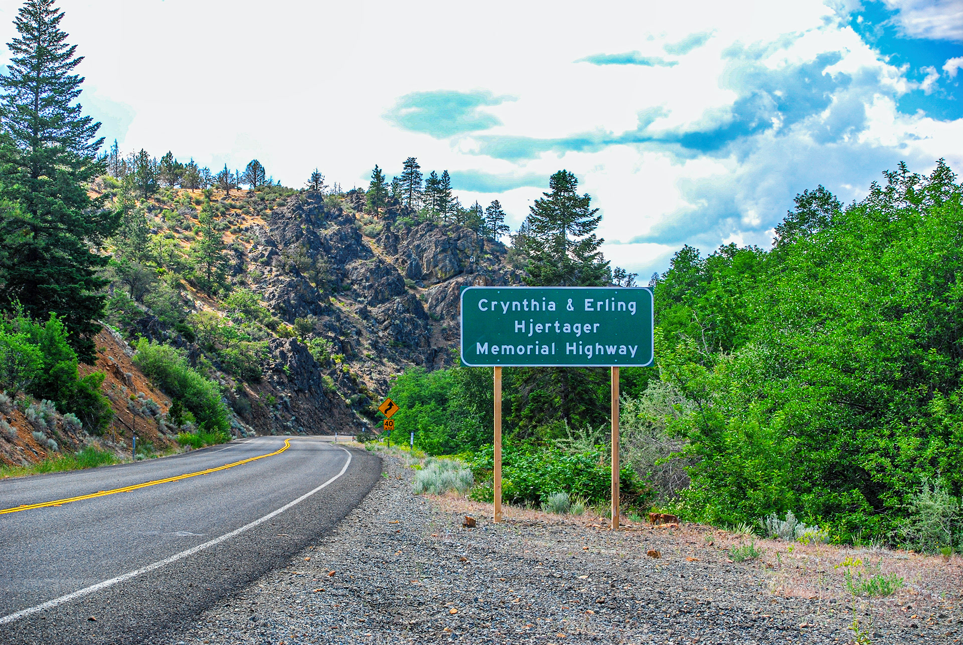
Crynthia? Really? Isn't Hjertager bad enough? Actually the Hjertagers owned a sawmill in the small town of Callahan, just down the road a piece. Still, I wouldn't want to have to learn to spell my name if I carried that moniker.
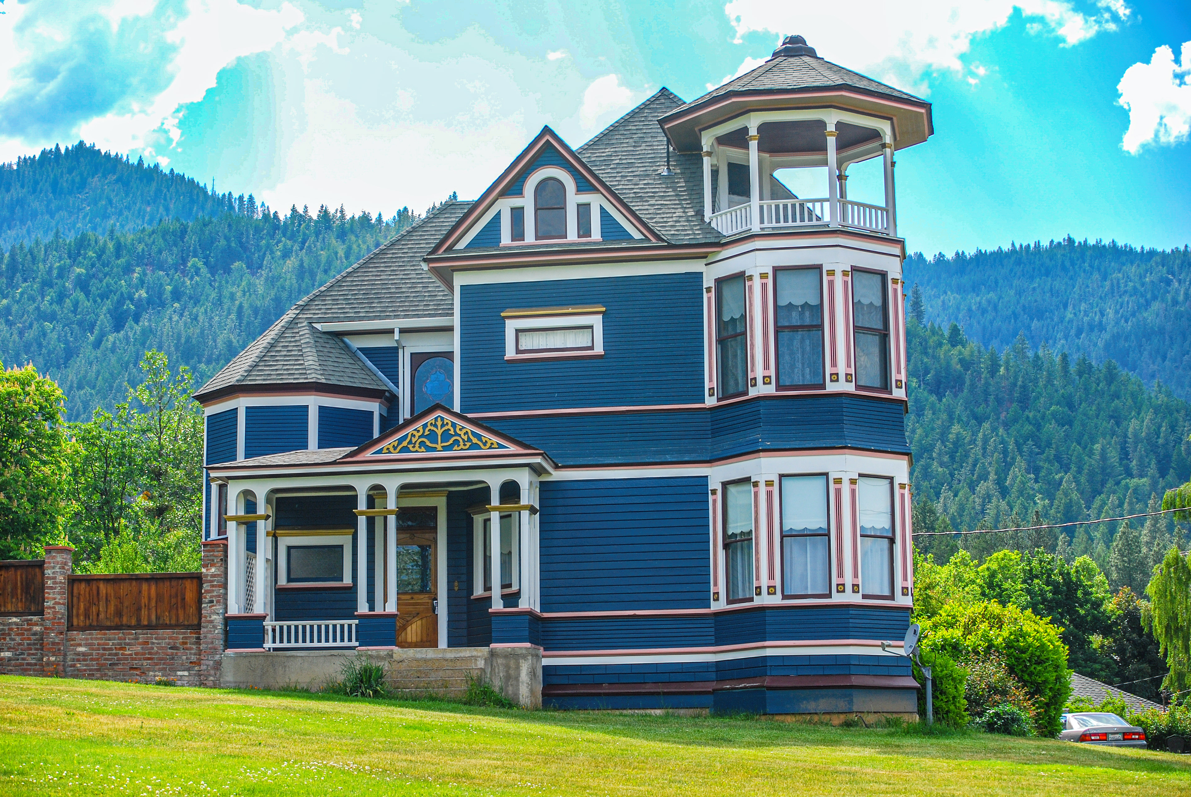
I have long been captivated by houses with turrets, and found this beauty in the Scott Valley town of Etna (originally Rough and Ready). Etna has been around since the 1870s at least.
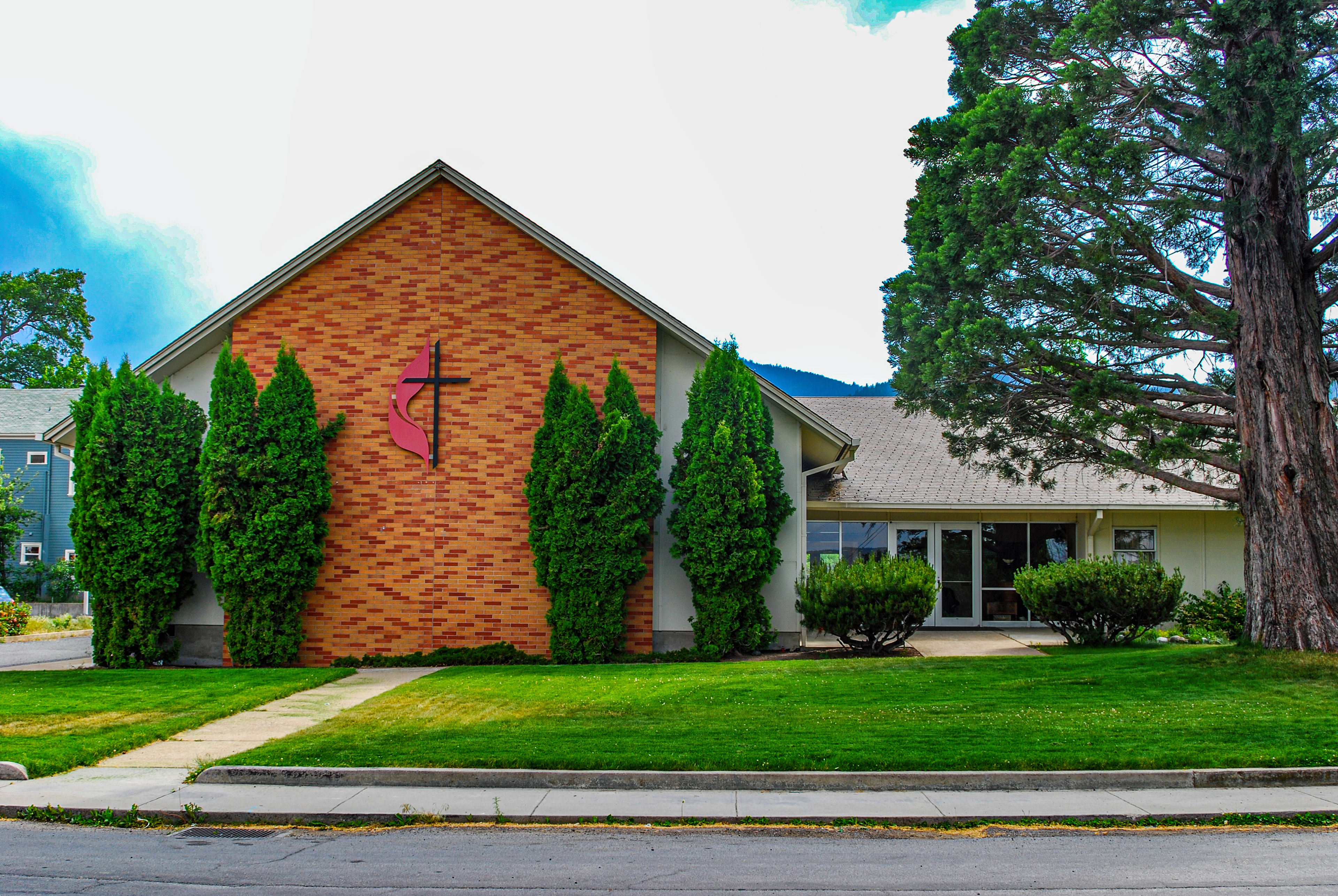
The Etna (California) United Methodist Church. It wouldn't be my posting if I didn't include a Methodist Church or two.
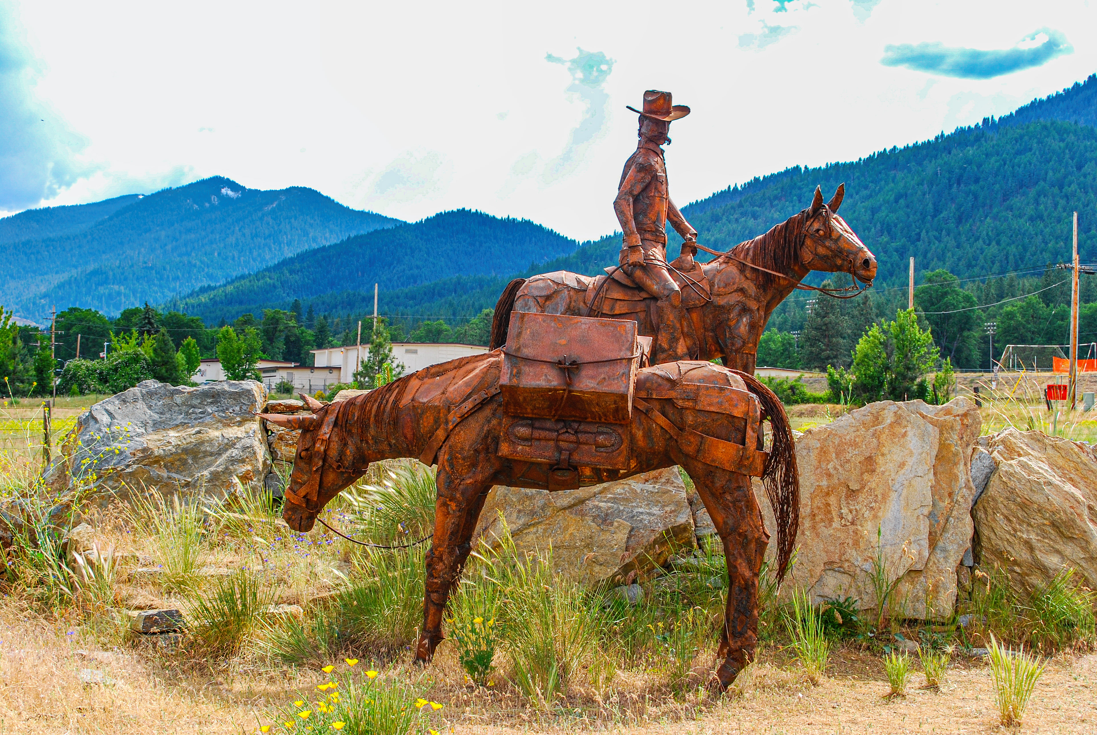
Sculpture beside the road between Etna and Fort Jones, California. (OK, it could be in either of those towns. I don't really remember where I saw it, but the pictures that came before were in Etna and those that follow were in Fort Jones. So there!)
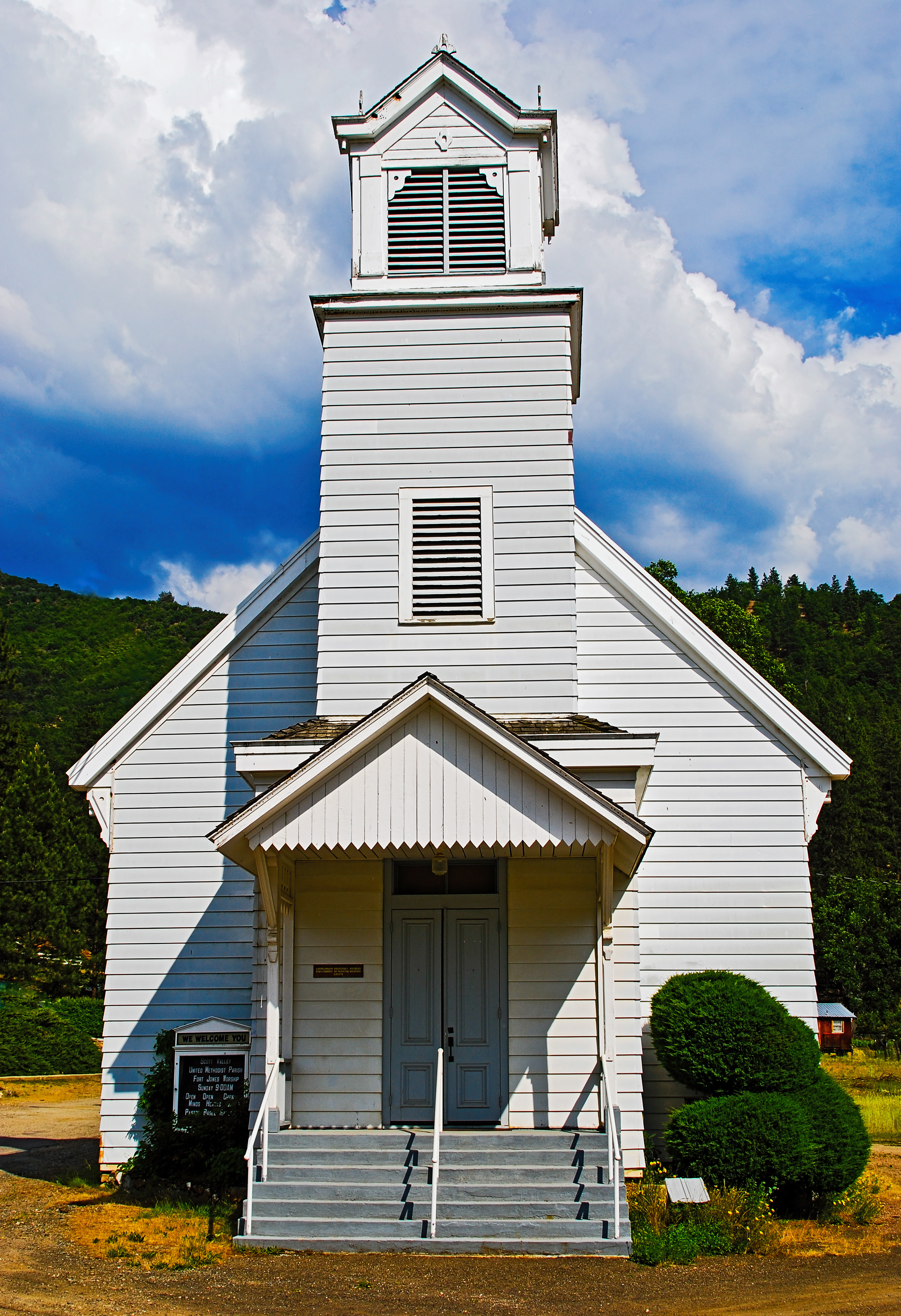
As of 2007, the Fort Jones United Methodist Church was still functioning as part of the Scott Valley United Methodist Parish. The building dates from 1873 when it was built as the Methodist Episcopal Church--as the northern Methodist church was known before 1939. (The southern church was, obviously, the Methodist Episcopal Church, South.)
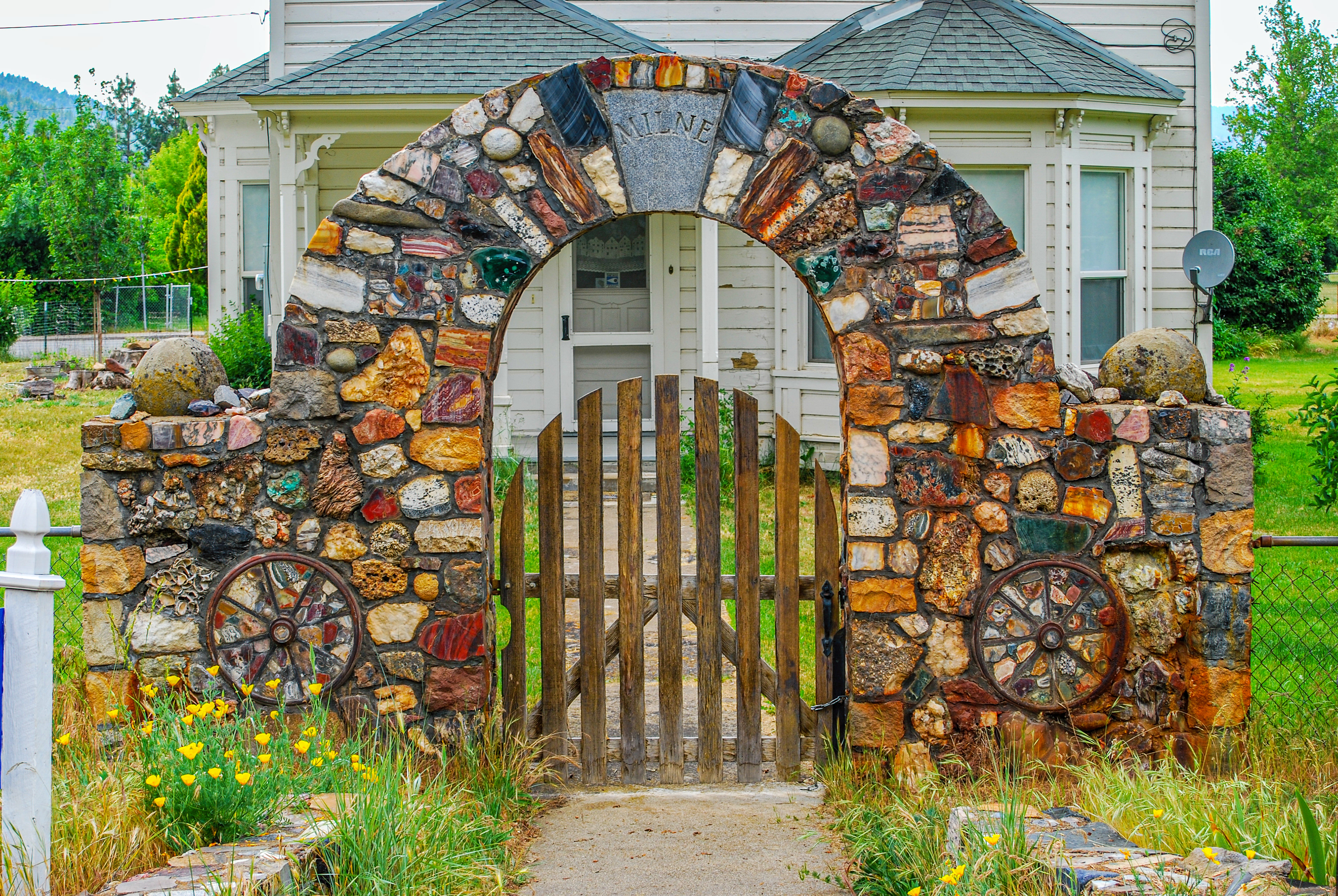
I found this gateway in Yreka, California, beautiful. Hope the Milnes, assuming they still live here, don't mind me posting it.
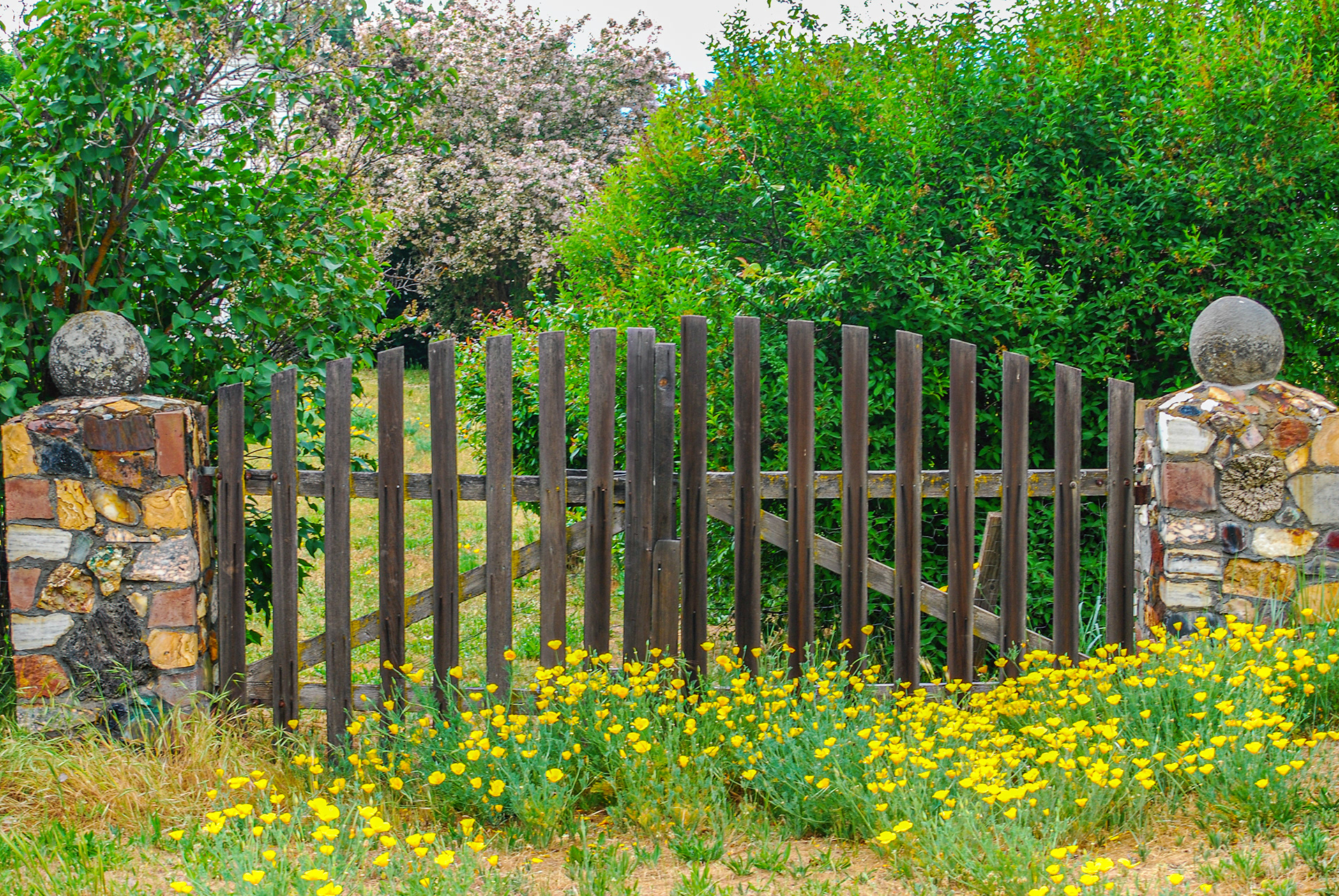
Another pretty gate I found in Yreka, and just look at all those California poppies.
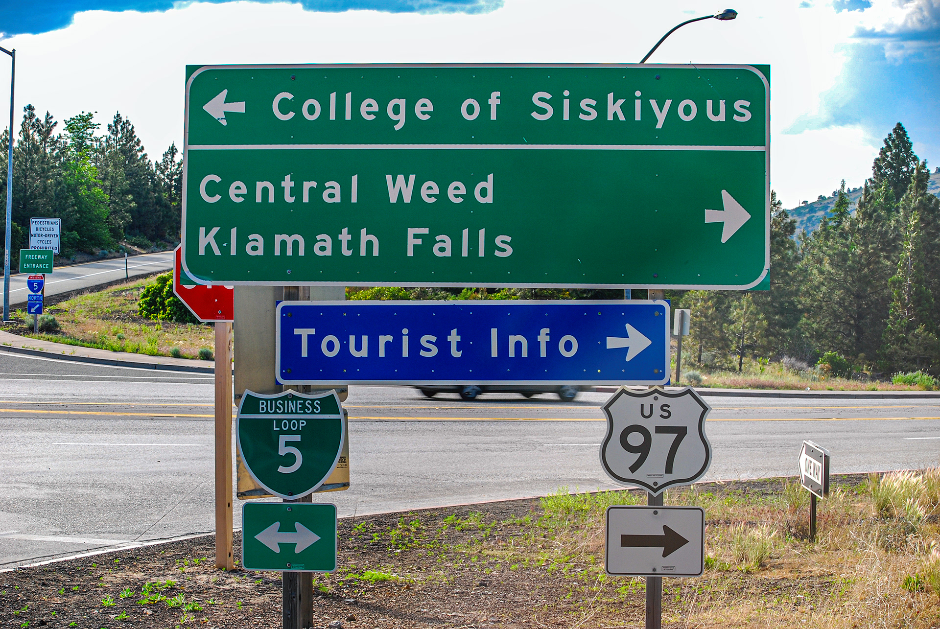
This sign is much more complicated than it used to be. I remember it giving people the choice between Weed and College. For some reason, that sign kept getting stolen. Go figure.
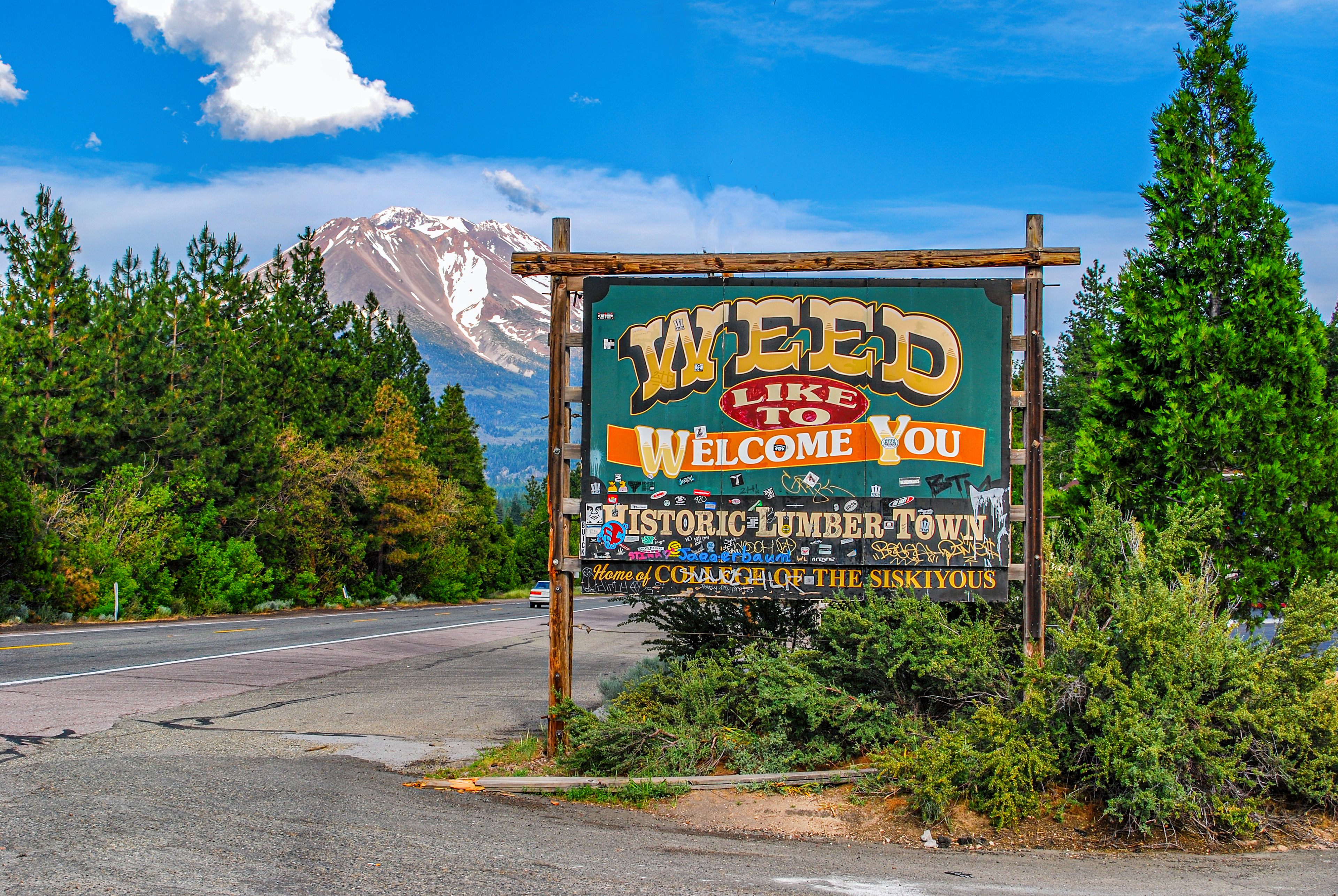
I chose Weed over College and got this terrific view of Mount Shasta. This is the end of our drive, but I still had to get back home. Westbound I stayed on I-5 to Grants Pass, Oregon, then US 199 to Crescent City and Smith River. 192 miles. Total driving for the day was 445 miles. A good day's jaunt through beautiful country.