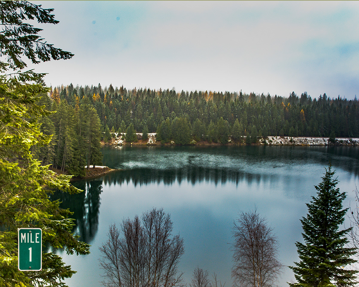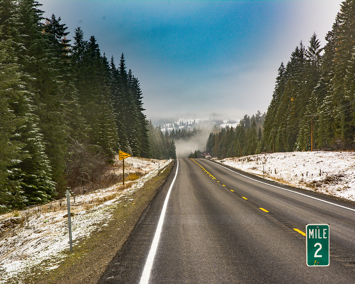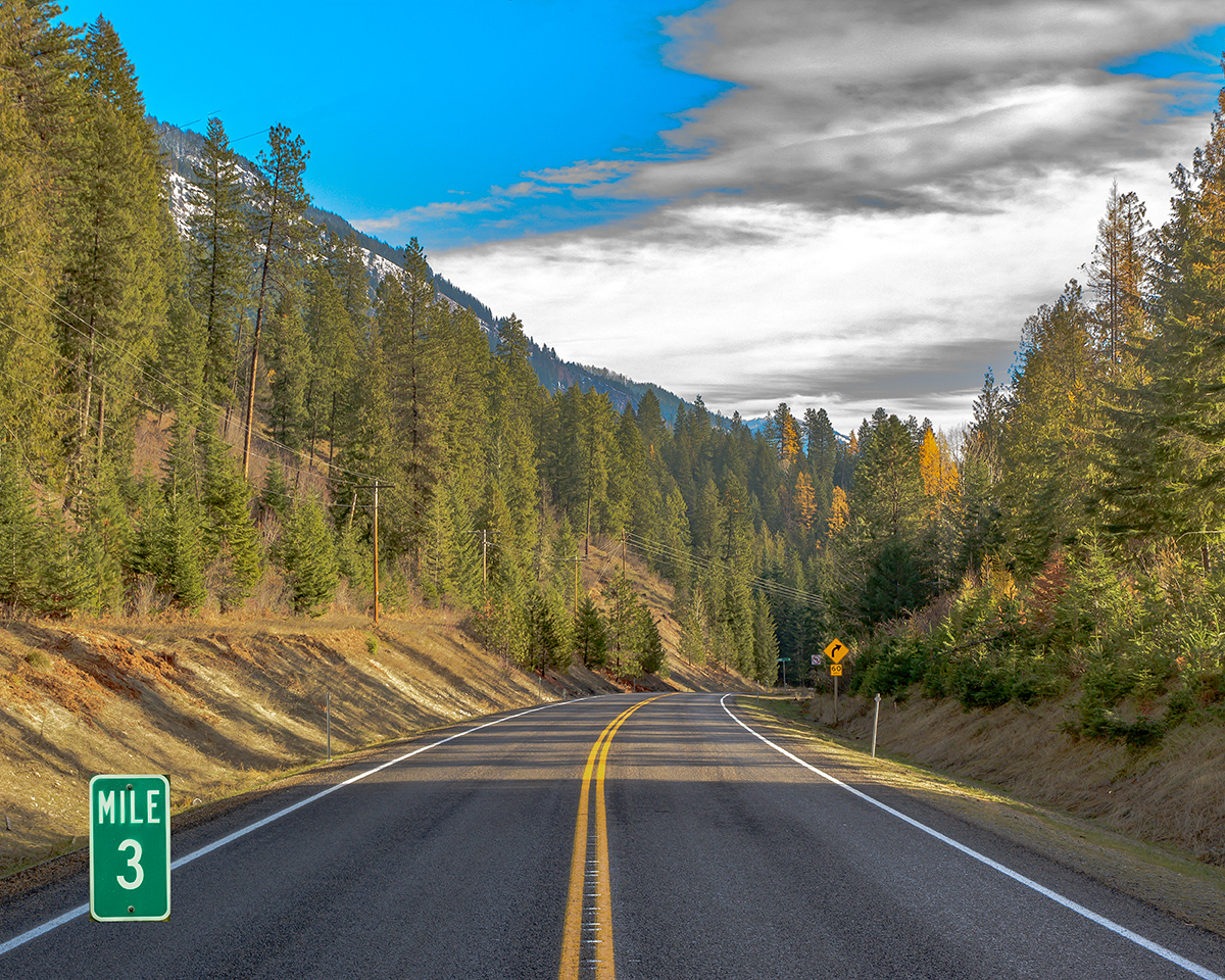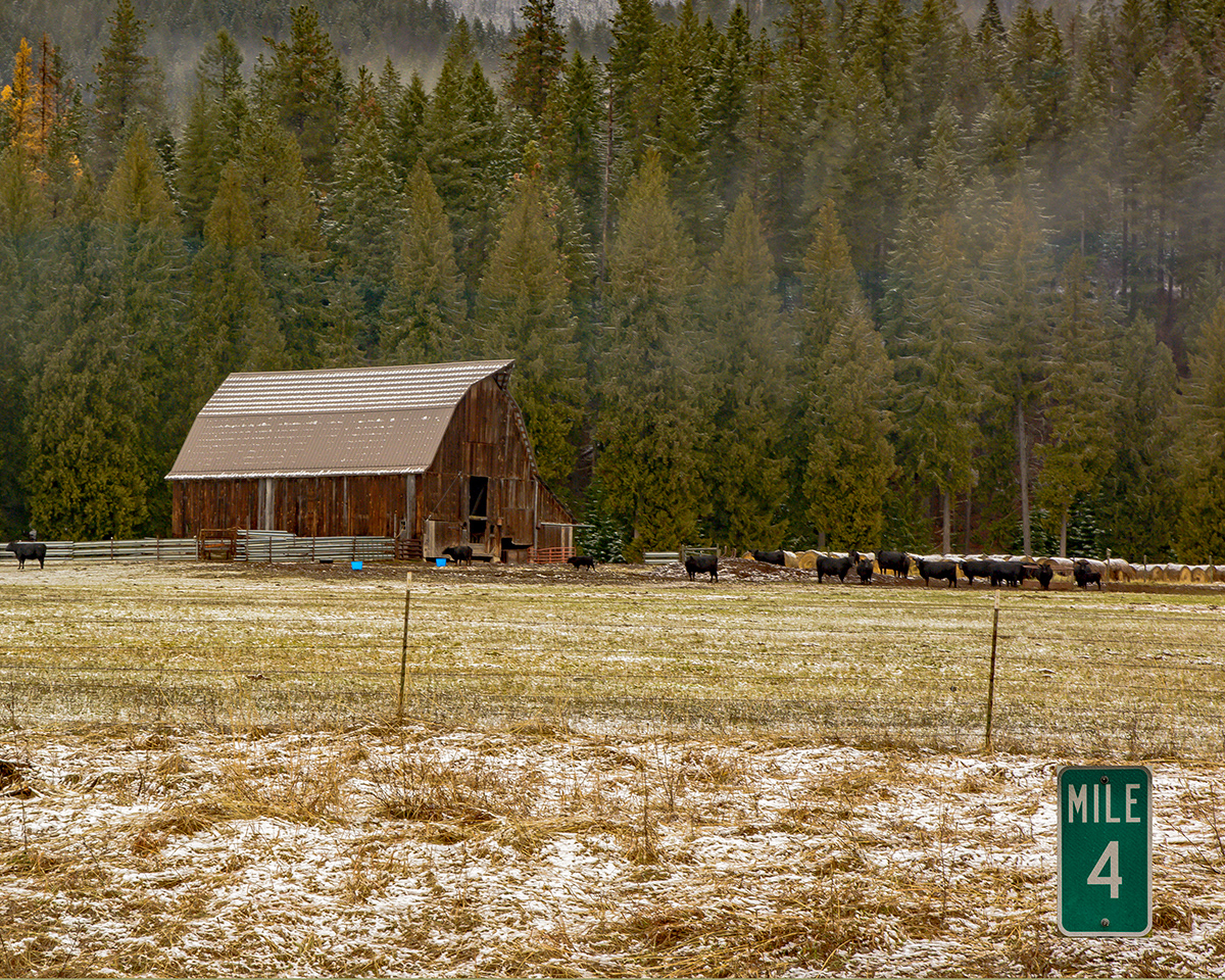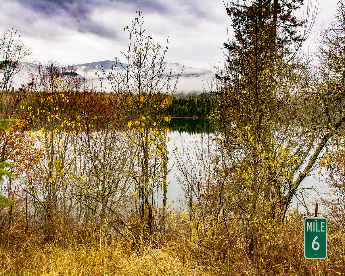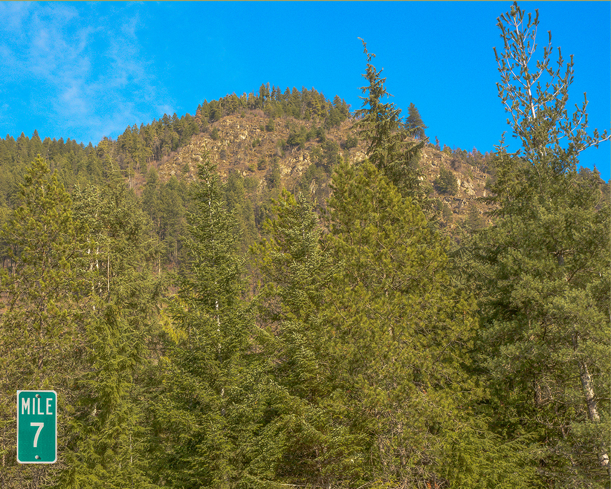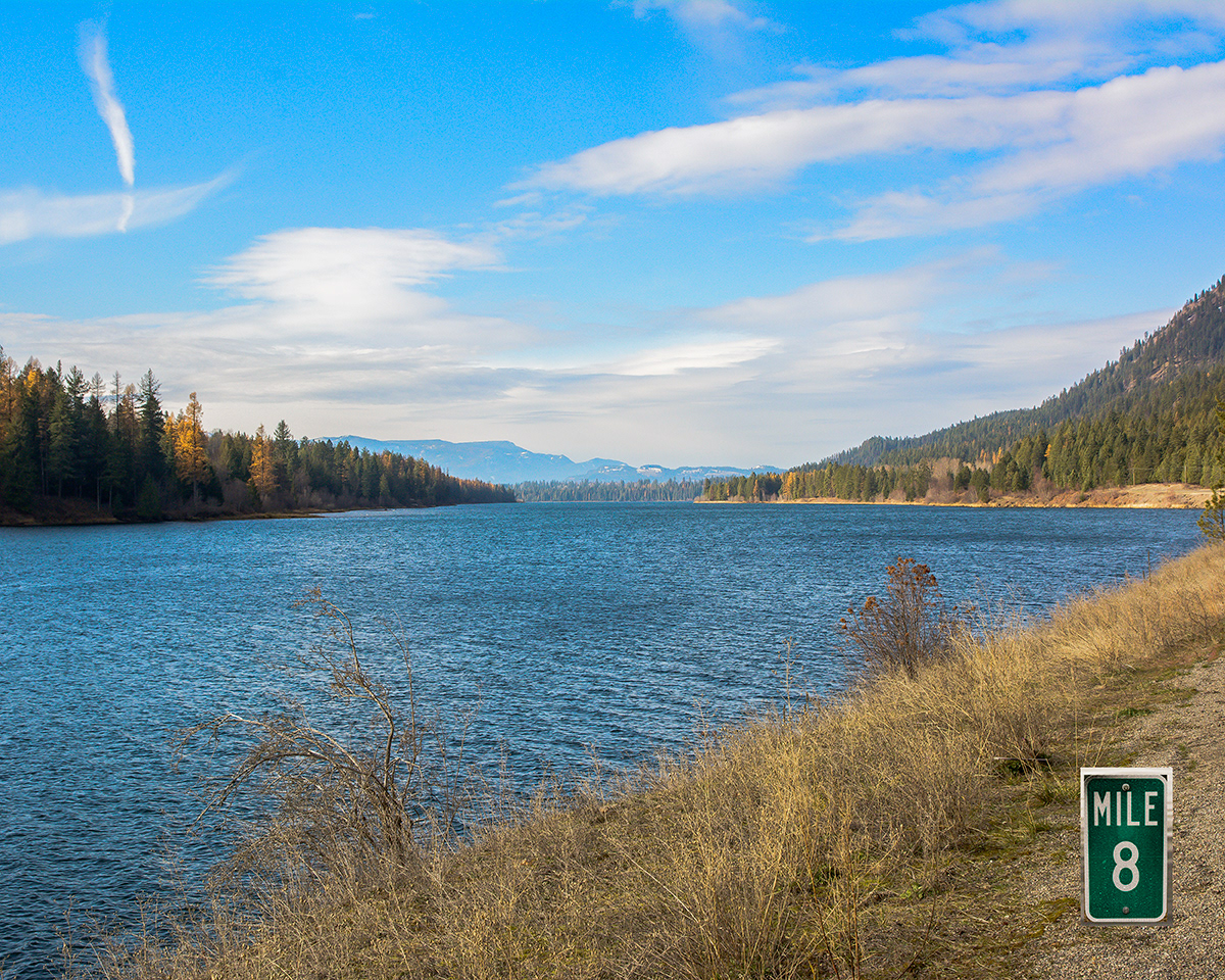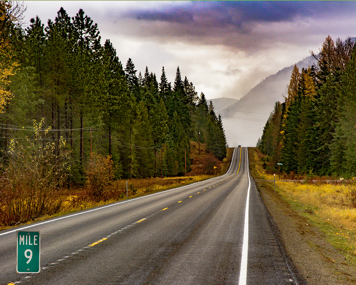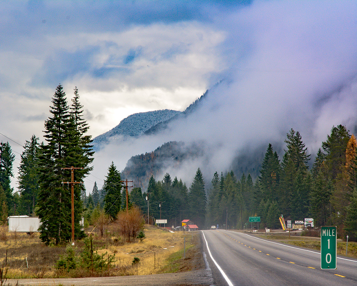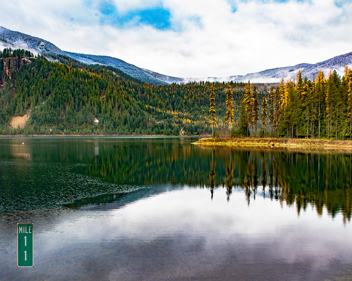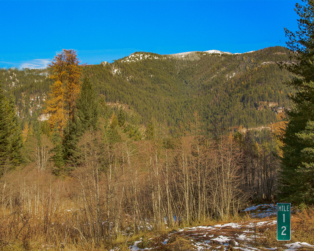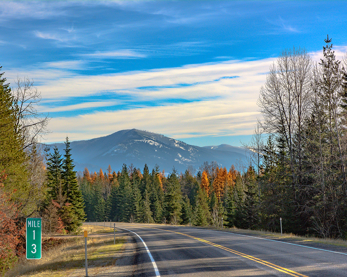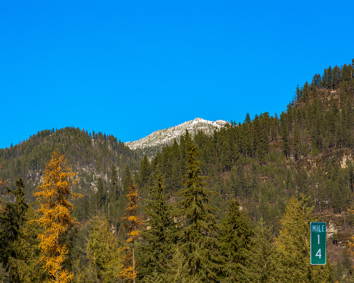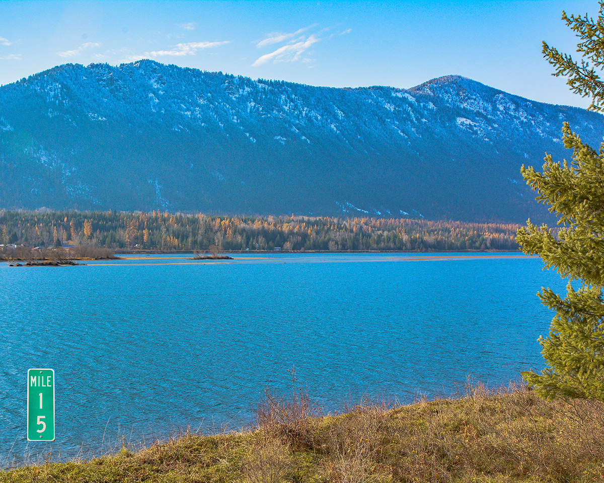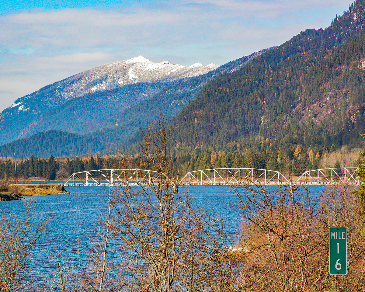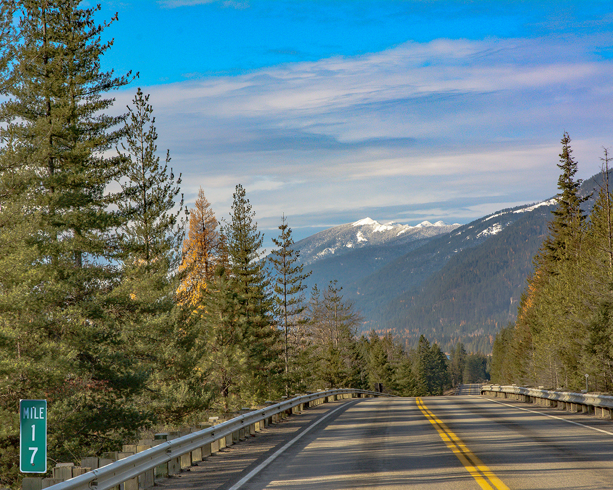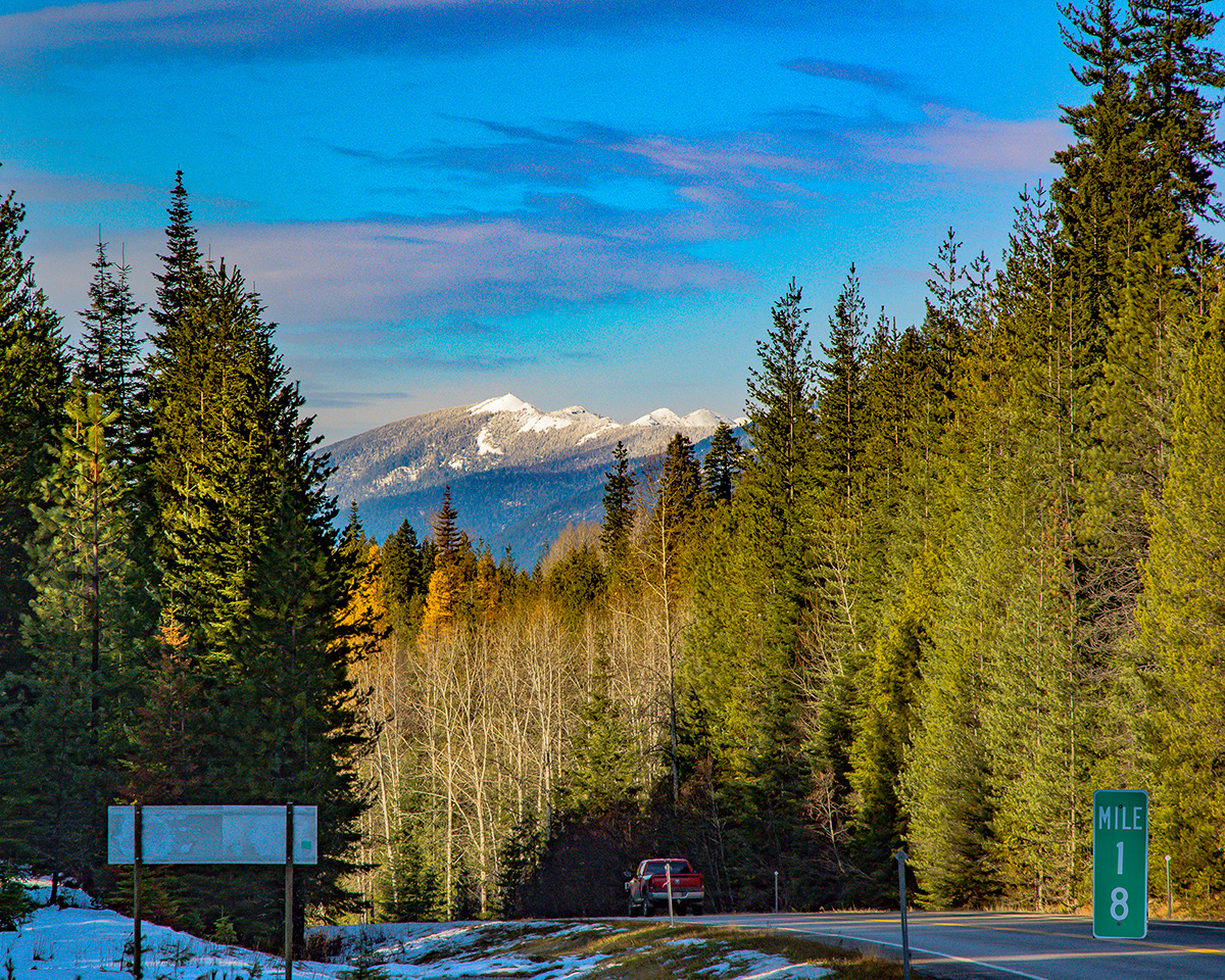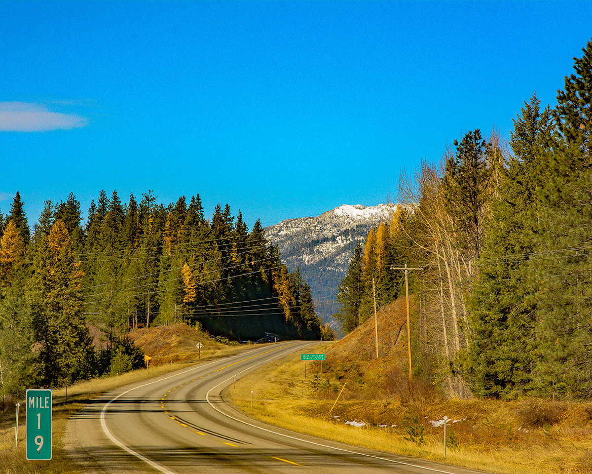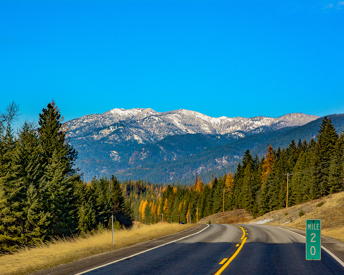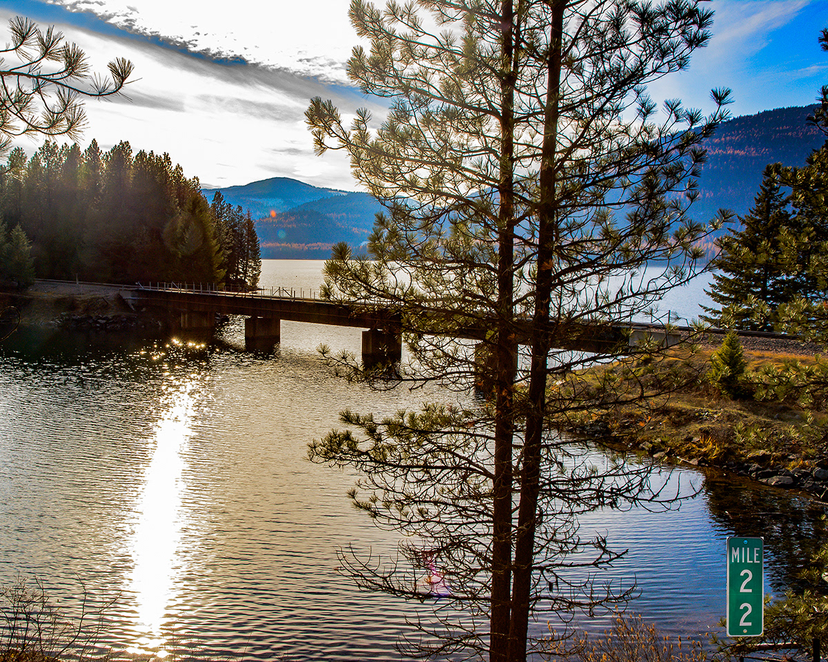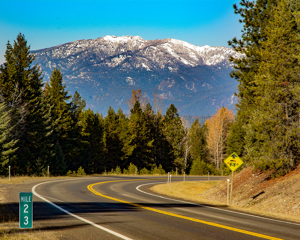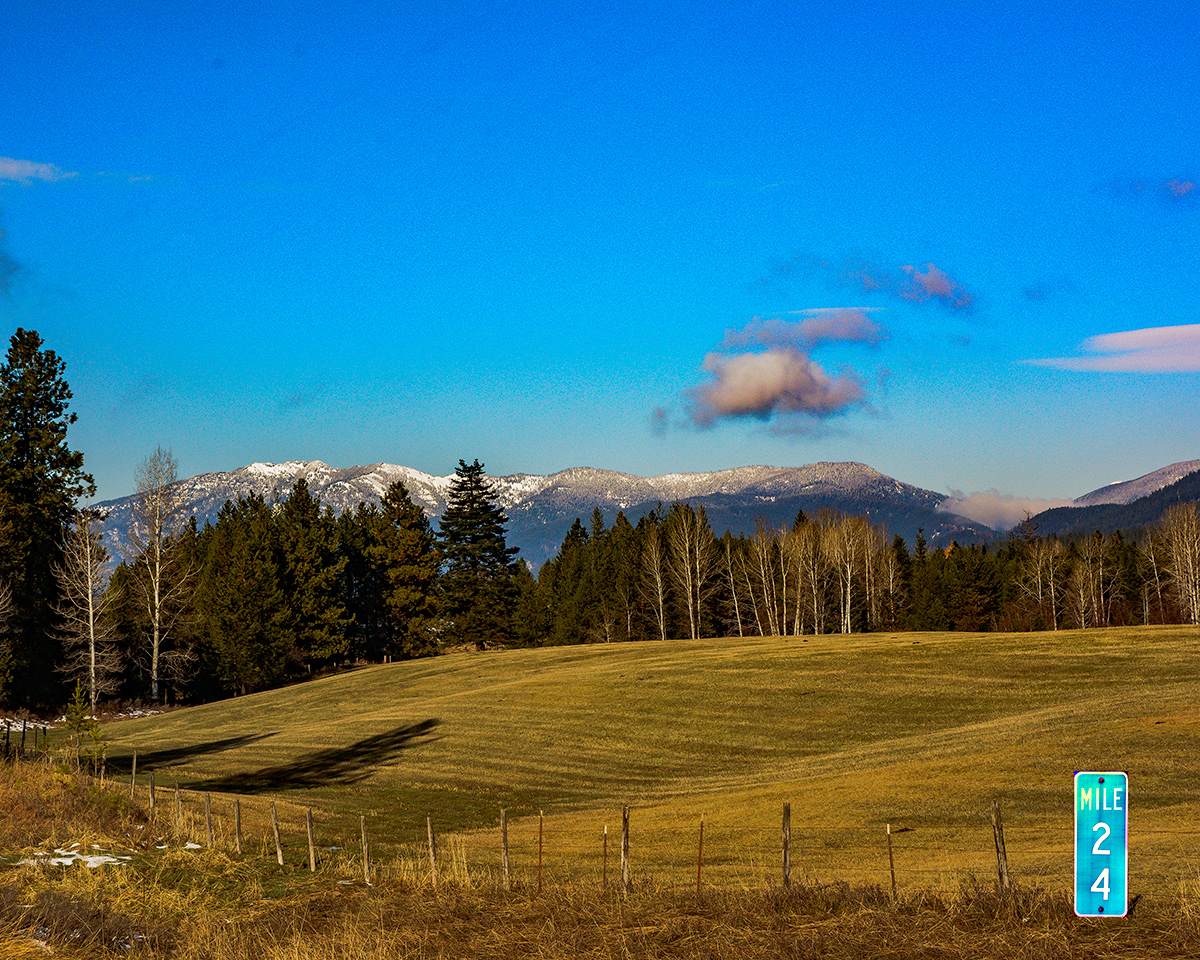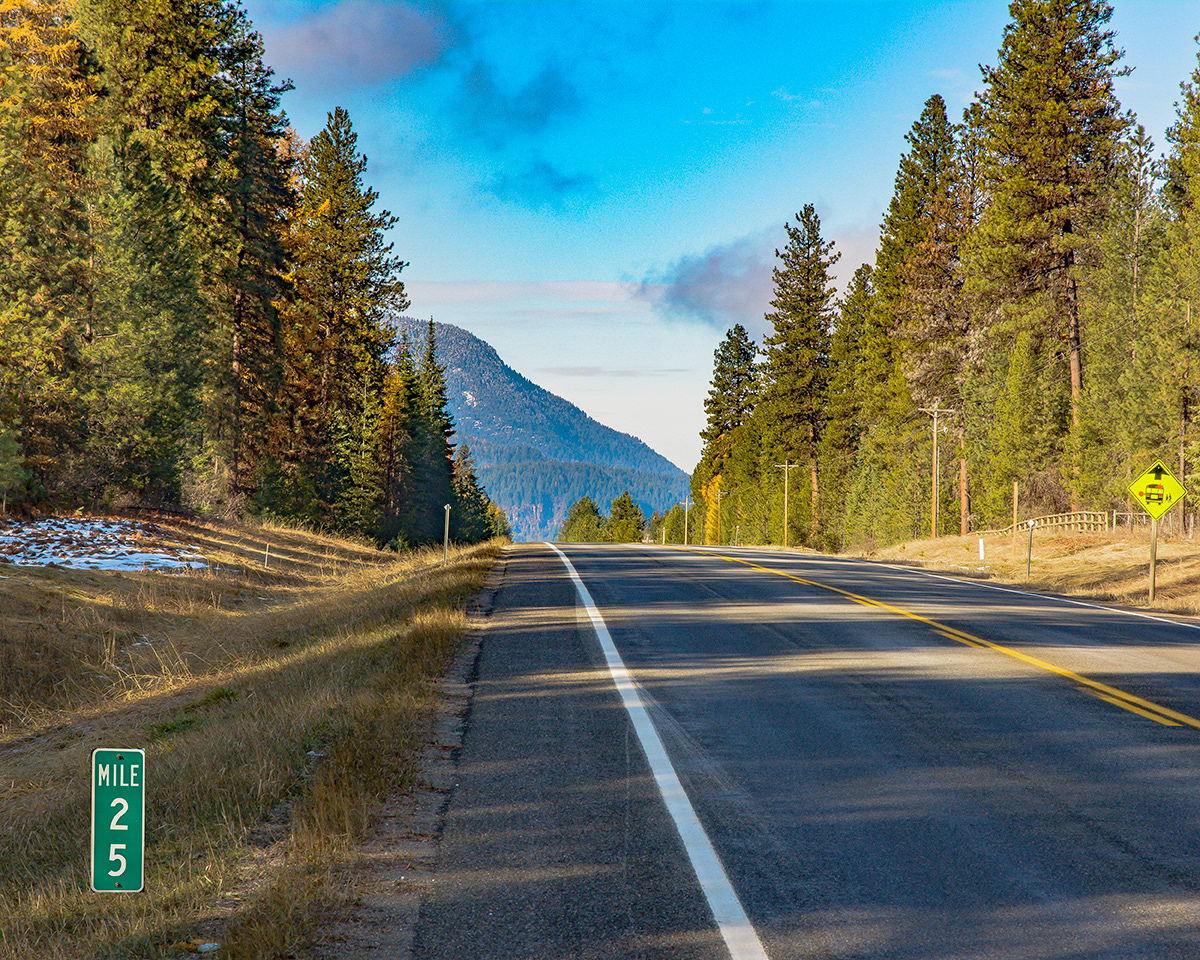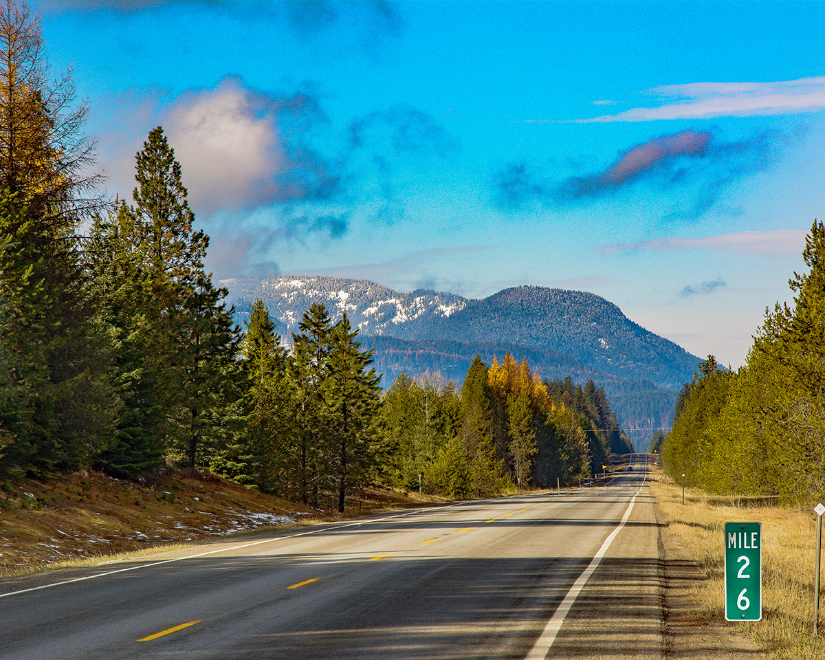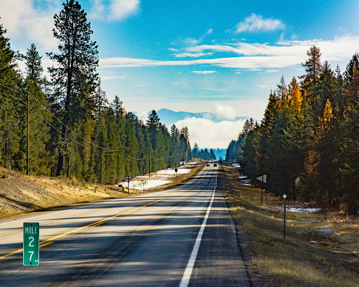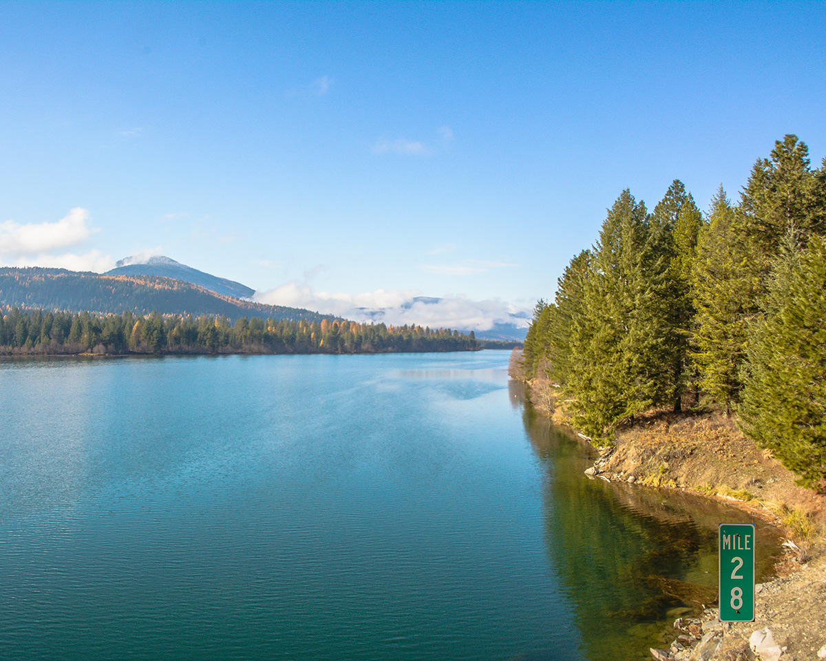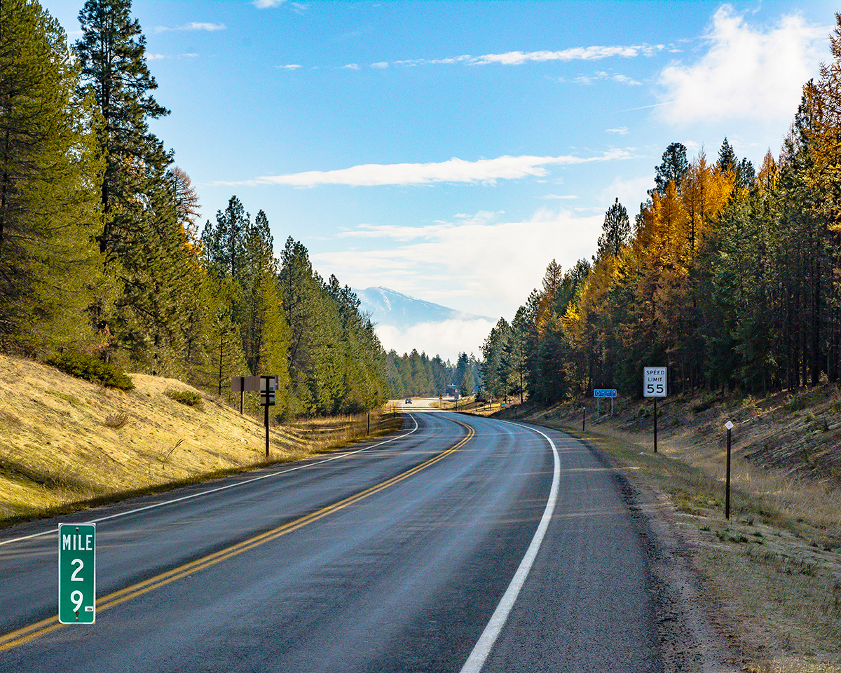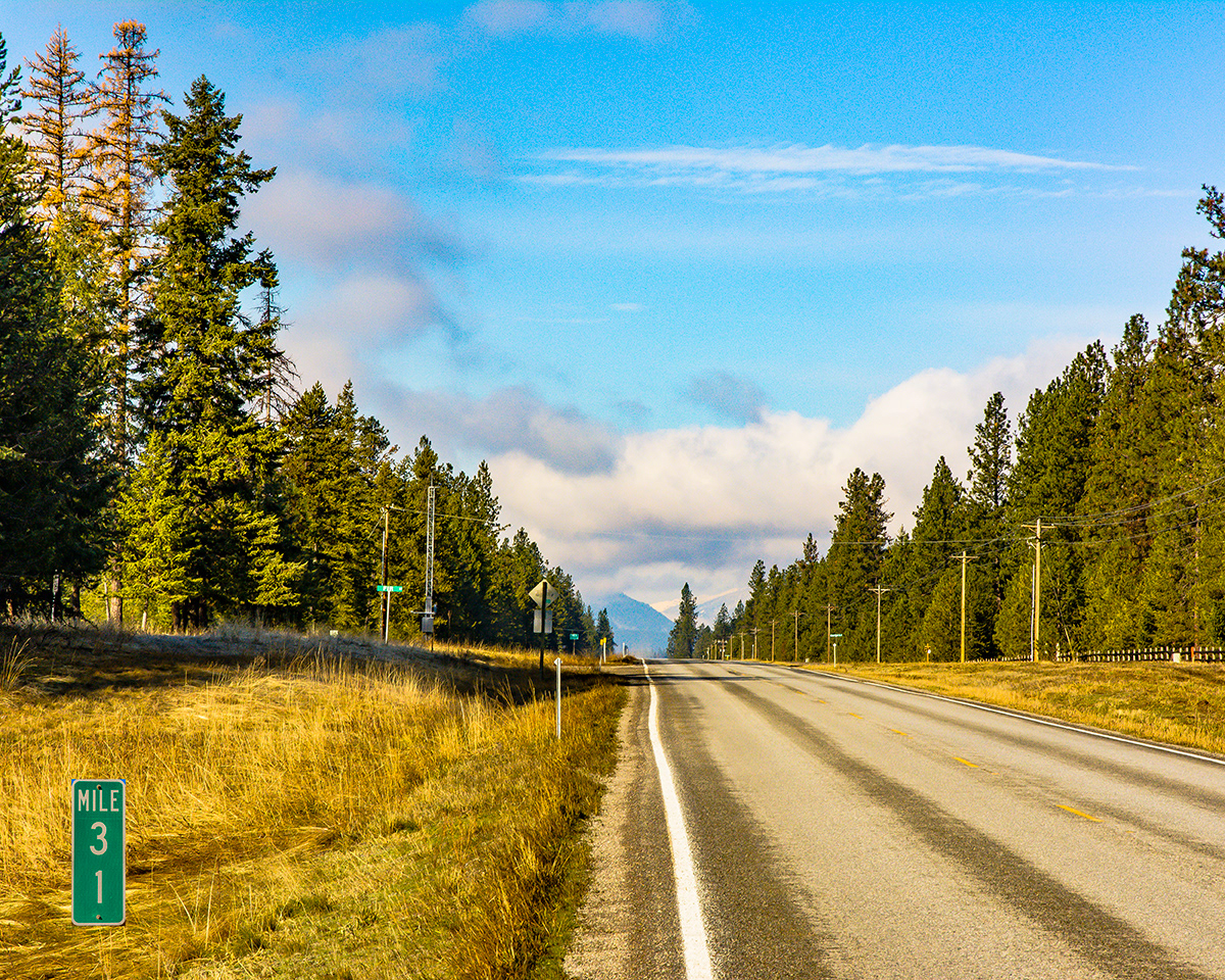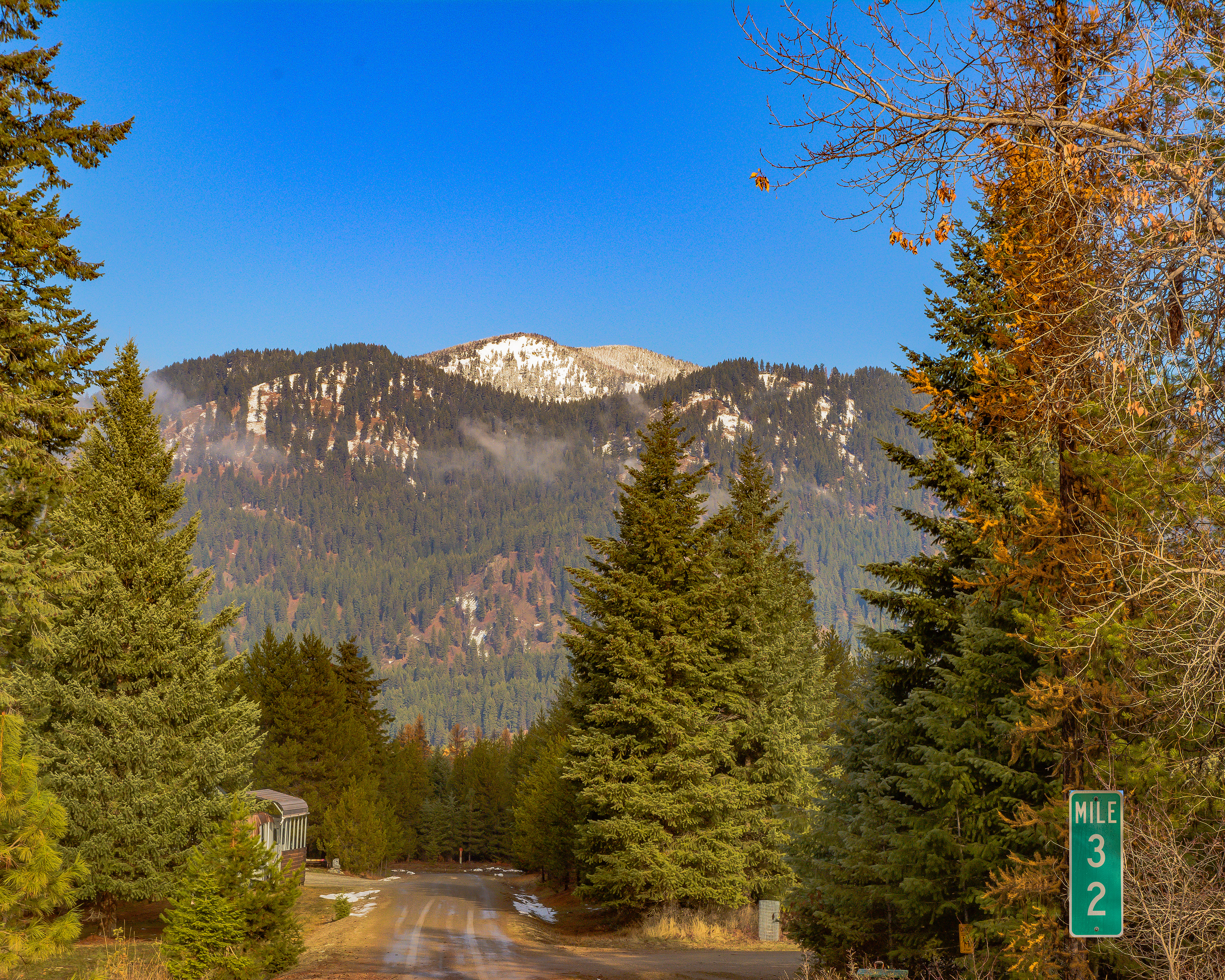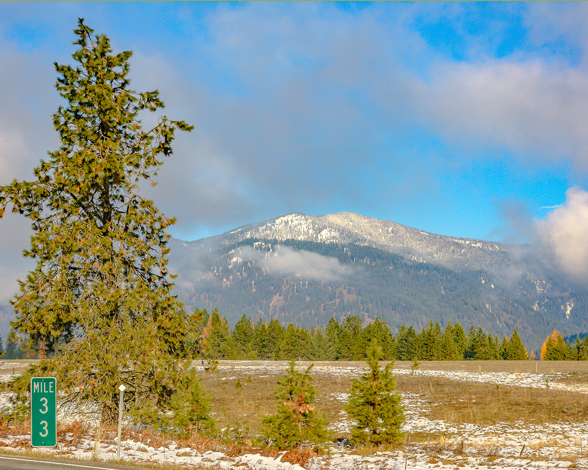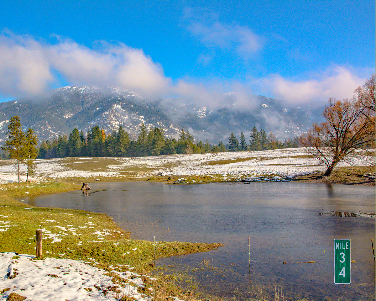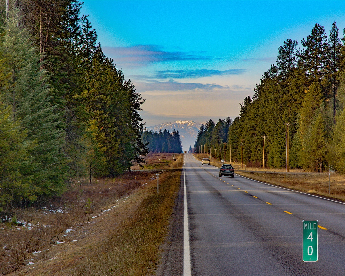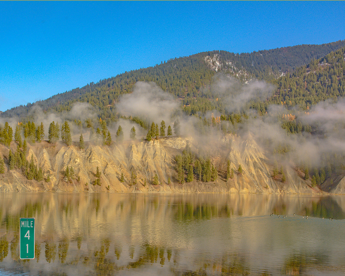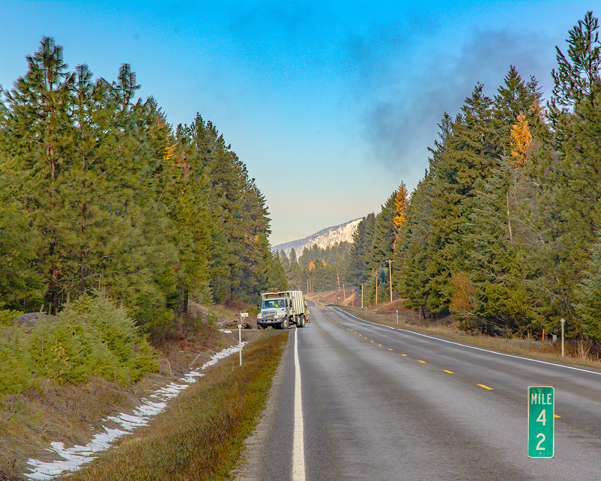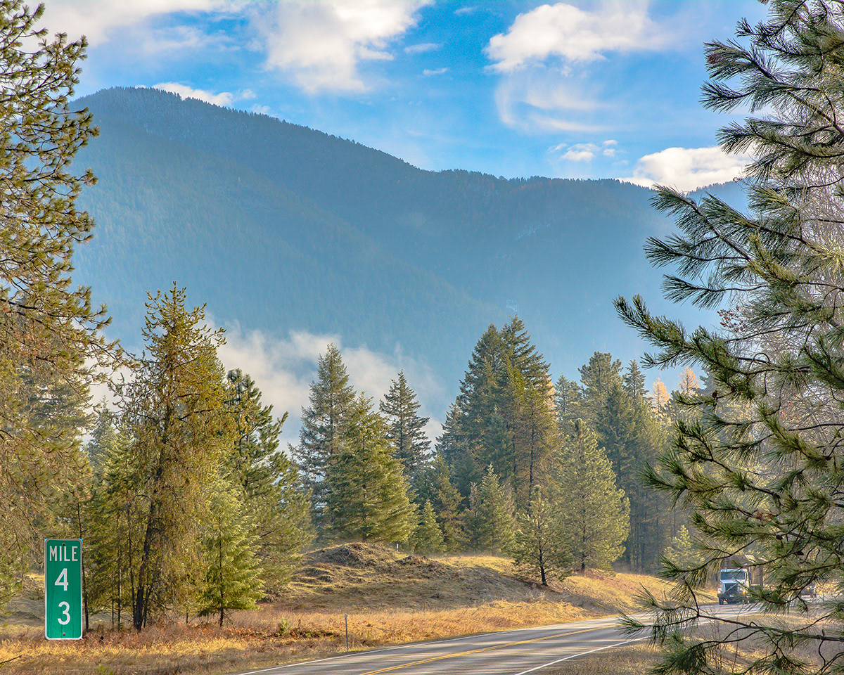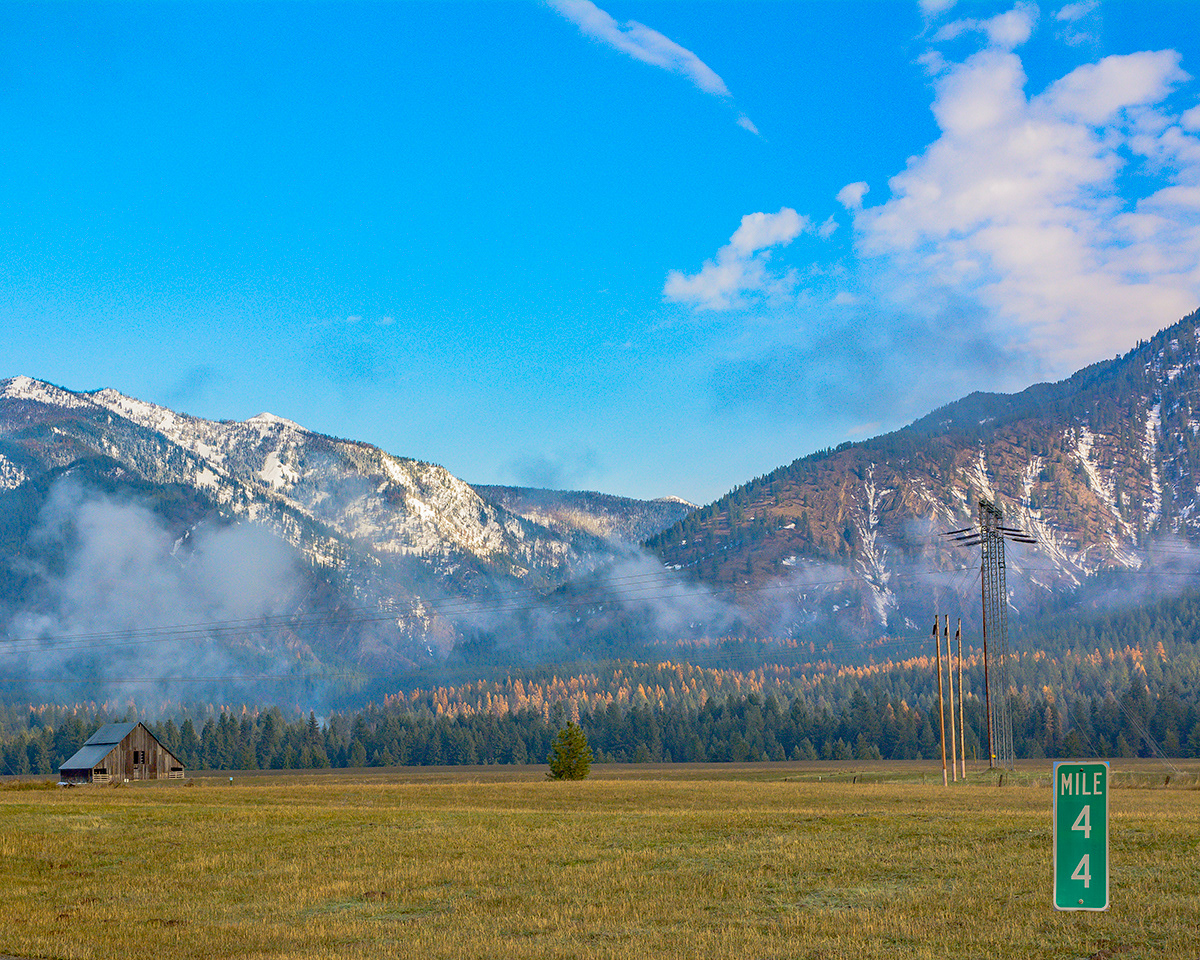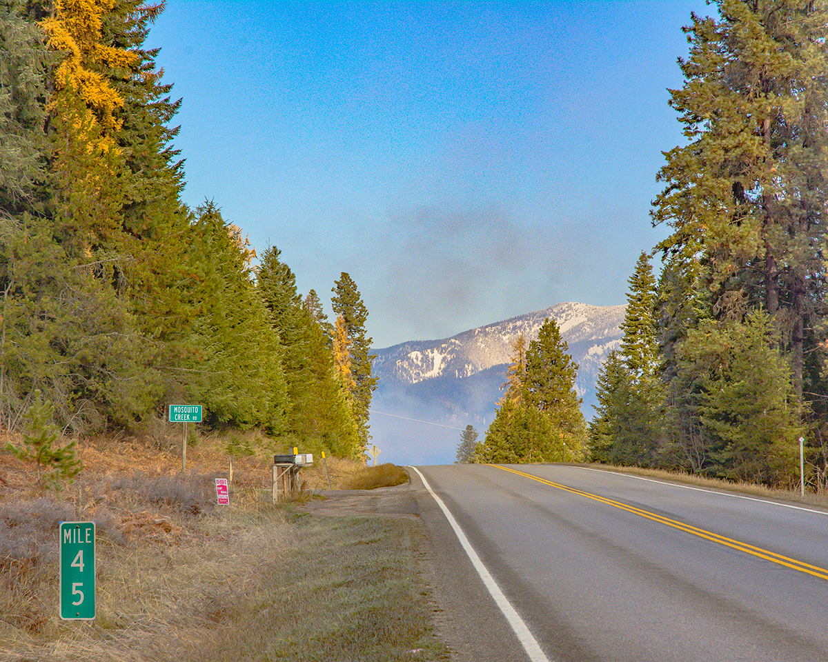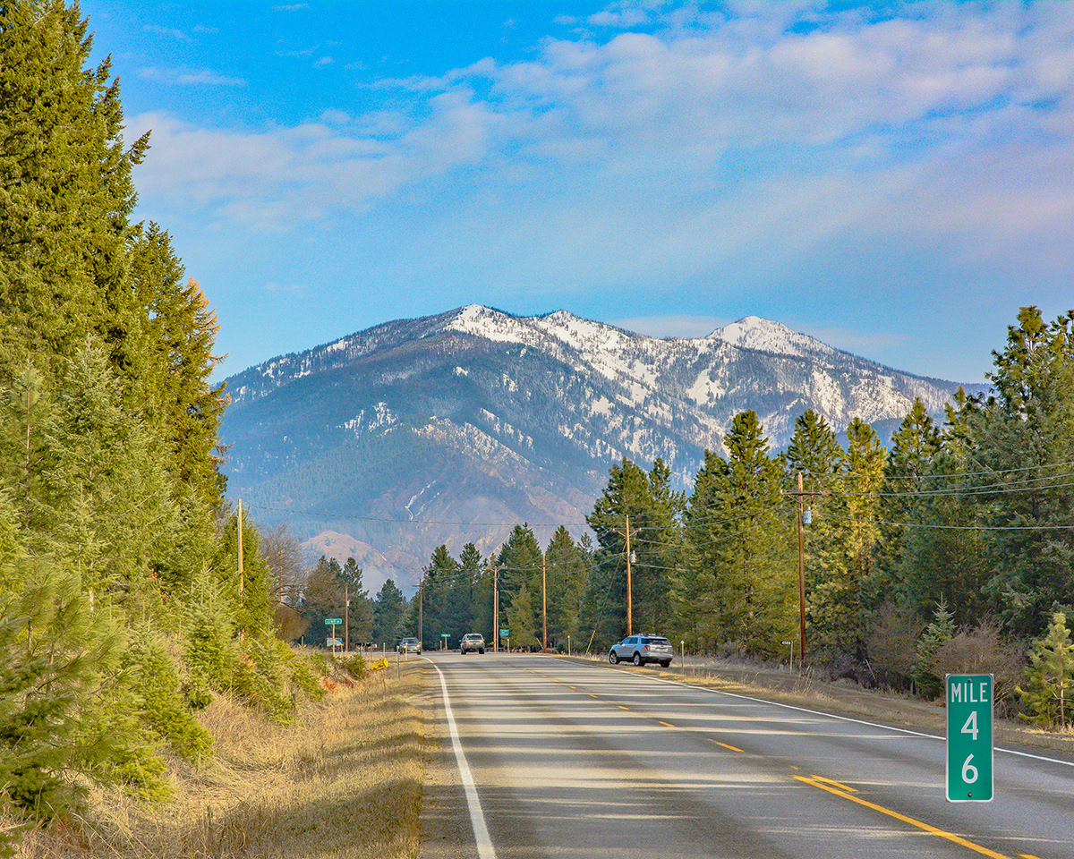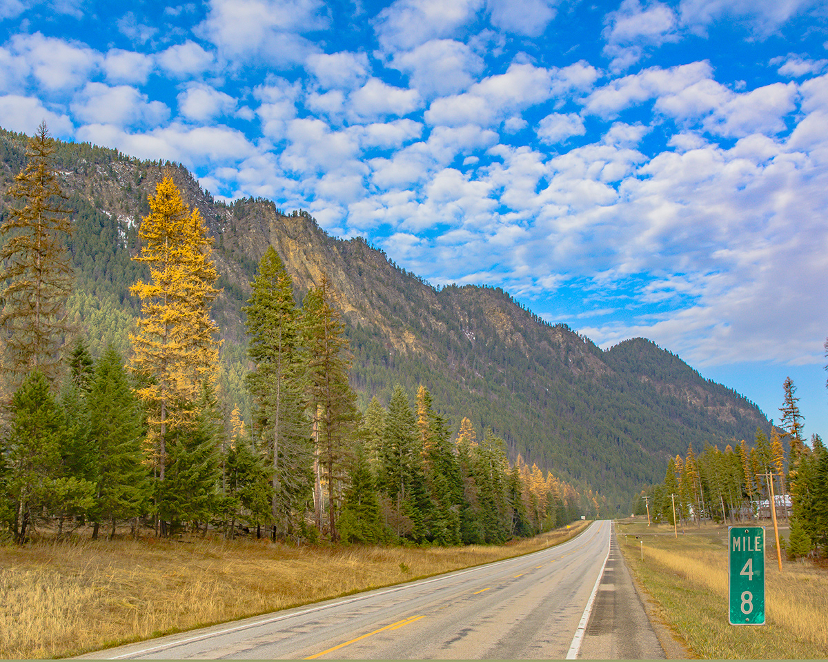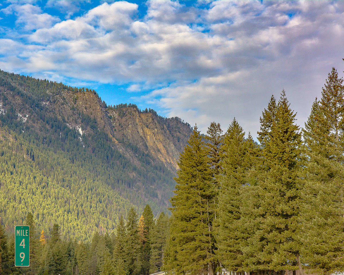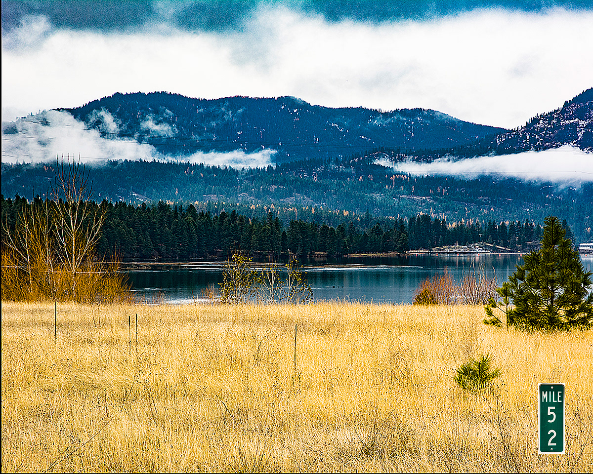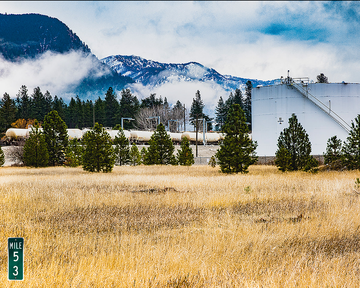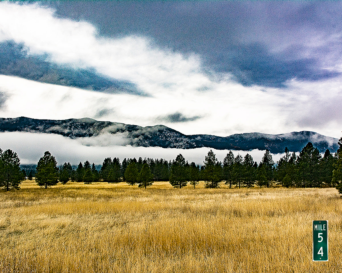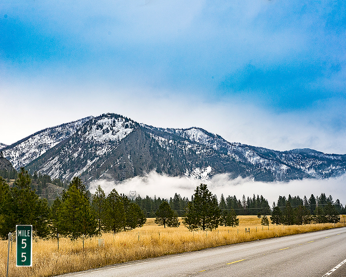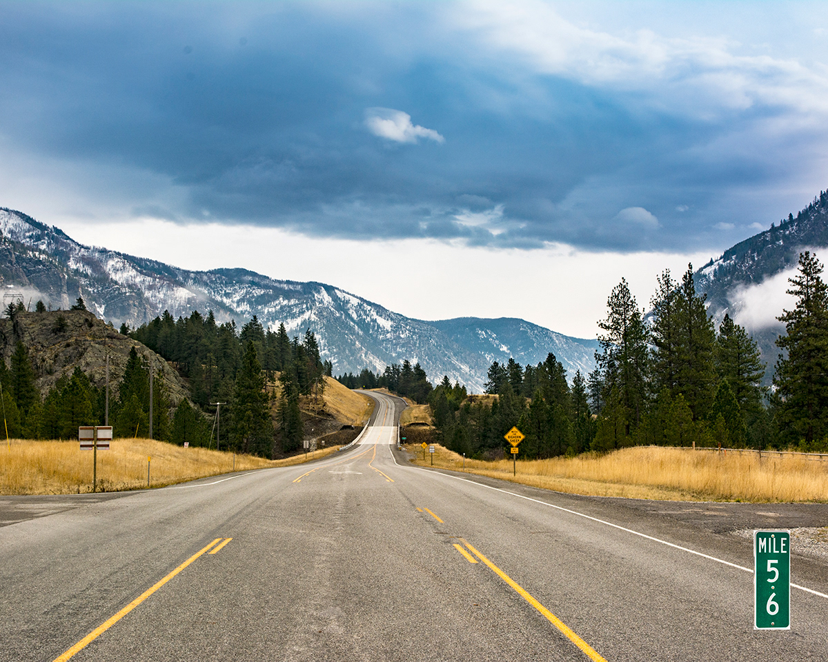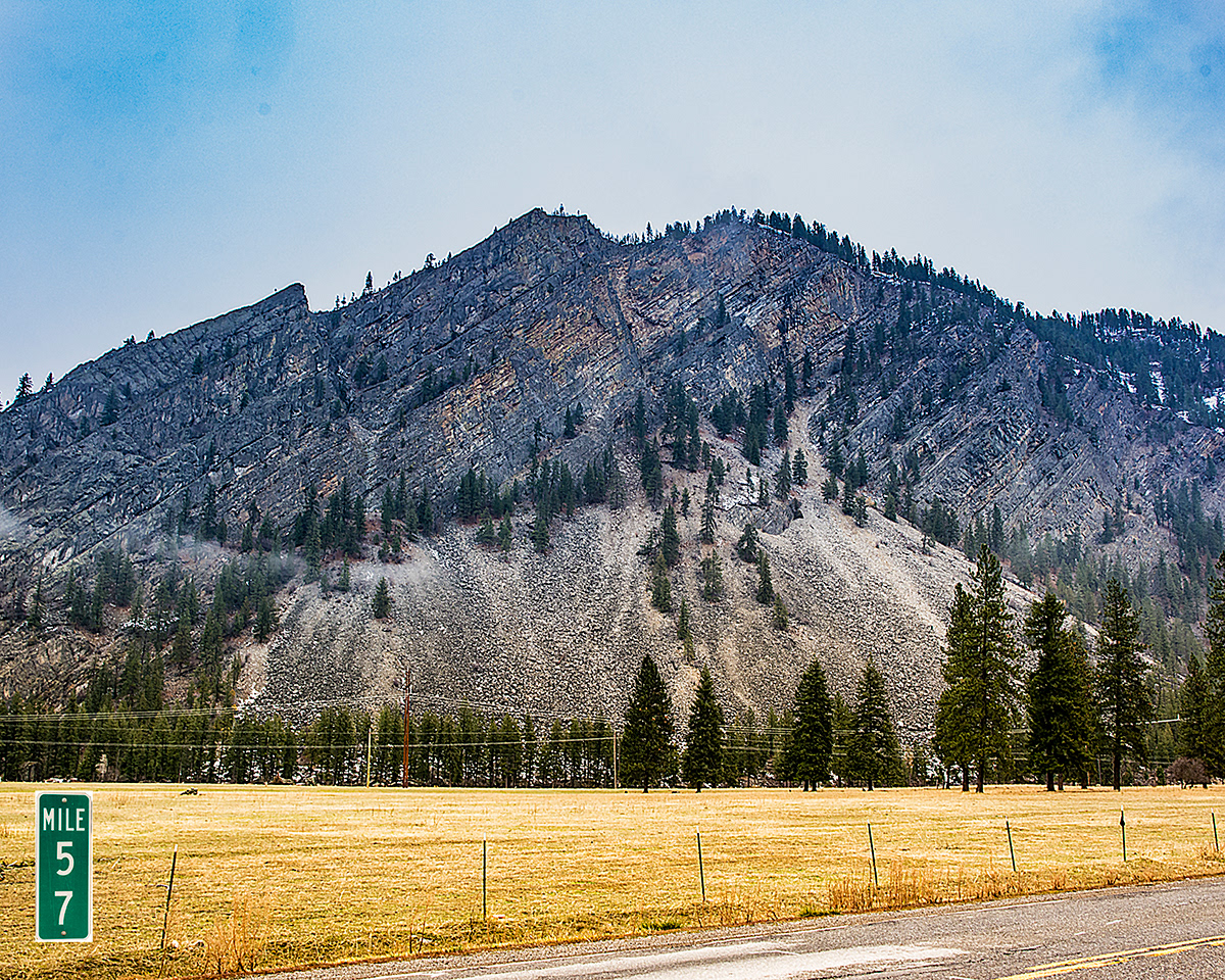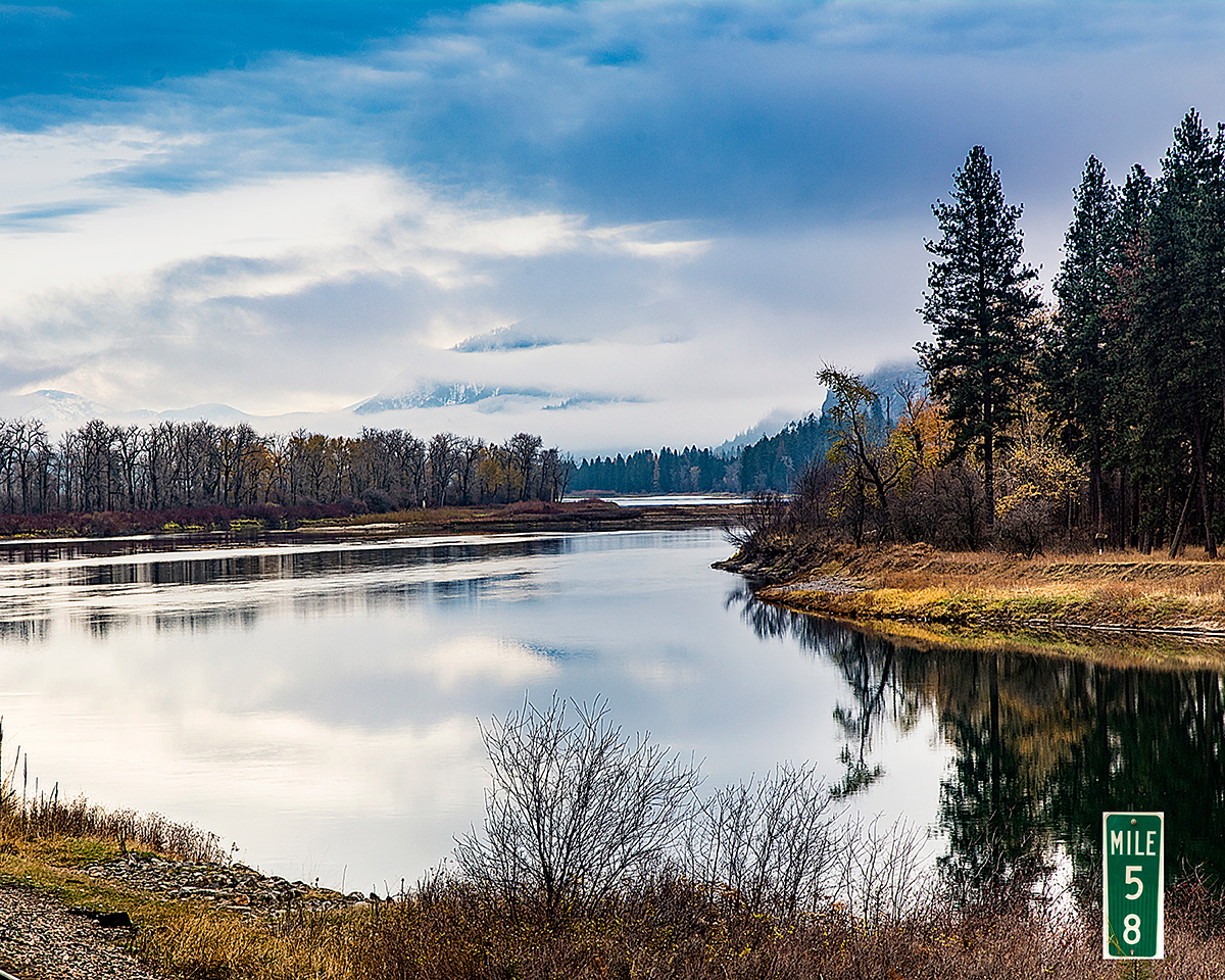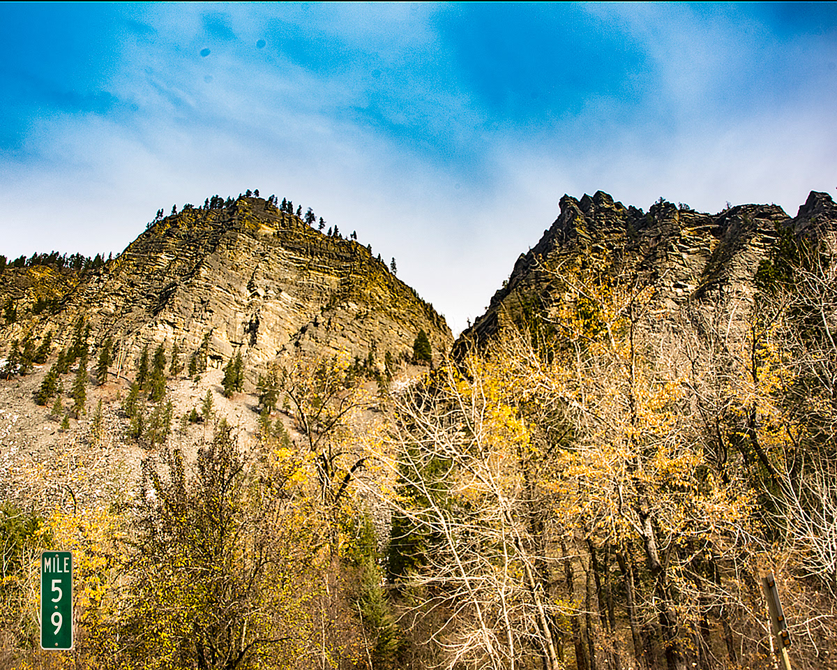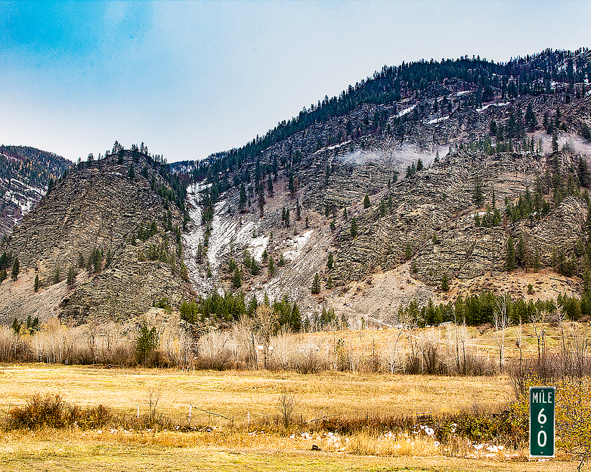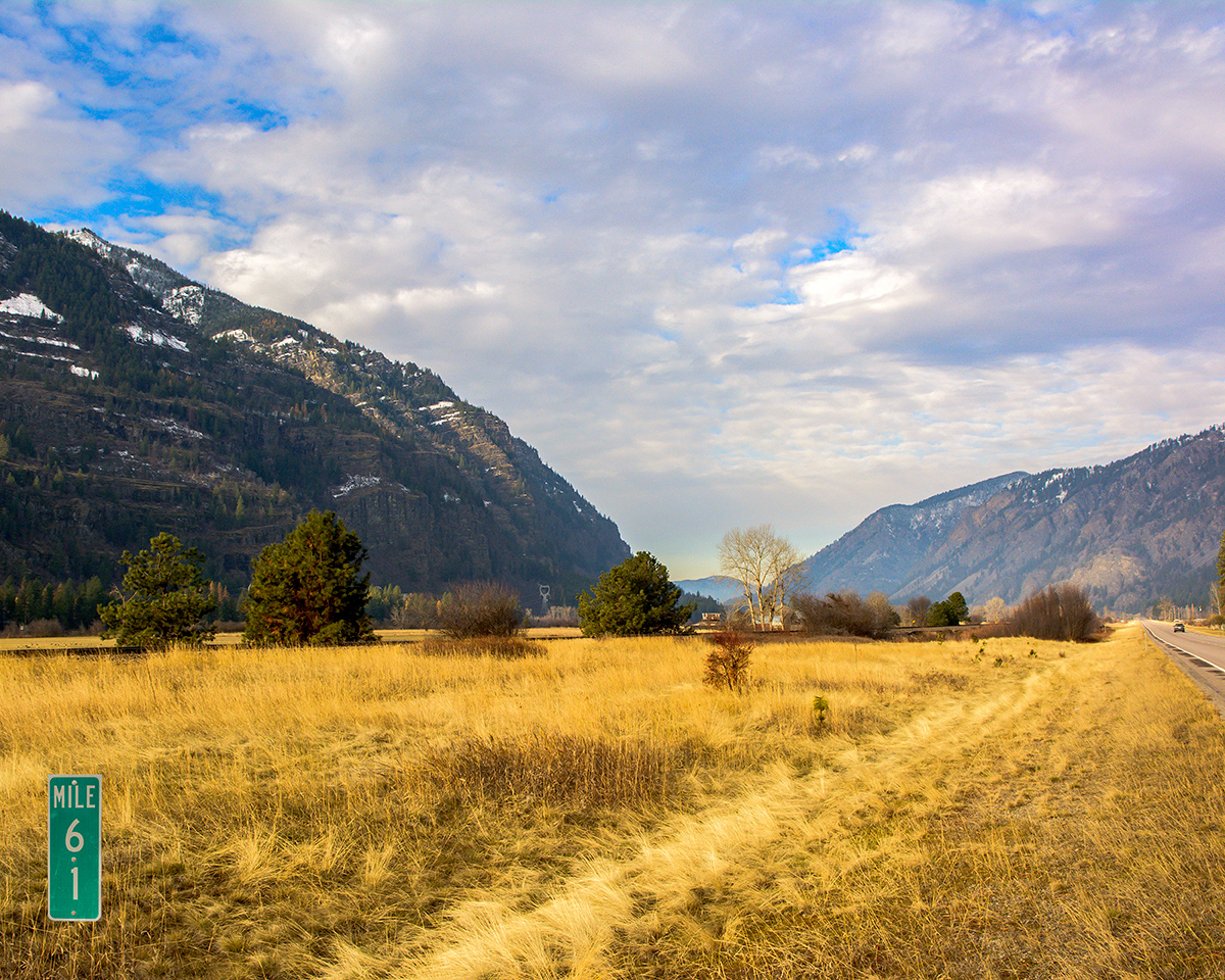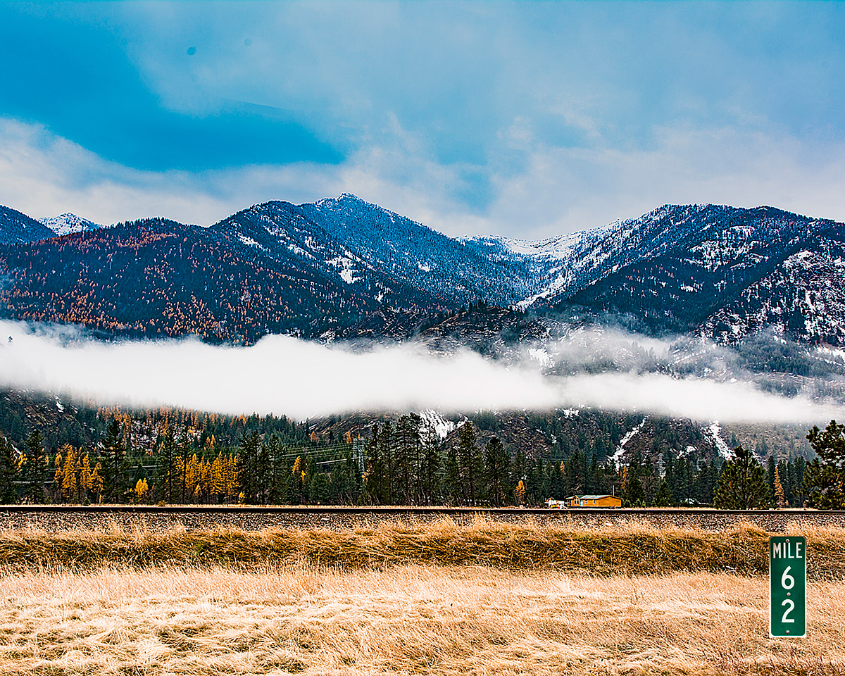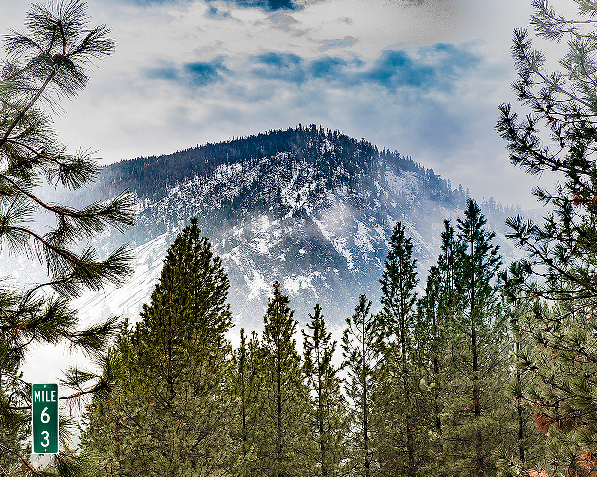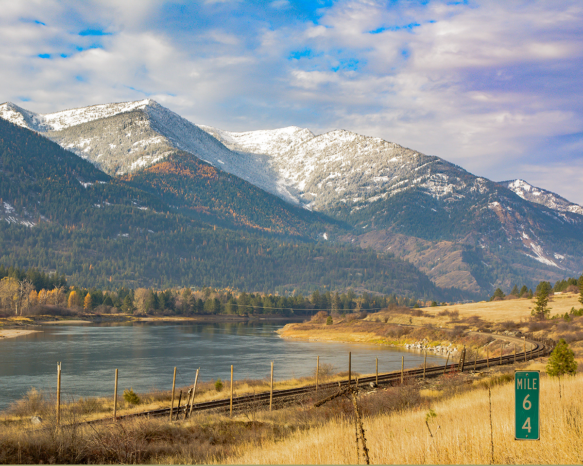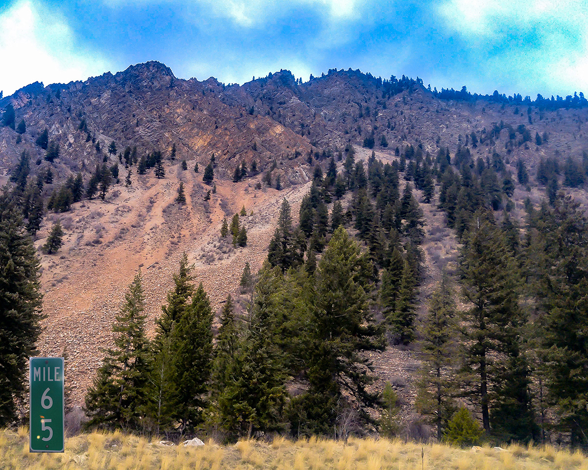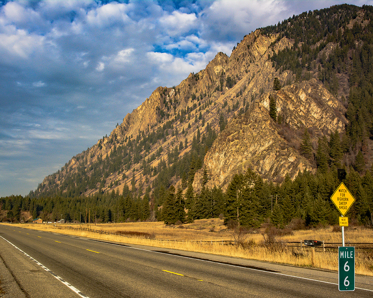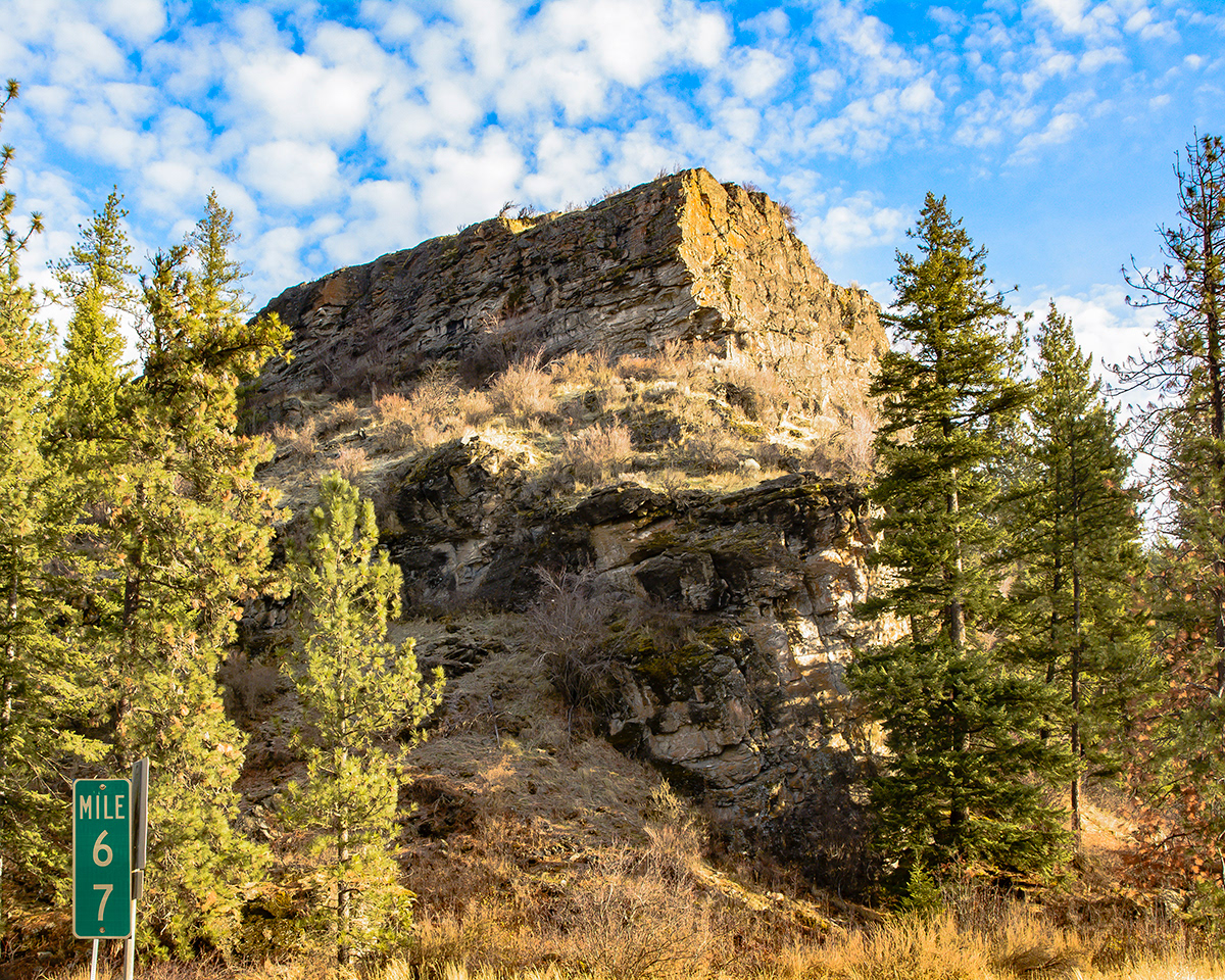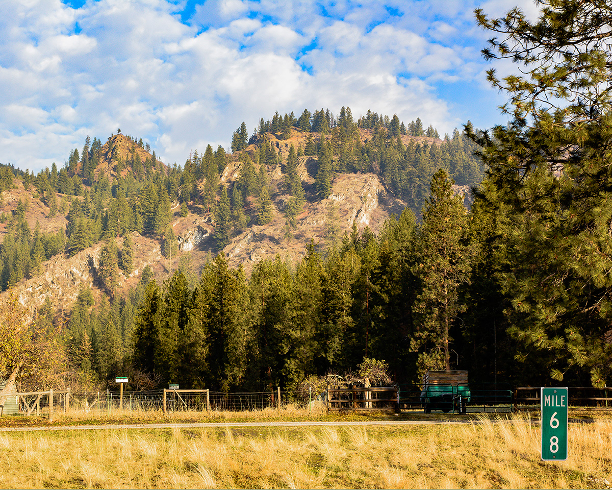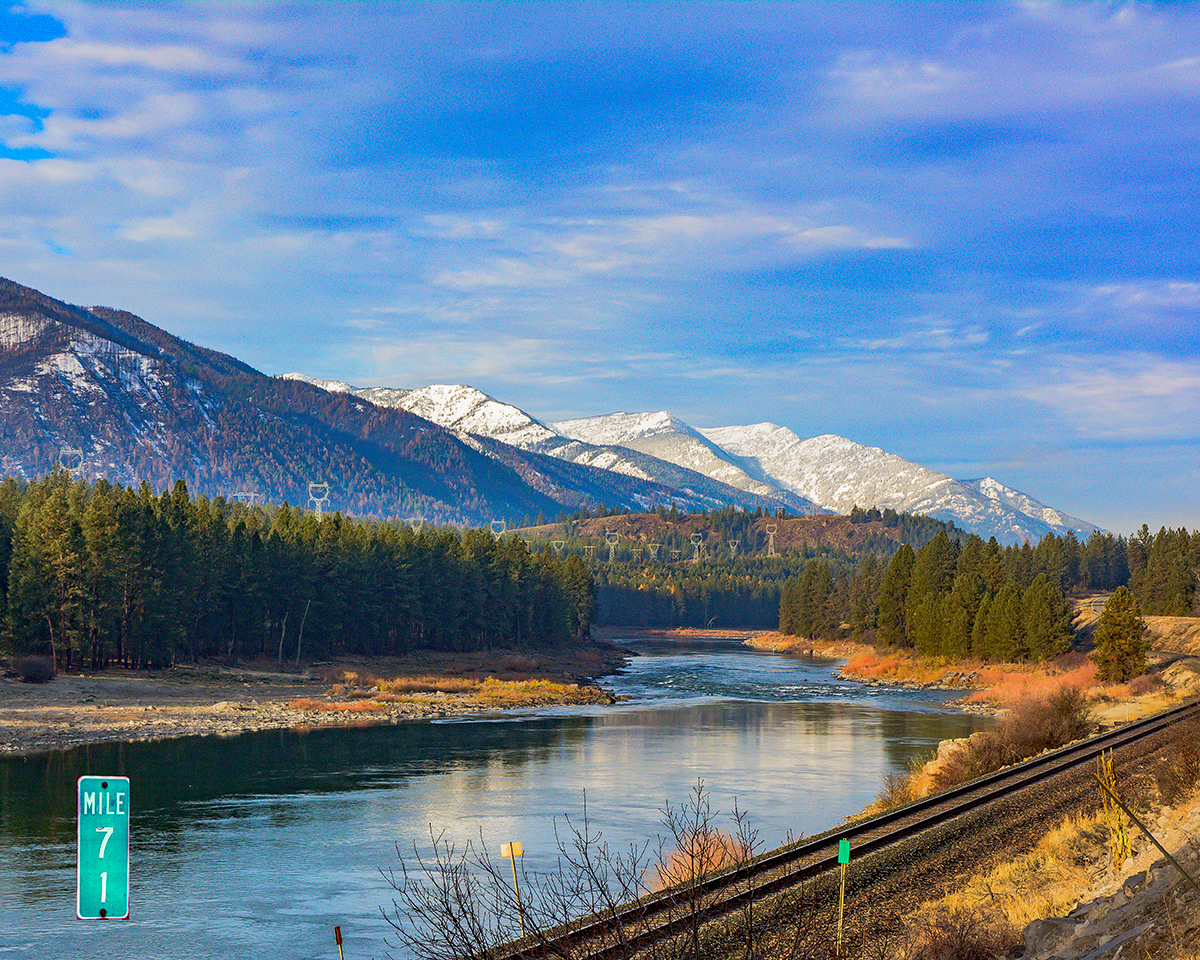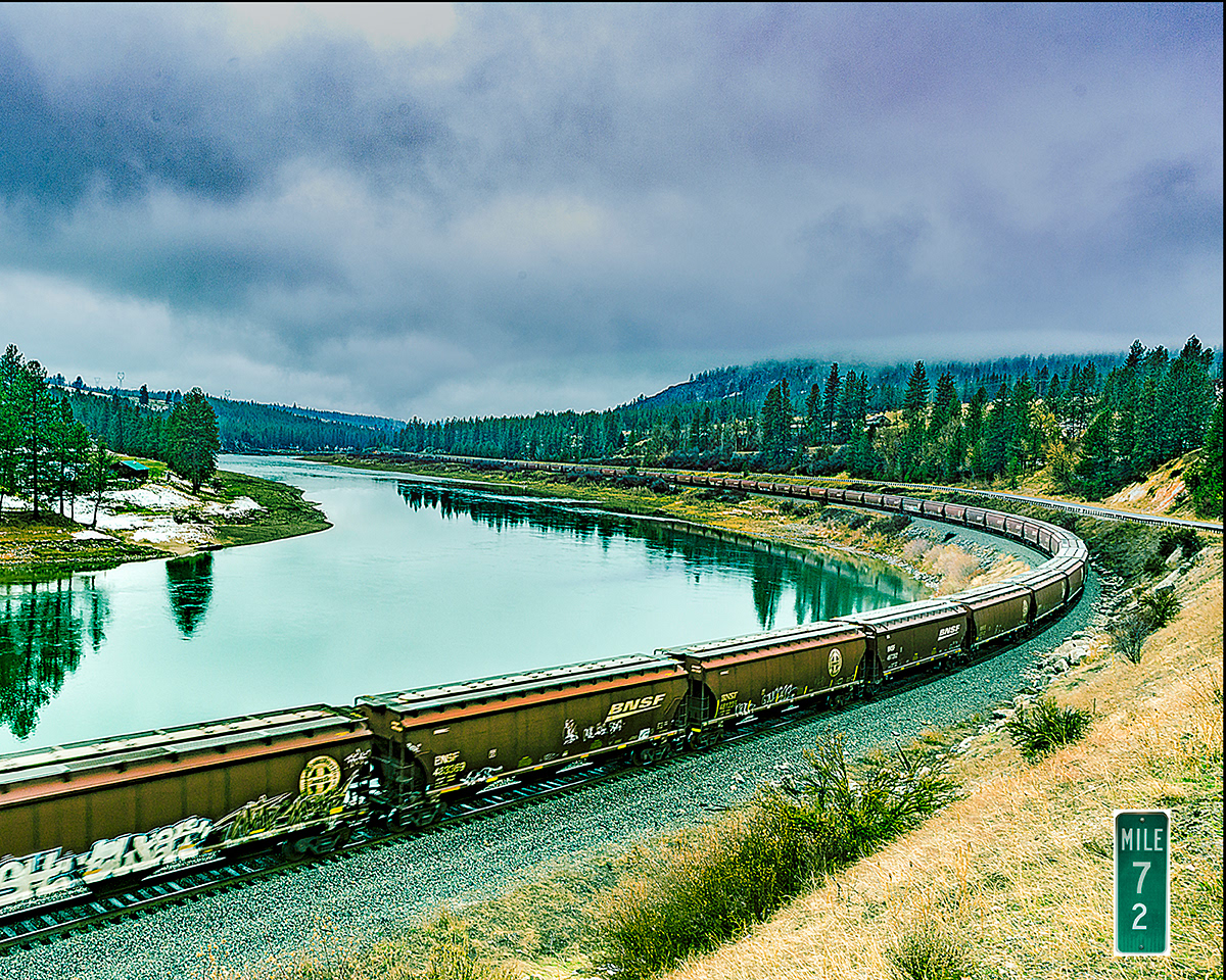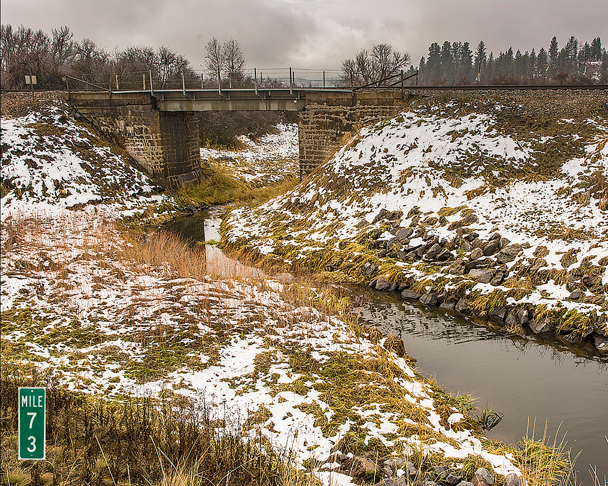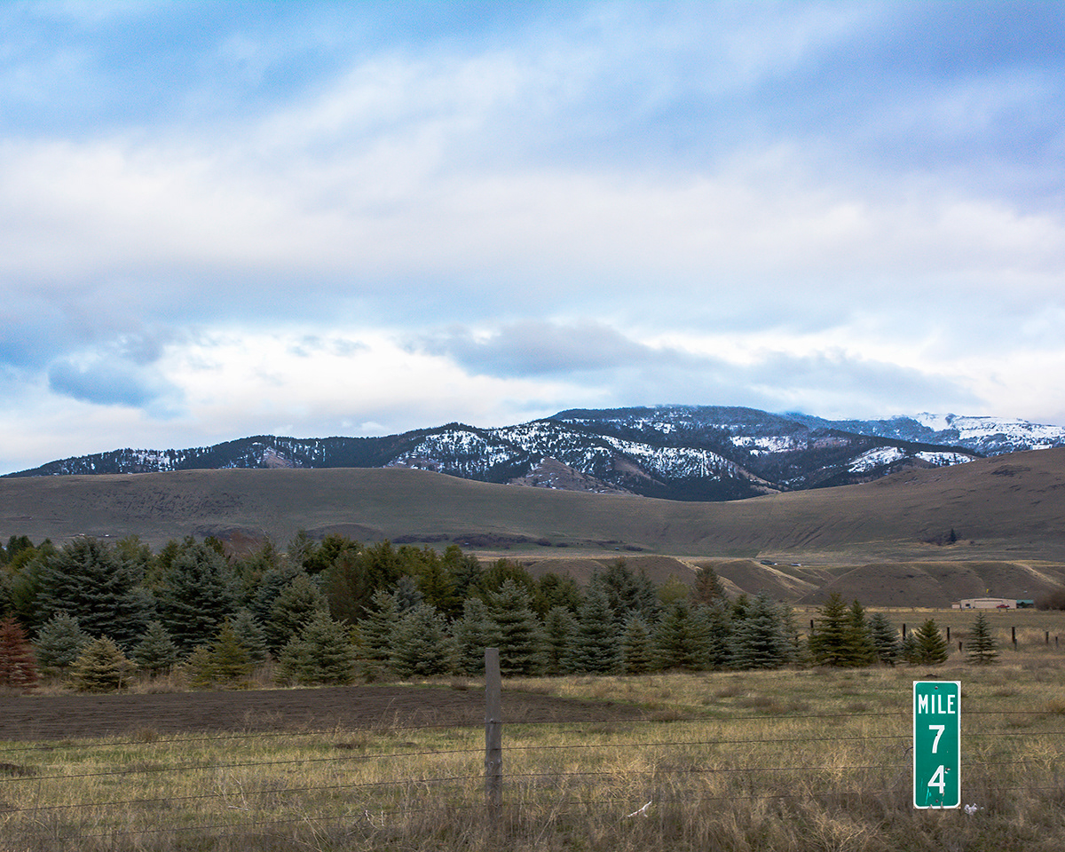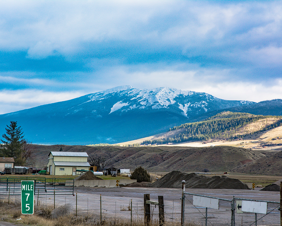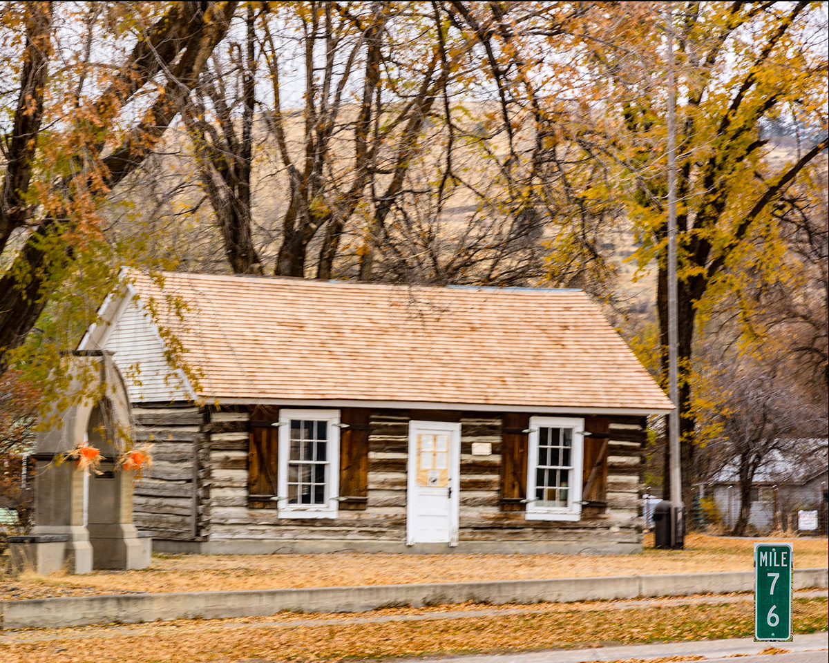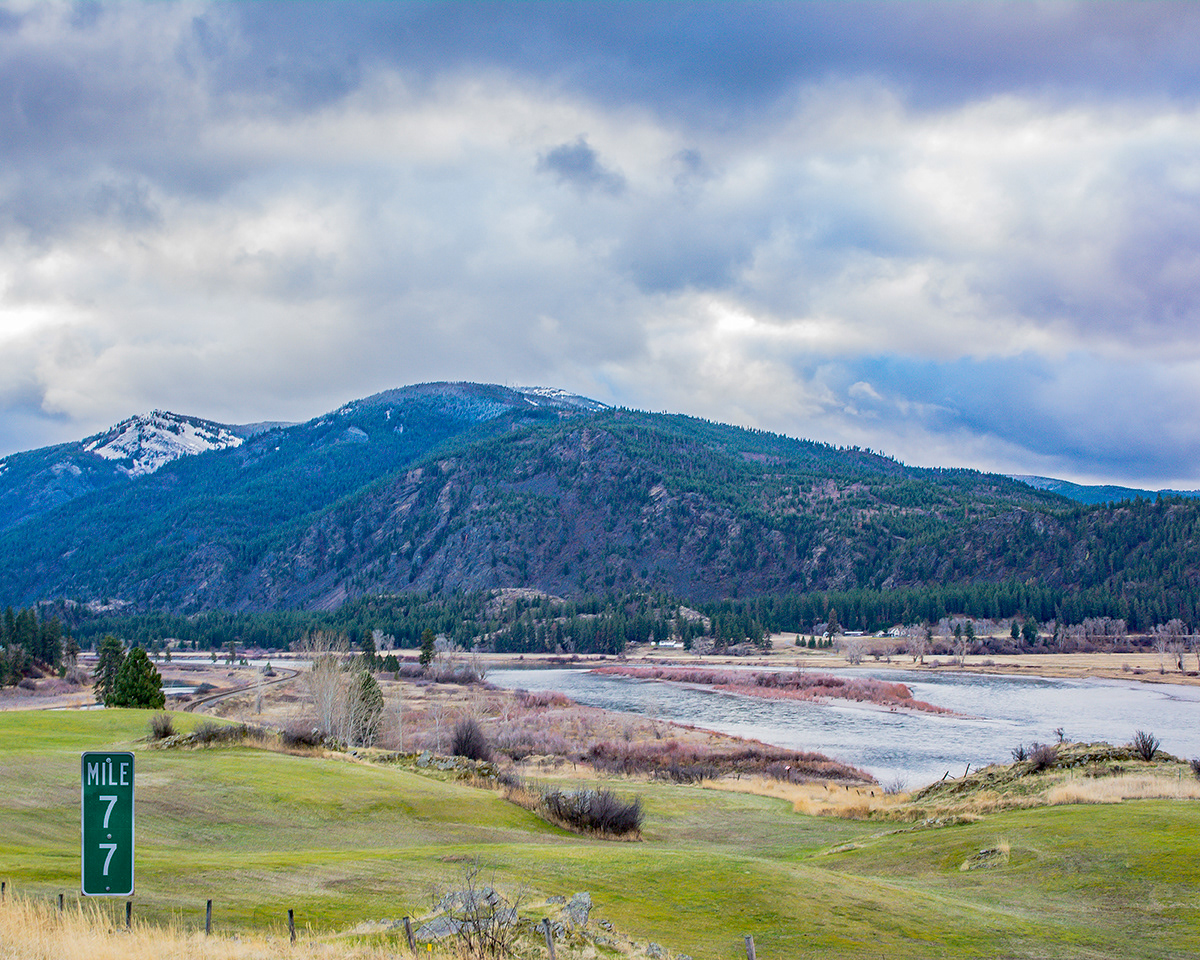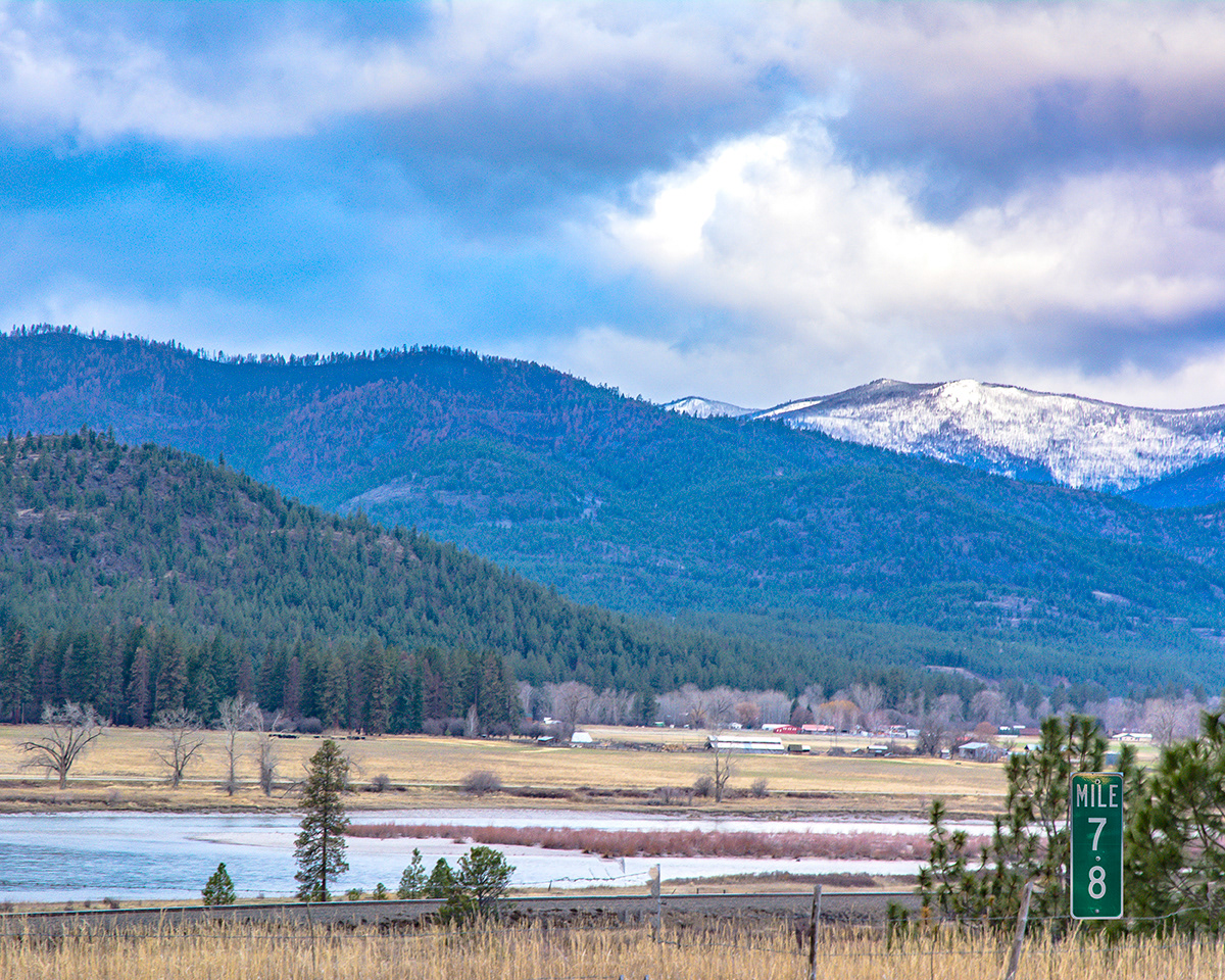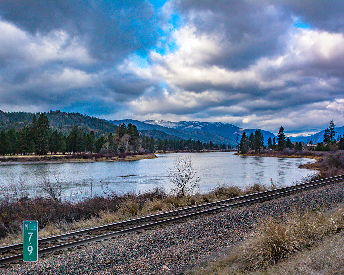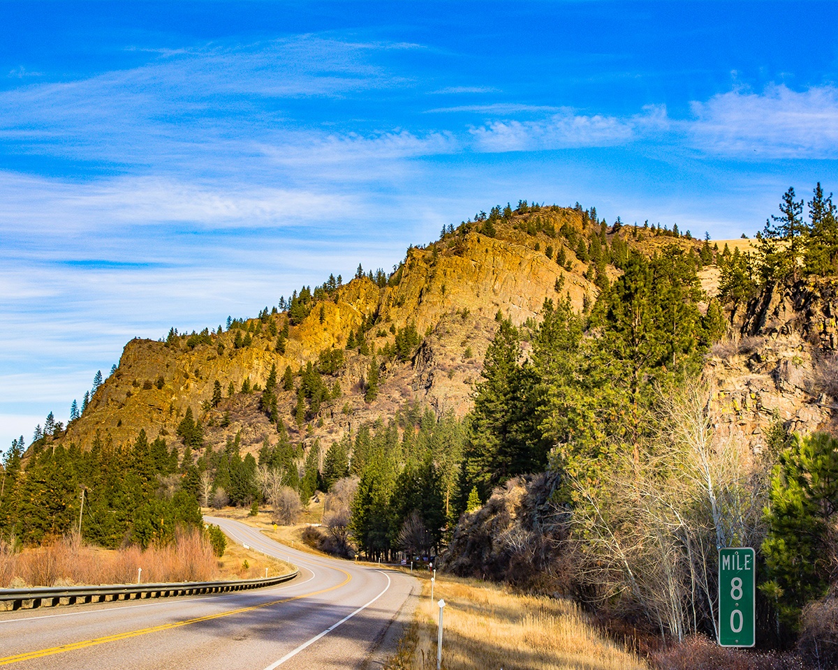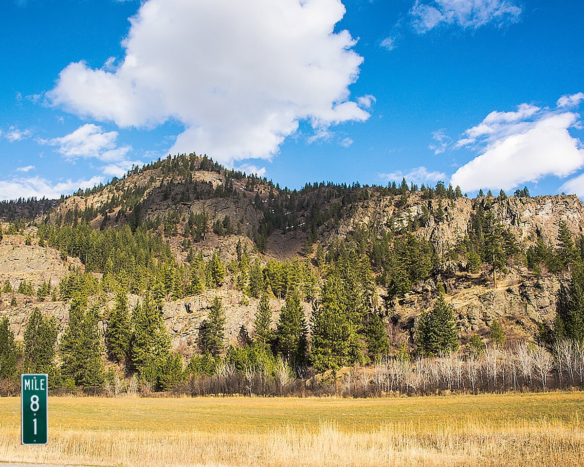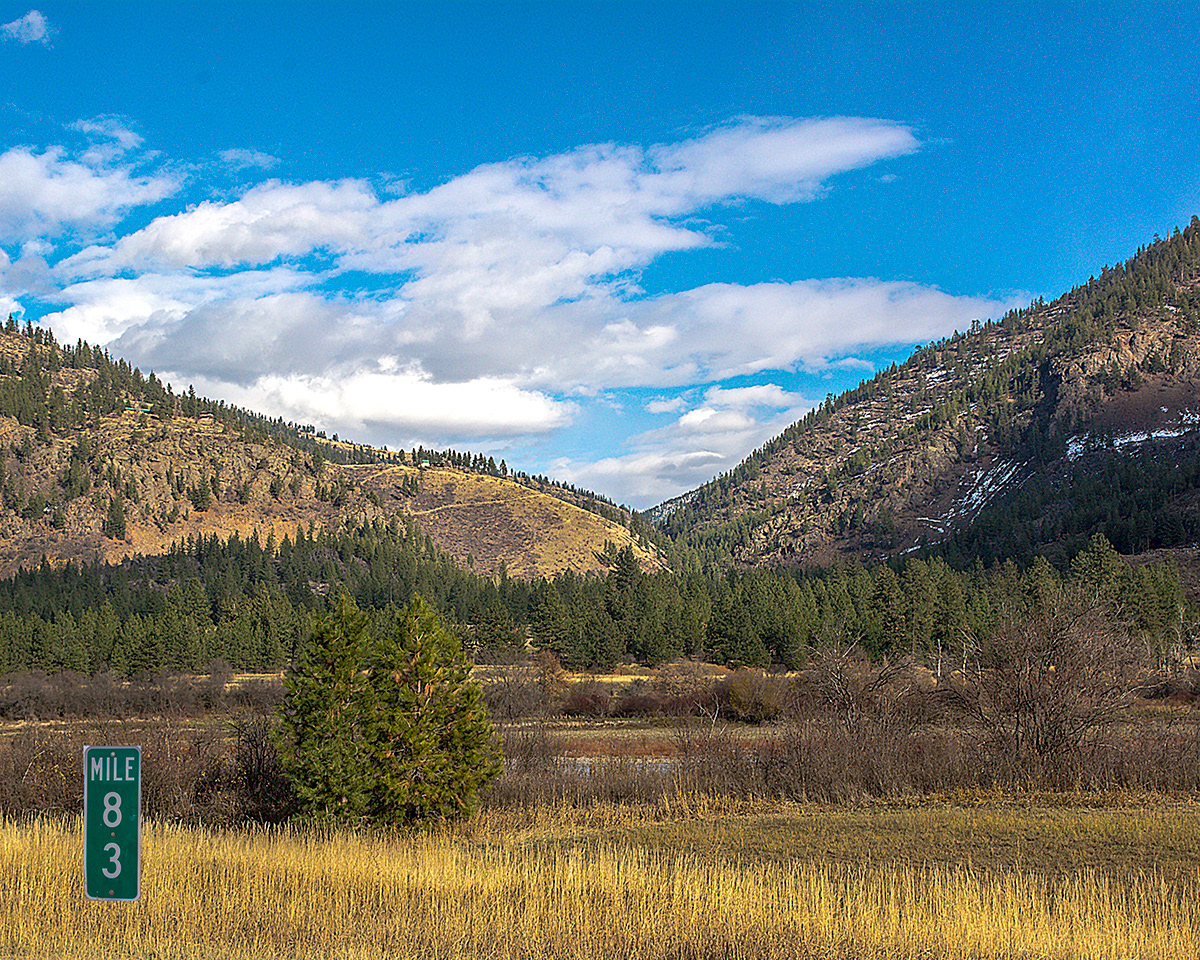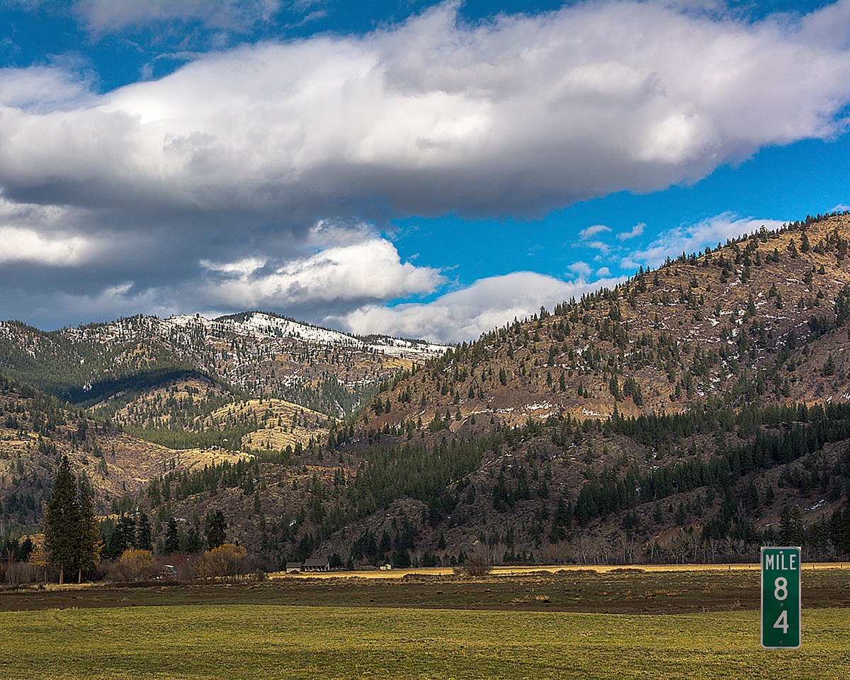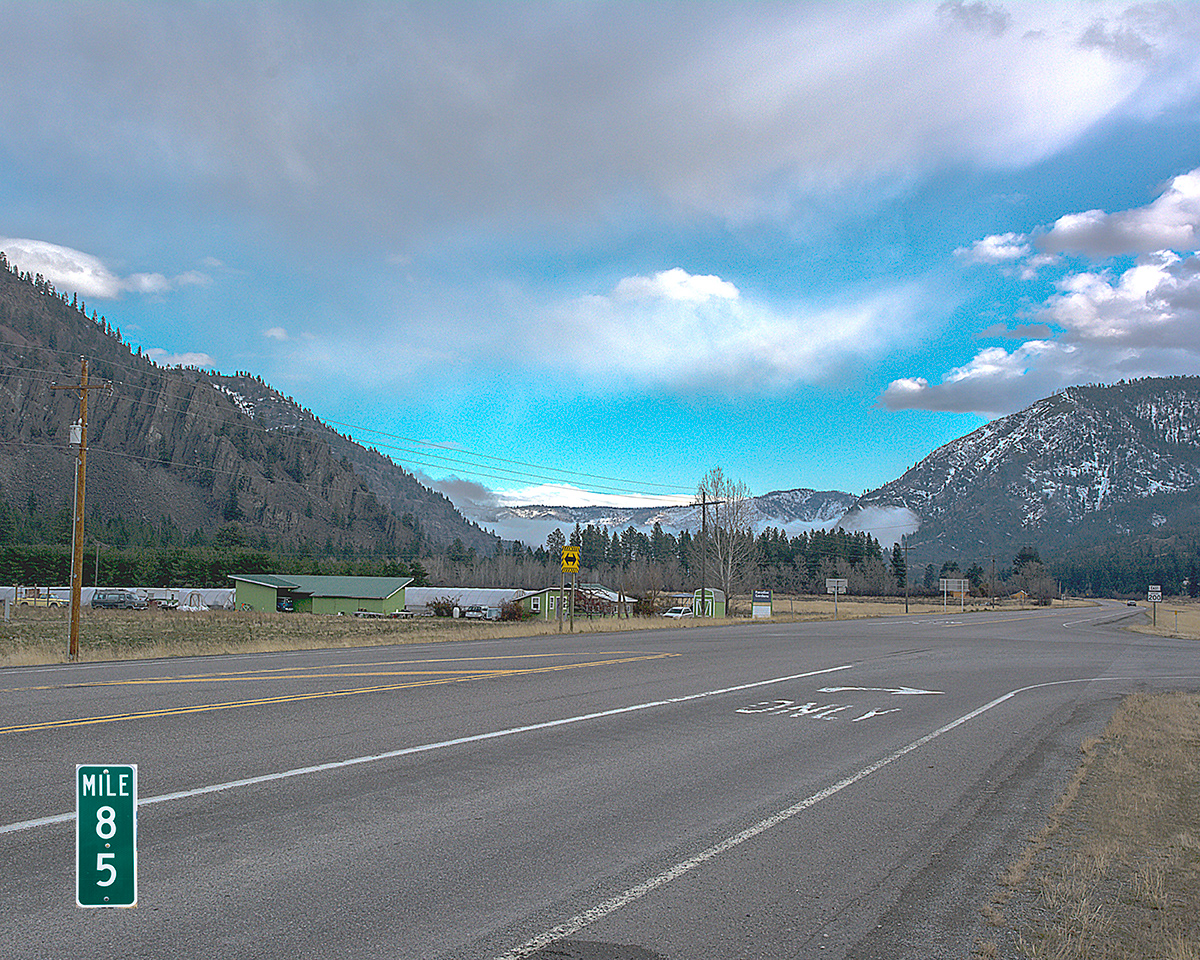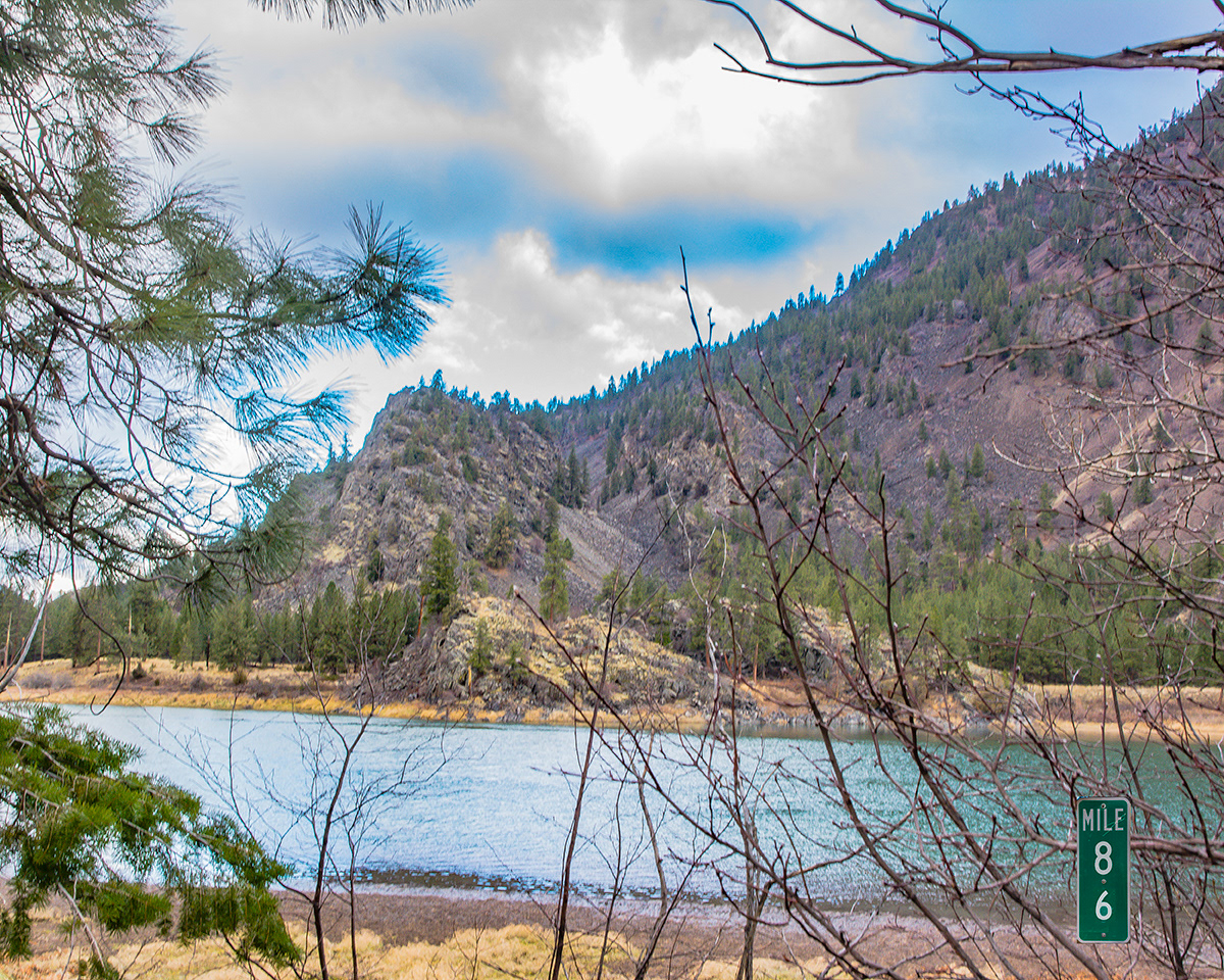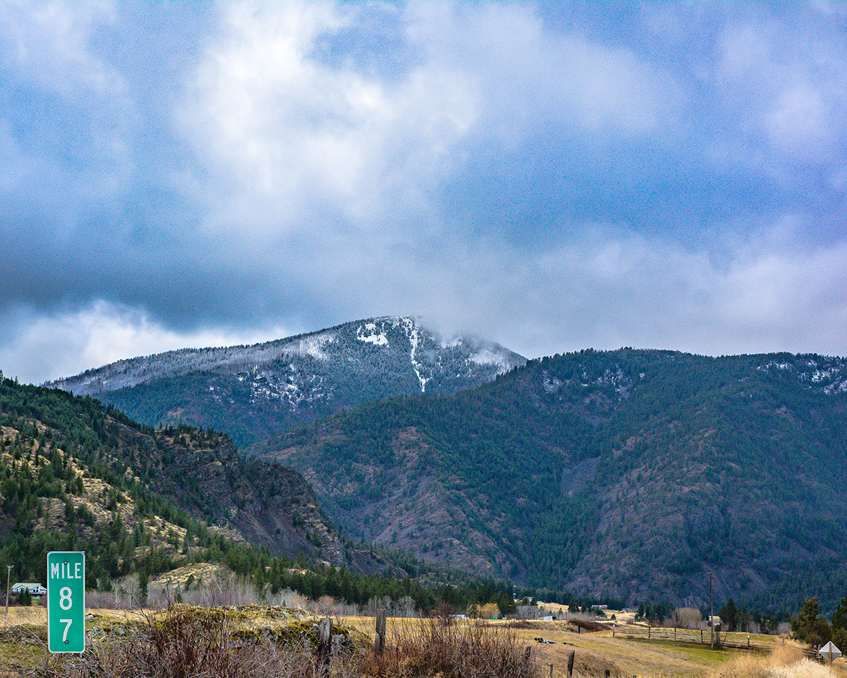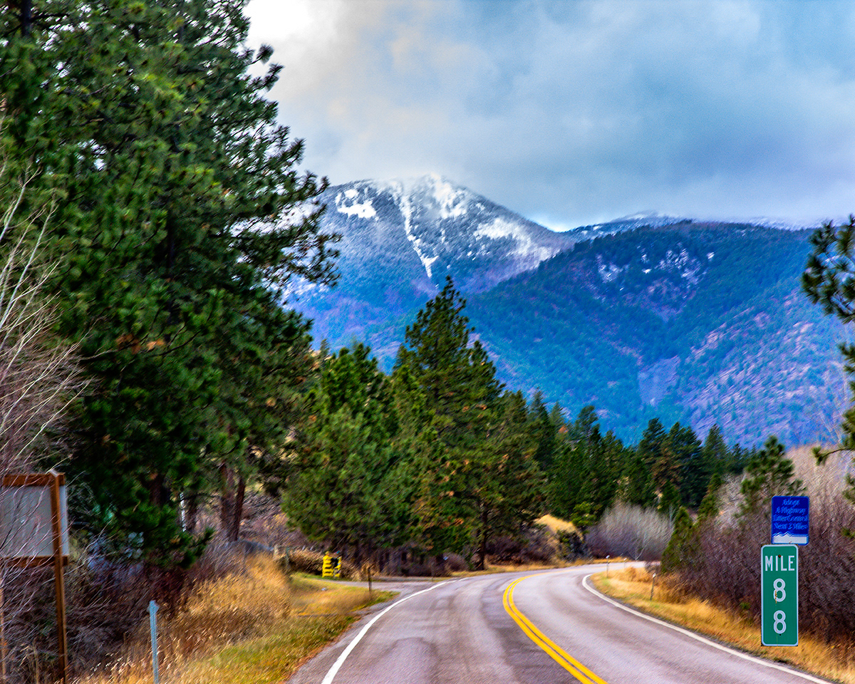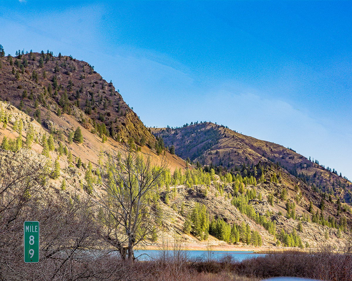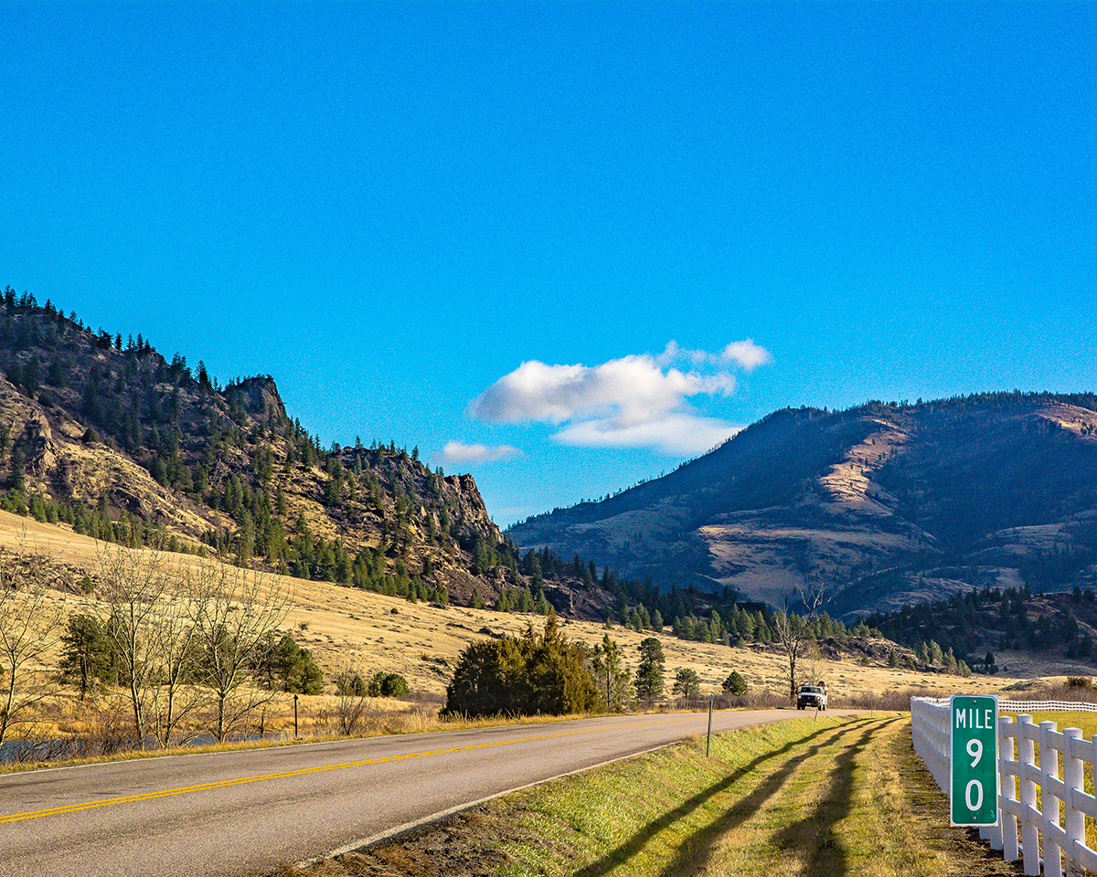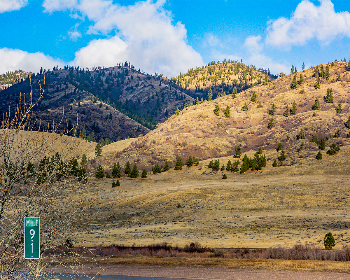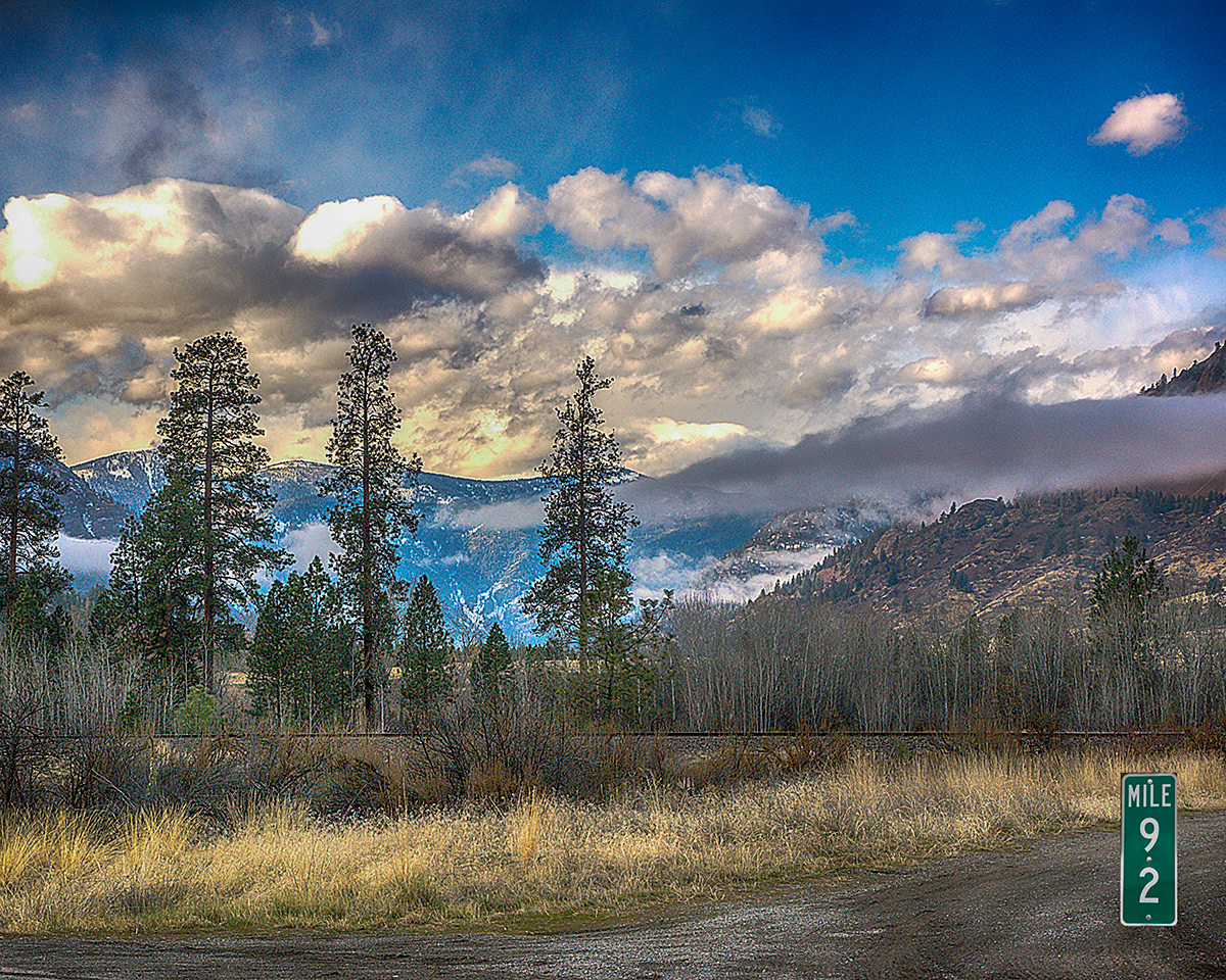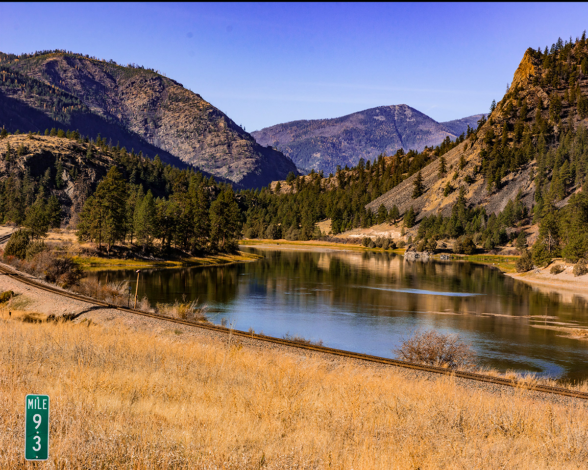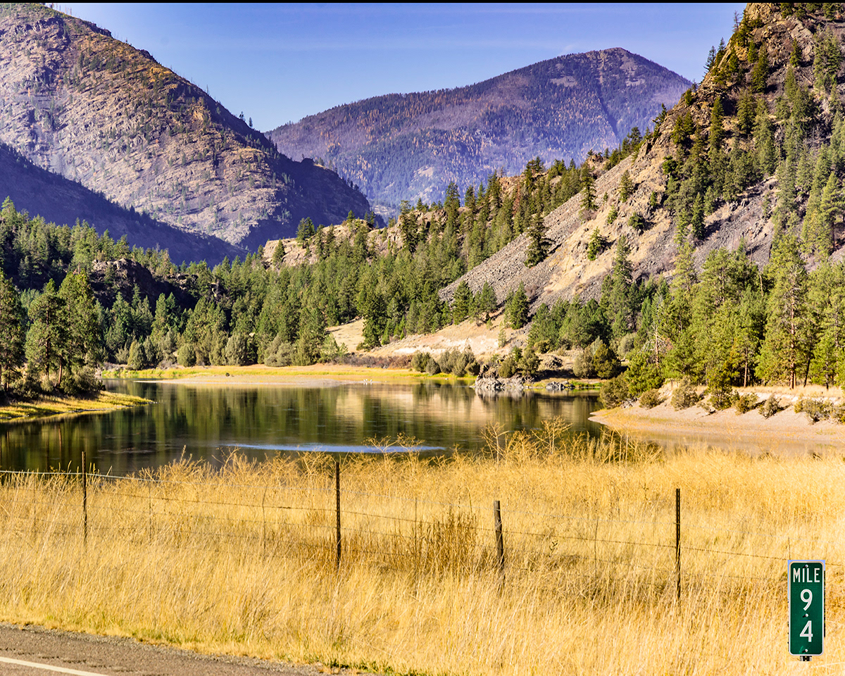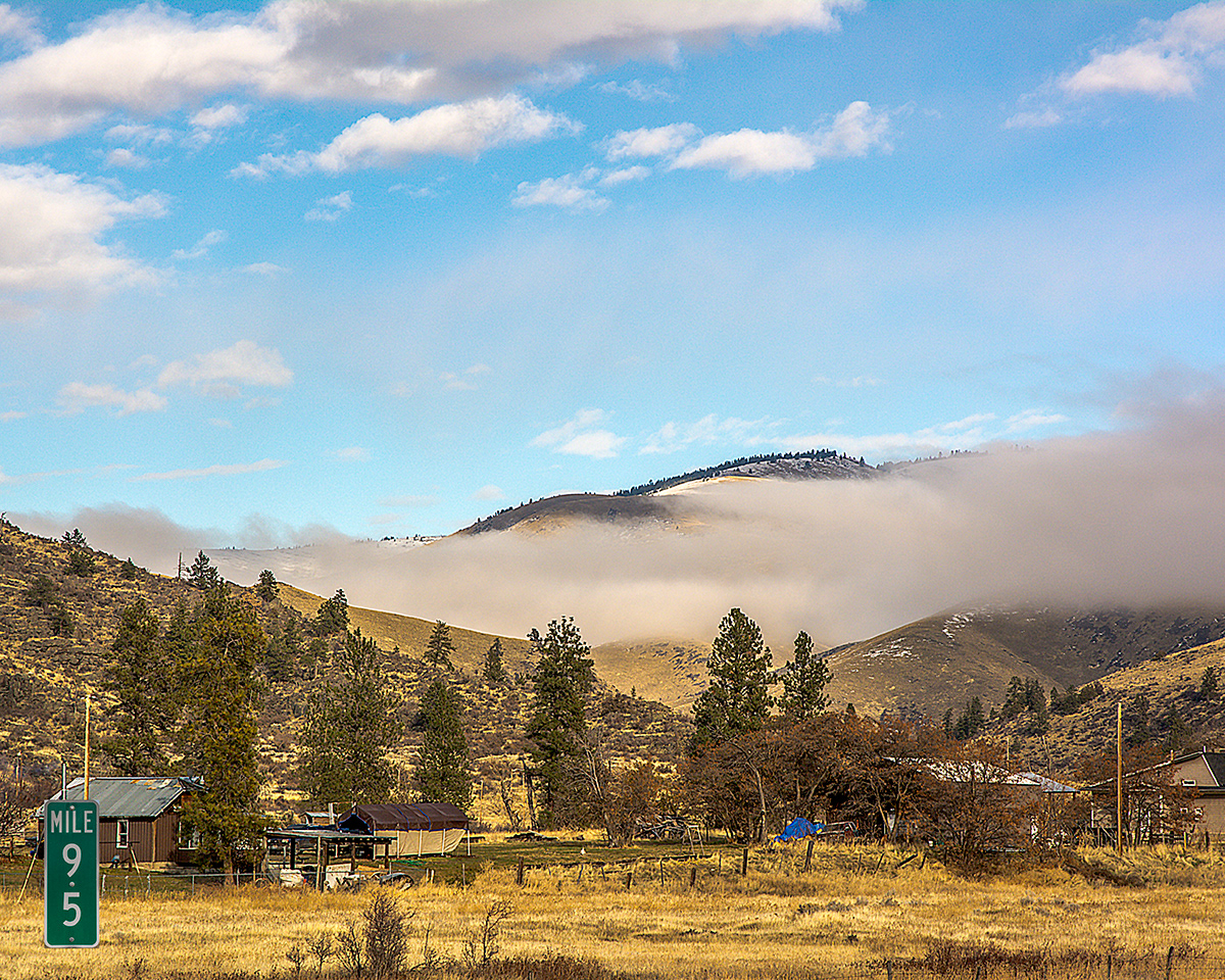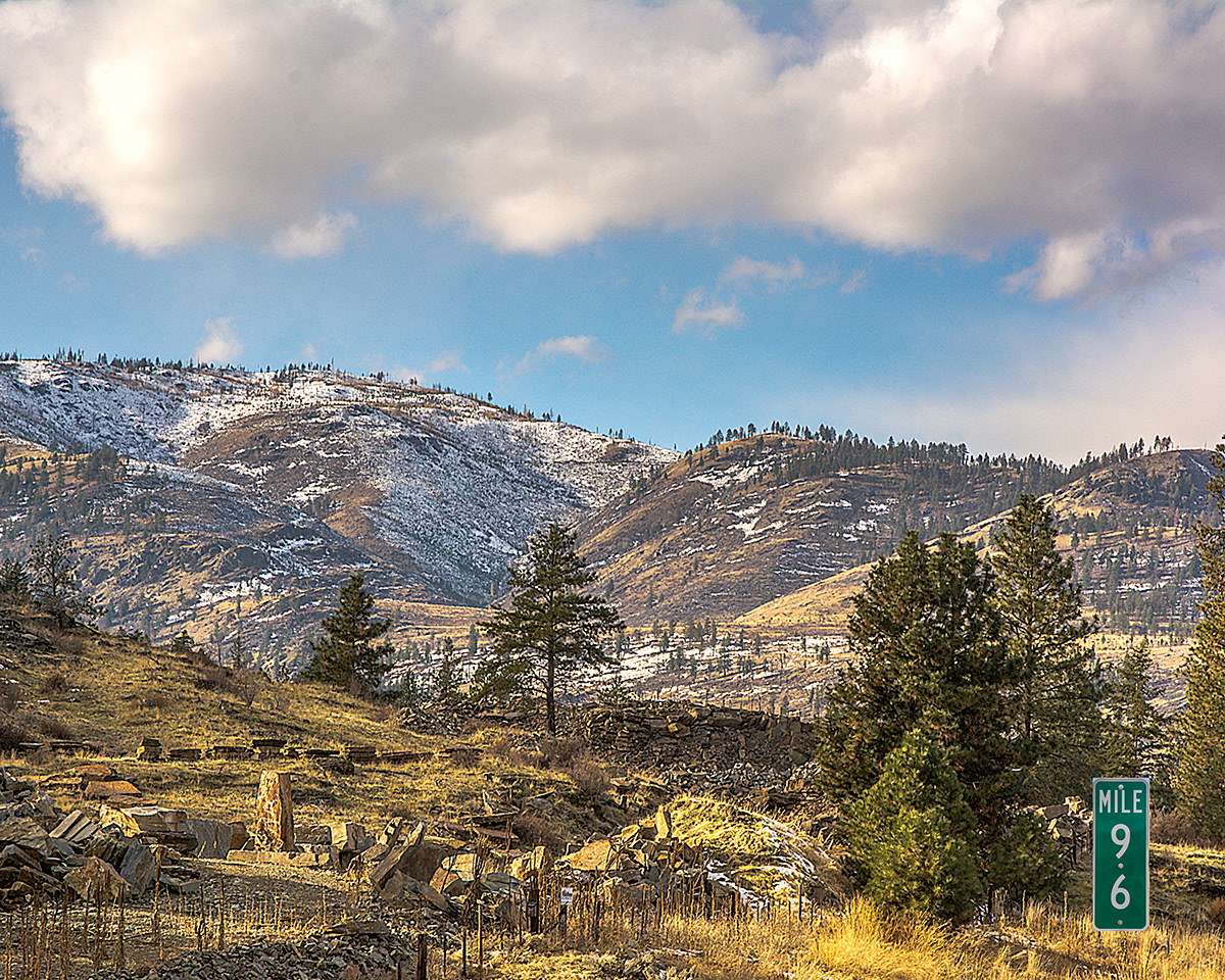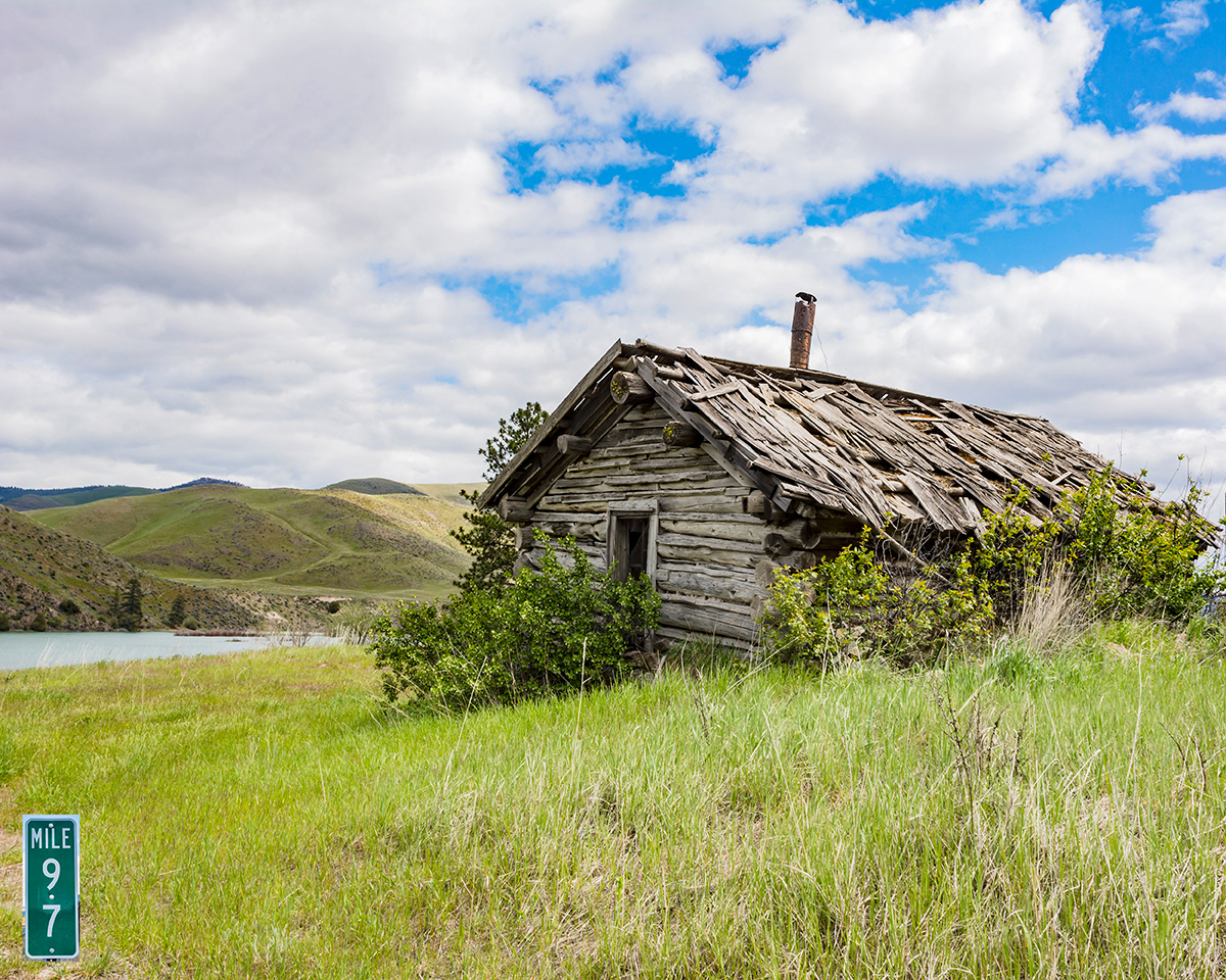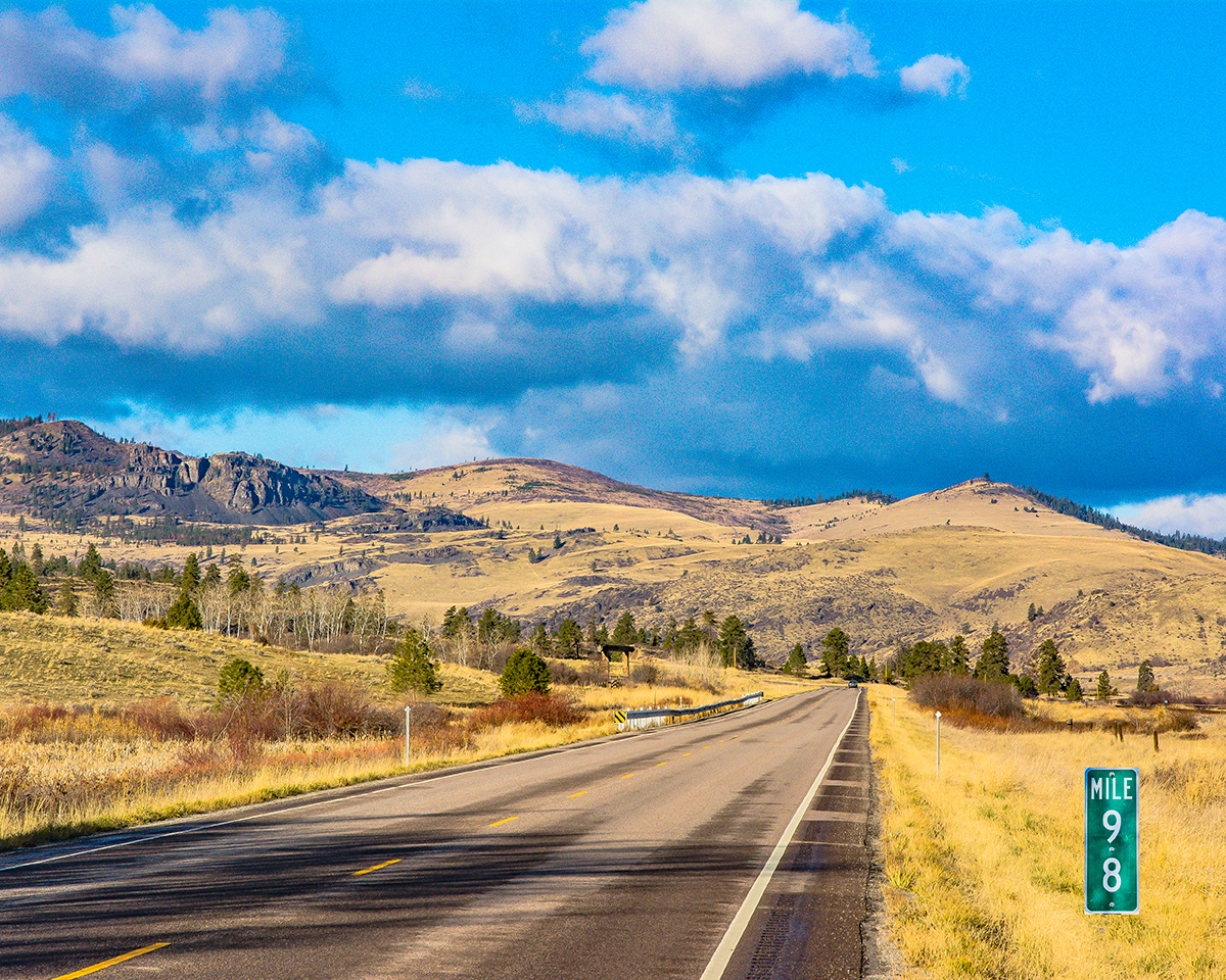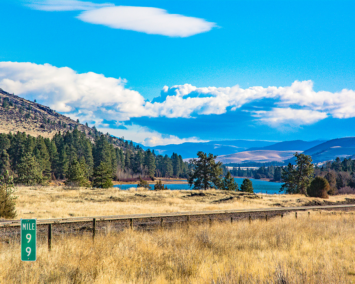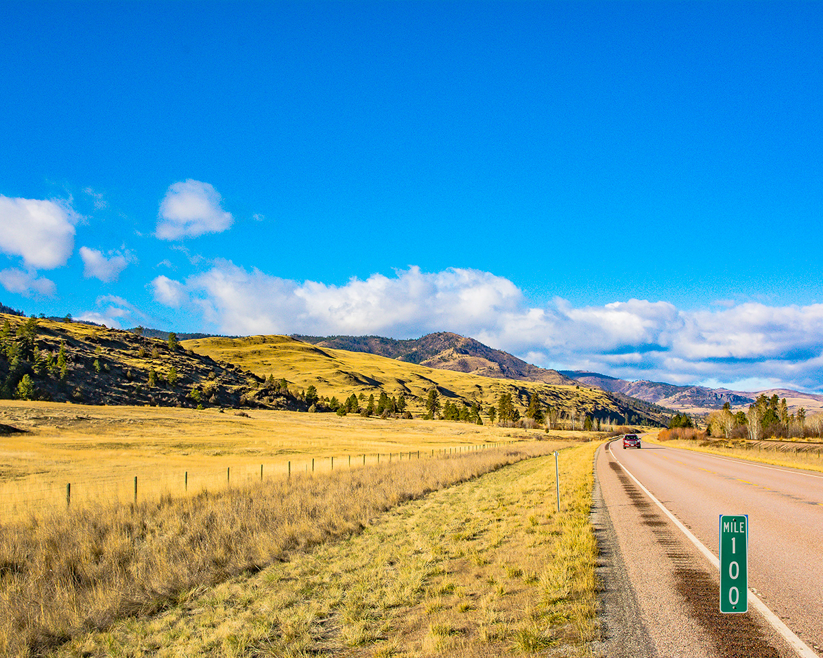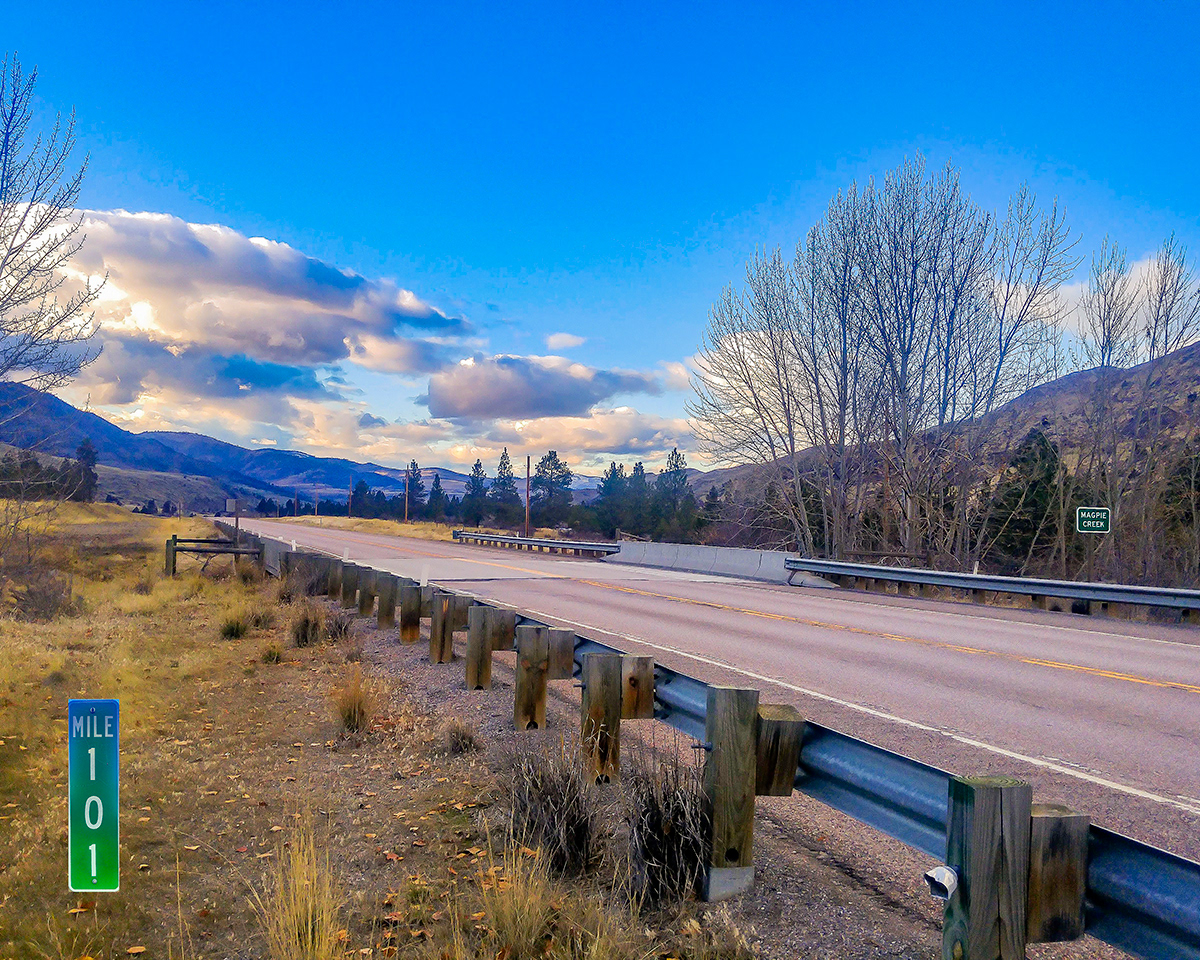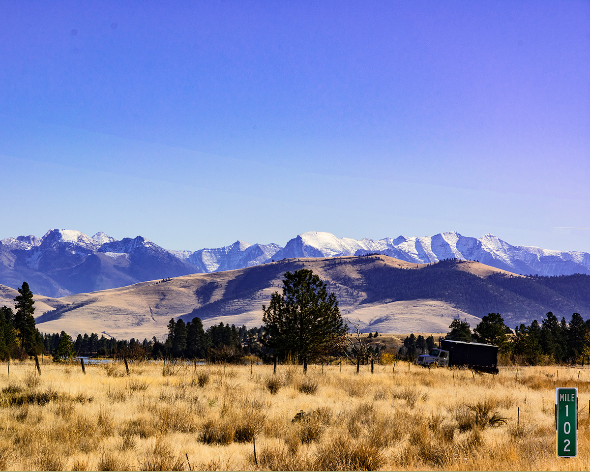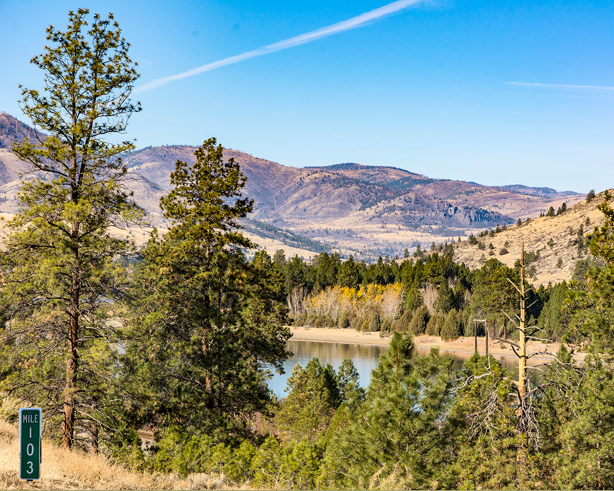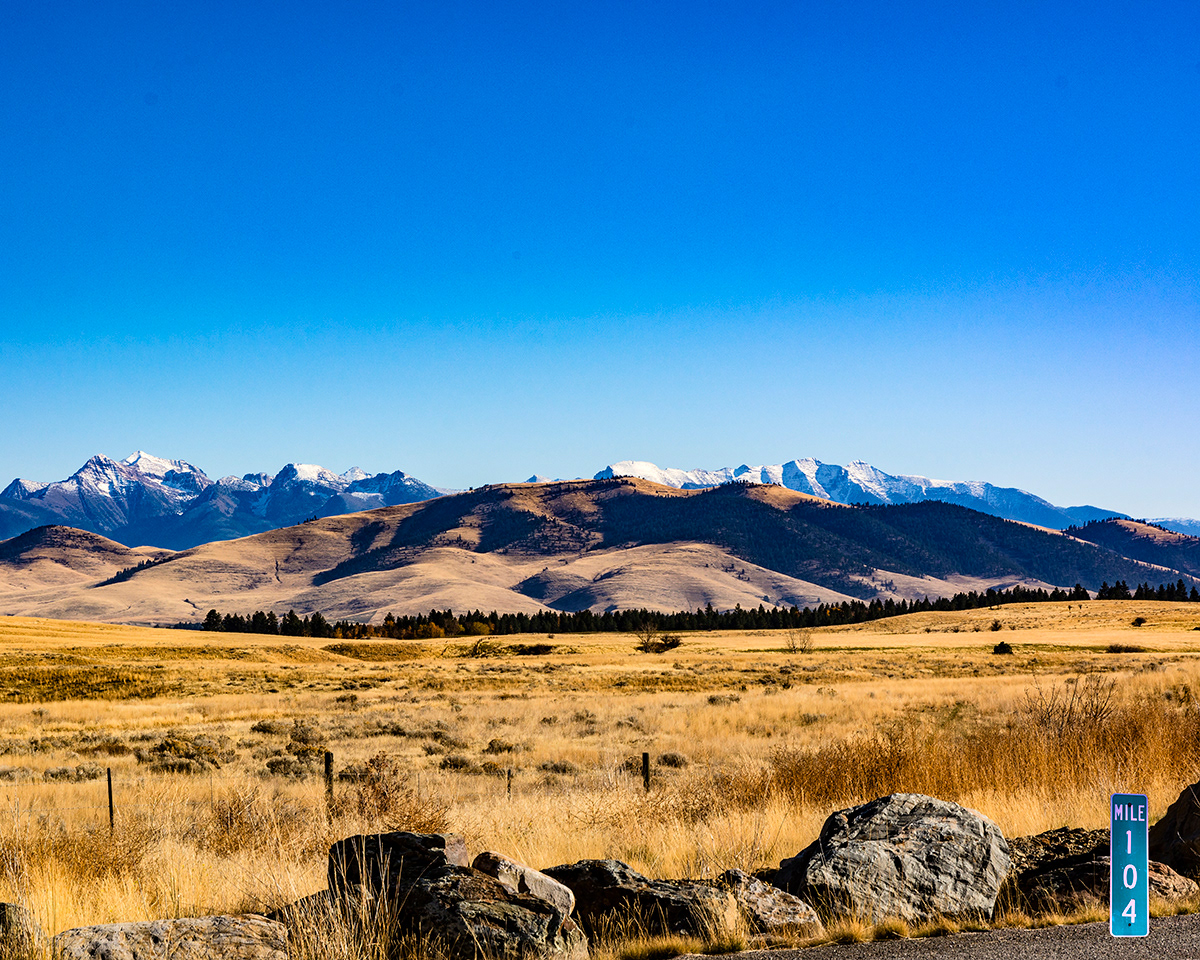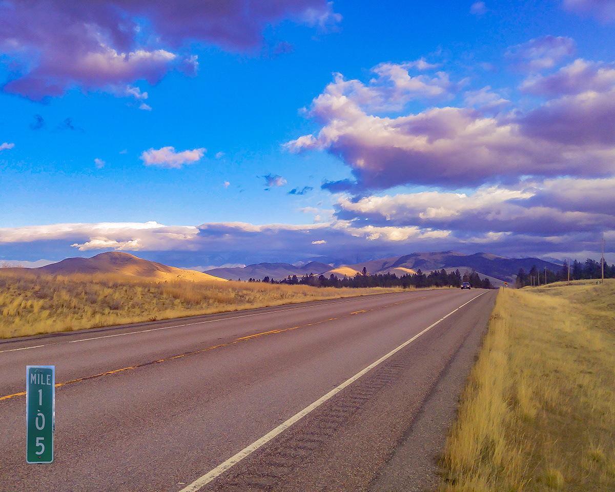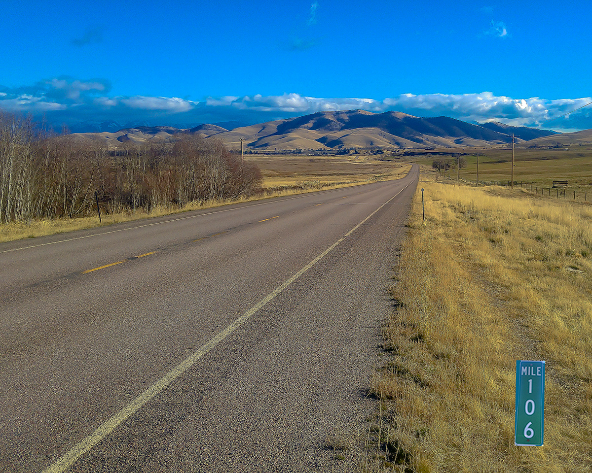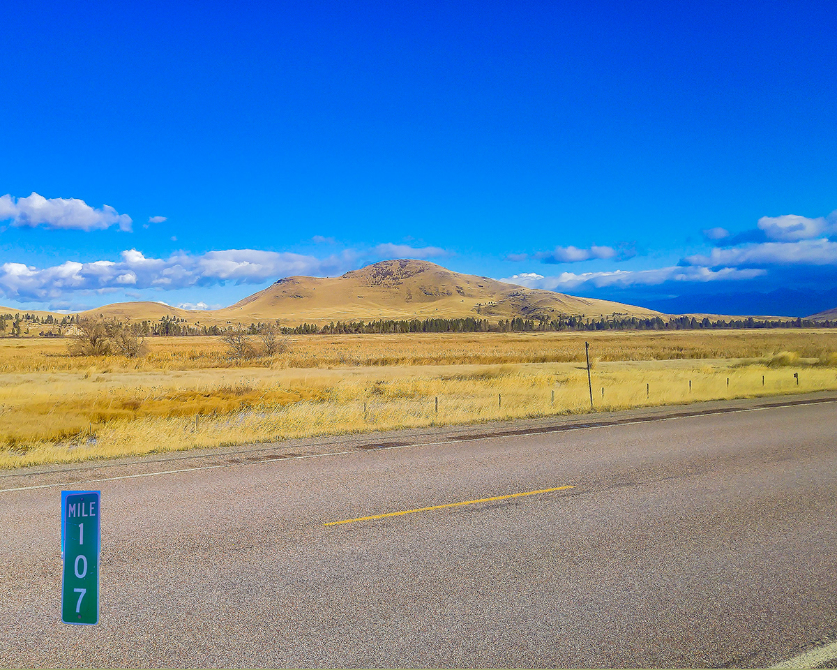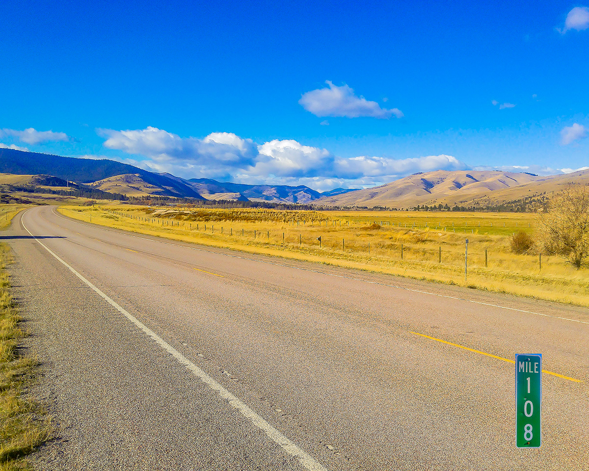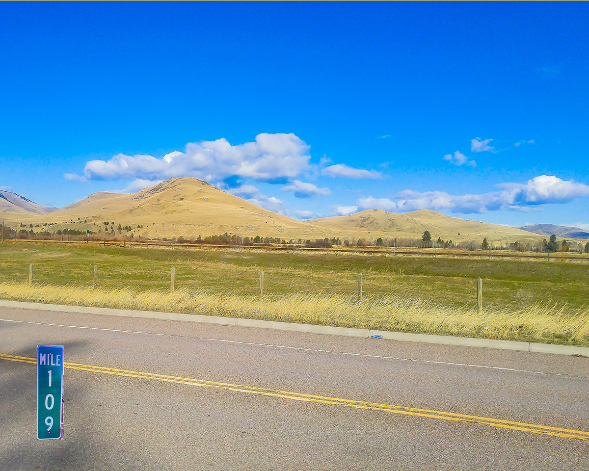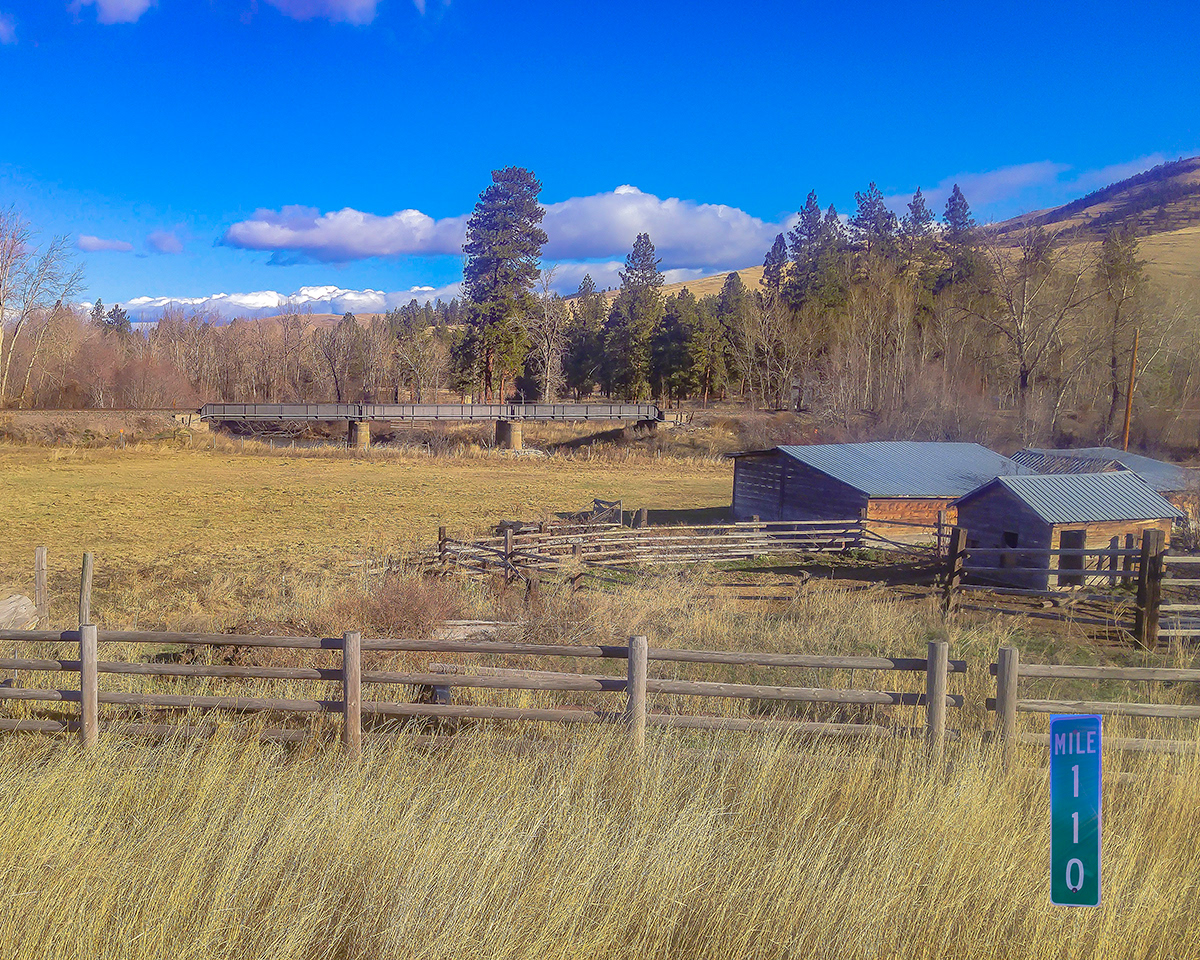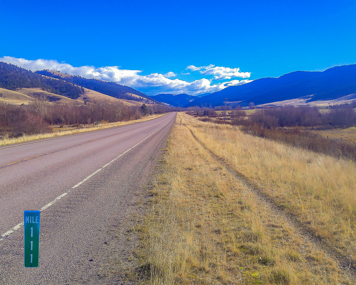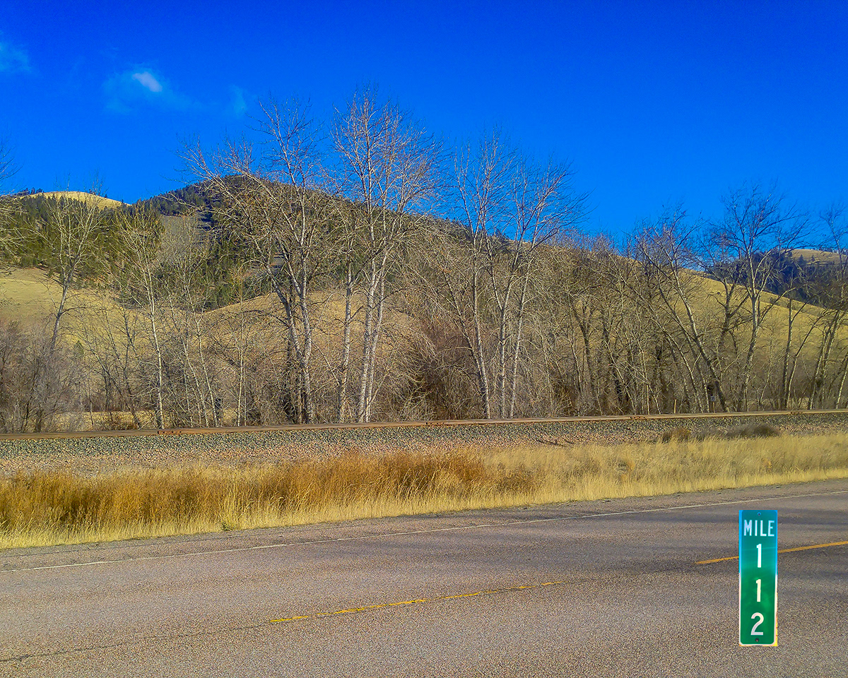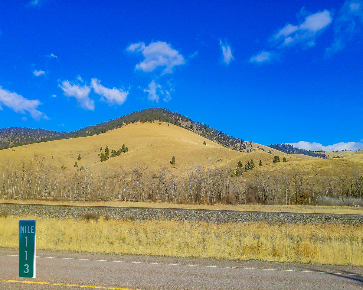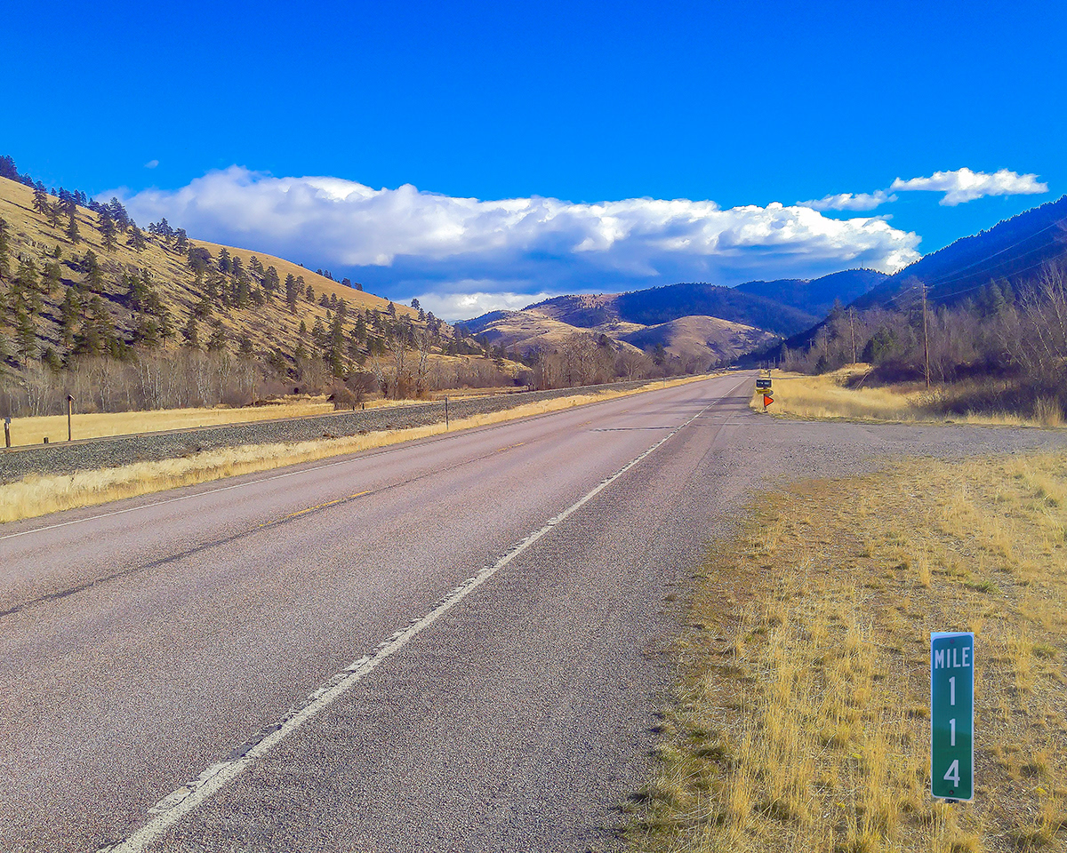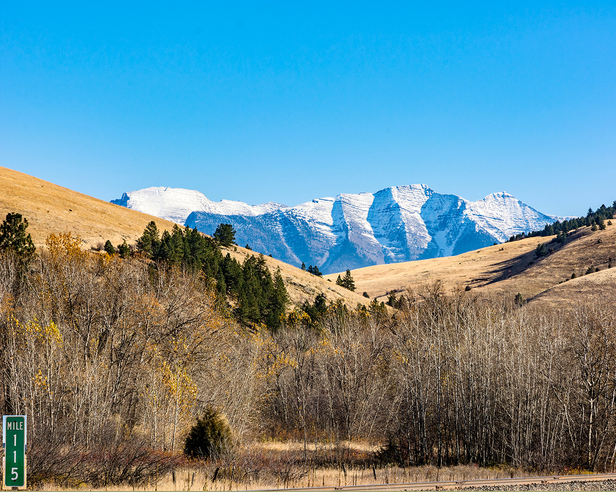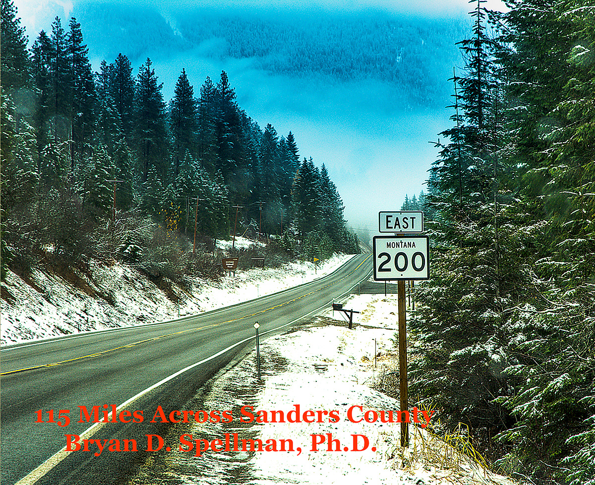
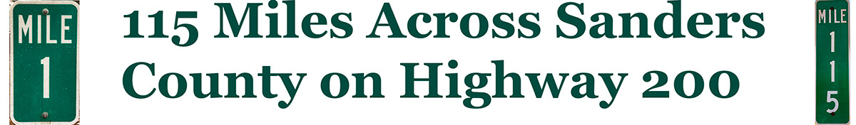
Montana Highway 200 enters the state at the Idaho border (where it is known as Idaho Highway 200). The highway continues across the state for over 700 miles until it crosses into North Dakota at the town of Fairview where it becomes North Dakota Highway 200. The first 115 miles are all within Sanders County, and the highway passes by or through all but one of the towns in the county. For its entire length it parallels a westward flowing river. The Clark Fork of the Columbia stretches from the Idaho line to Mile Marker 84. From 84 to 110, the highway follows the Flathead River, and from 110 on the Jocko River. The first seventy-five miles wind through the river canyon between the Cabinet Range on the north and the Coeur d'Alene Range of the Bitterroot Mountains on the south. Between Thompson Falls and Plains (Mile Markers 51 and 76), the highway and the river cut through Bad Rock Canyon through which Glacial Lake Missoula drained.
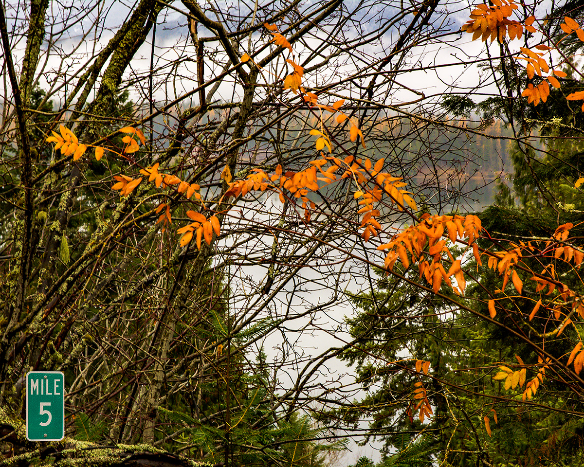
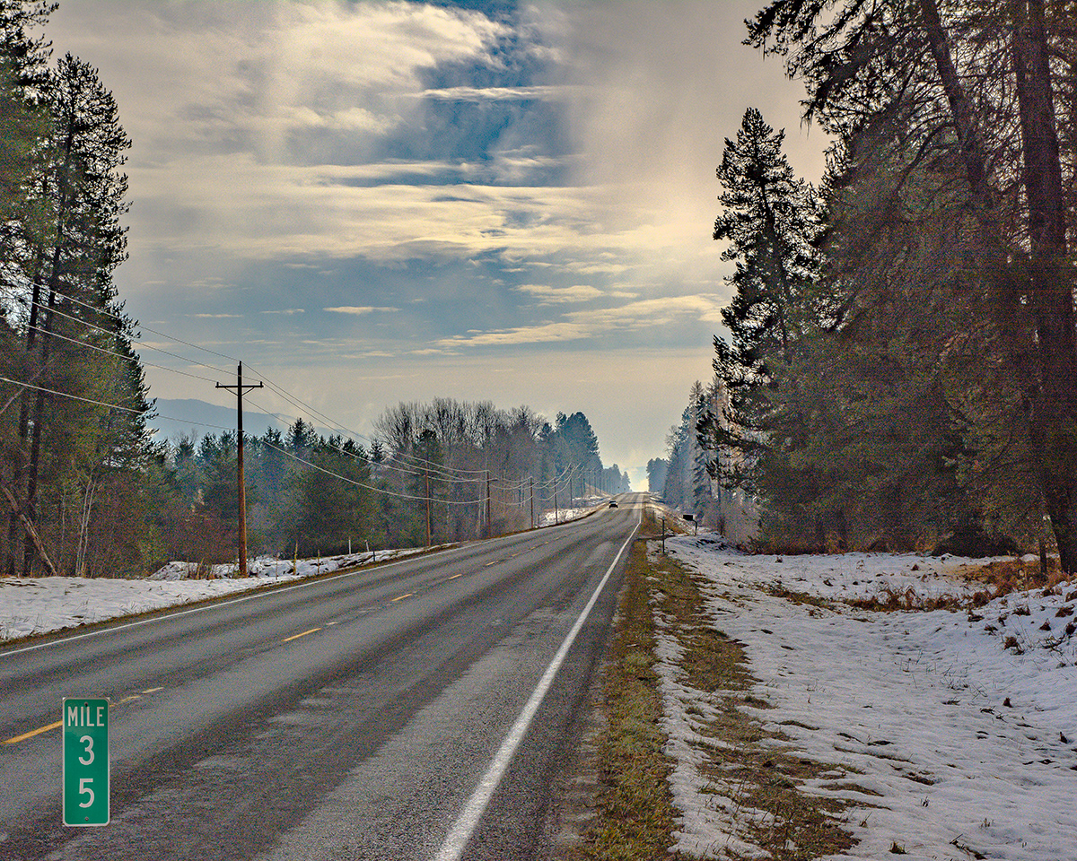
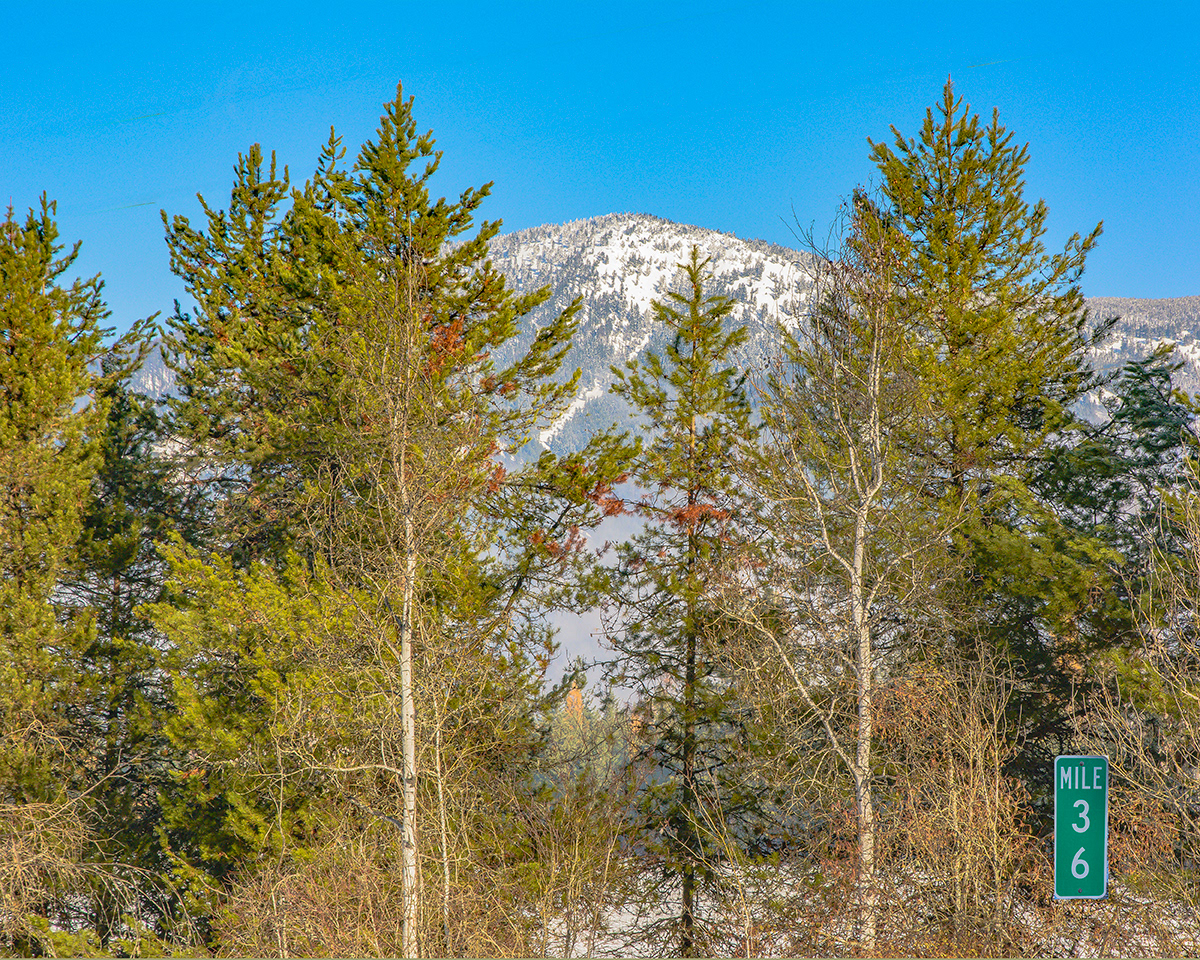
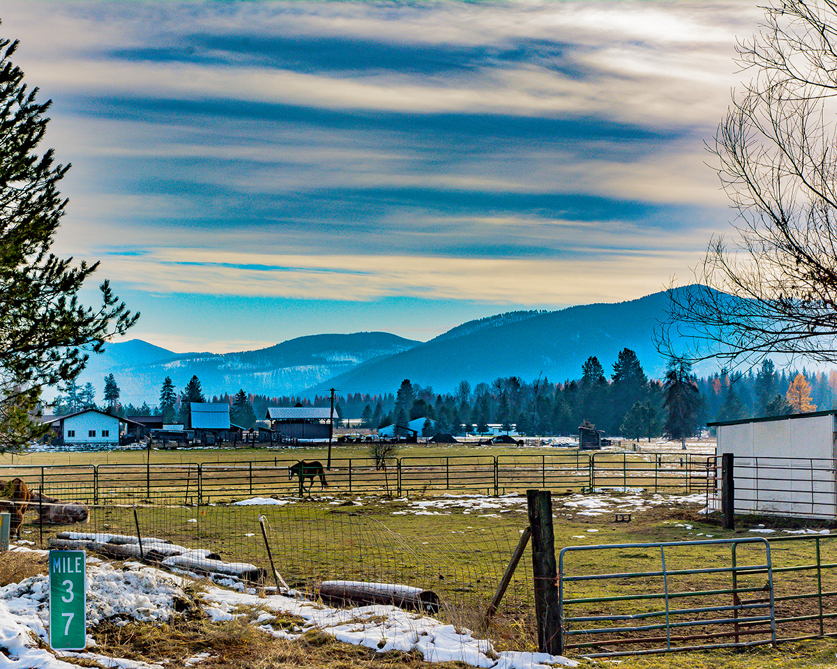
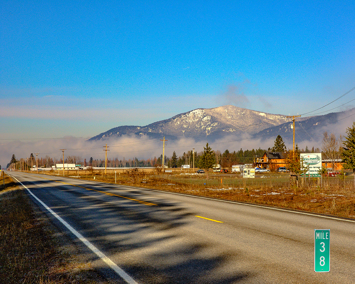
Almost all of the following photographs were taken in November, 2017, using a Nikon D7100 camera and various lenses, but usually a Nikkor 16-85 mm lens.